During the Summer 2017 term of NASA’s DEVELOP National Program, participants used geospatial data and technologies to monitor the health of mangroves and marine reserves, monitor and manage invasive species, and study natural disasters across the world. Each project completed by a DEVELOP team is conducted in partnership with state and federal agencies or organizations local to the study area. Fundamental to the analytical and geospatial component of each of these projects is NASA Earth science remote sensing data. Many of these projects use data collected by the Moderate Resolution Imaging Spectroradiometer (MODIS) instrument onboard NASA’s Aqua and Terra platforms, Terra's Advanced Spaceborne Thermal Emission and Reflection Radiometer (ASTER), and NASA’s Shuttle Radar Topography Mission (SRTM). These data are distributed by NASA's Land Processes Distributed Active Archive Center (LP DAAC).
All projects conducted in the Summer Term, as well as in past terms, can be found in the DEVELOP archive.
Featured Project: Vulnerability to Fire Hazards in the Appalachian Forests.
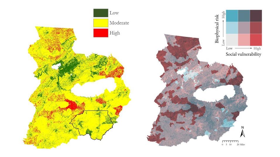
One of the projects, Monitoring Vulnerability, Wildfire Damage, and Recovery in the Appalachian Forests, used NASA Earth observation data to study vegetation changes in Georgia, North Carolina, and Tennessee after unusually destructive fires in 2016. More than 60 fires ignited throughout the Southern Appalachian region in October and November 2016, highlighting a need to better understand the area’s vulnerability to wildfires, damage caused by the fires, and the necessary recovery efforts in the area. The Southern Appalachia Disasters II team partnered with the U.S. Forest Service to determine how the land changed as a result of the fires.
