Instruments and Techniques Used
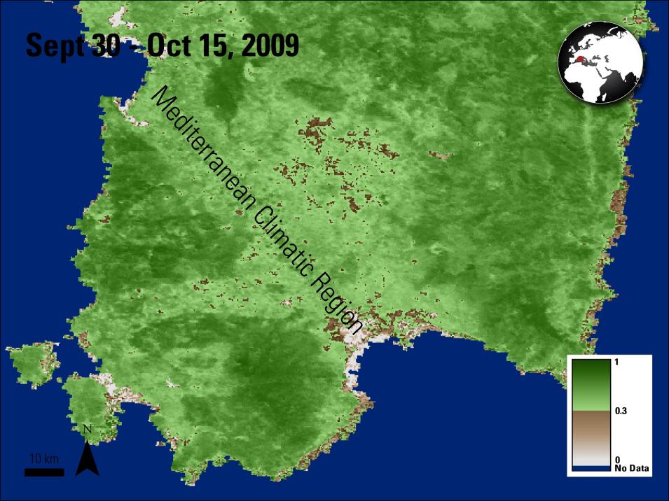
Data from April 23 and October 1 of each year are used, as these two dates correspond with the highest occurrence of wildfires in Sardinia. The authors then average the Normalized Difference Vegetation Index (NDVI) values of each 16-day composite, creating a mean NDVI profile for the seasonal variations. Next they apply an analysis to create PFCs, identifying fire vulnerability in areas with similar types of vegetation and in similar vegetated states, based on the NDVI data.
Using the Coordination of Information on the Environment (CORINE) Land Cover data, a climatic map of the region, and local wildfire data, the authors were able to identify the types of land cover that are associated with different phenological fuel classes (PFCs) across several regions. Based on this data, the authors are able to identify the areas that were more susceptible to wildfires.
Major Findings
The authors find that arable lands in the Mediterranean climate have the highest risk of fire. They believe this is due to an increased presence of humans in the area, as well as PFCs in the area that dry quickly and can easily burn after a short period of dry weather. The authors find naturally occurring land cover in areas, such as forest and shrubland, have the lowest fire risk. Typically these areas contain vegetation that takes longer to dry completely, and thus it has a lesser chance of igniting. Based on their research, the authors found that the MODIS NDVI time-series provides a suitable basis for creating fire fuel maps and can be used in future fire prediction models.
References
Publication Reference
Bajocco, S., Dragoz, E., Gitas, I., Smiraglia, D., Salvati, L., and Ricotta, C., 2015, Mapping forest fuels through vegetation phenology—The role of coarse-resolution satellite time-series: PLOS ONE, v. 10, no. 3, p. 1-14. doi:10.1371/journal.pone.0119811
Image Reference
Granule ID: MOD13Q1.A2009273.h18v04.005.2009306231511


