Spectroscopy is the measurement of how materials interact with electromagnetic radiation across the spectrum. By recording the unique high-resolution spectral signatures of materials such as vegetation, soils, minerals, water, or snow in their natural environments, spectroscopy provides detailed information about their composition, physiological condition, and physical properties.
Spectroscopy is based on the principle that different materials absorb, reflect, transmit, and emit electromagnetic radiation in distinctive ways. These interactions create measurable patterns, or unique spectral signatures, that can be used to identify materials and estimate their properties and abundance.
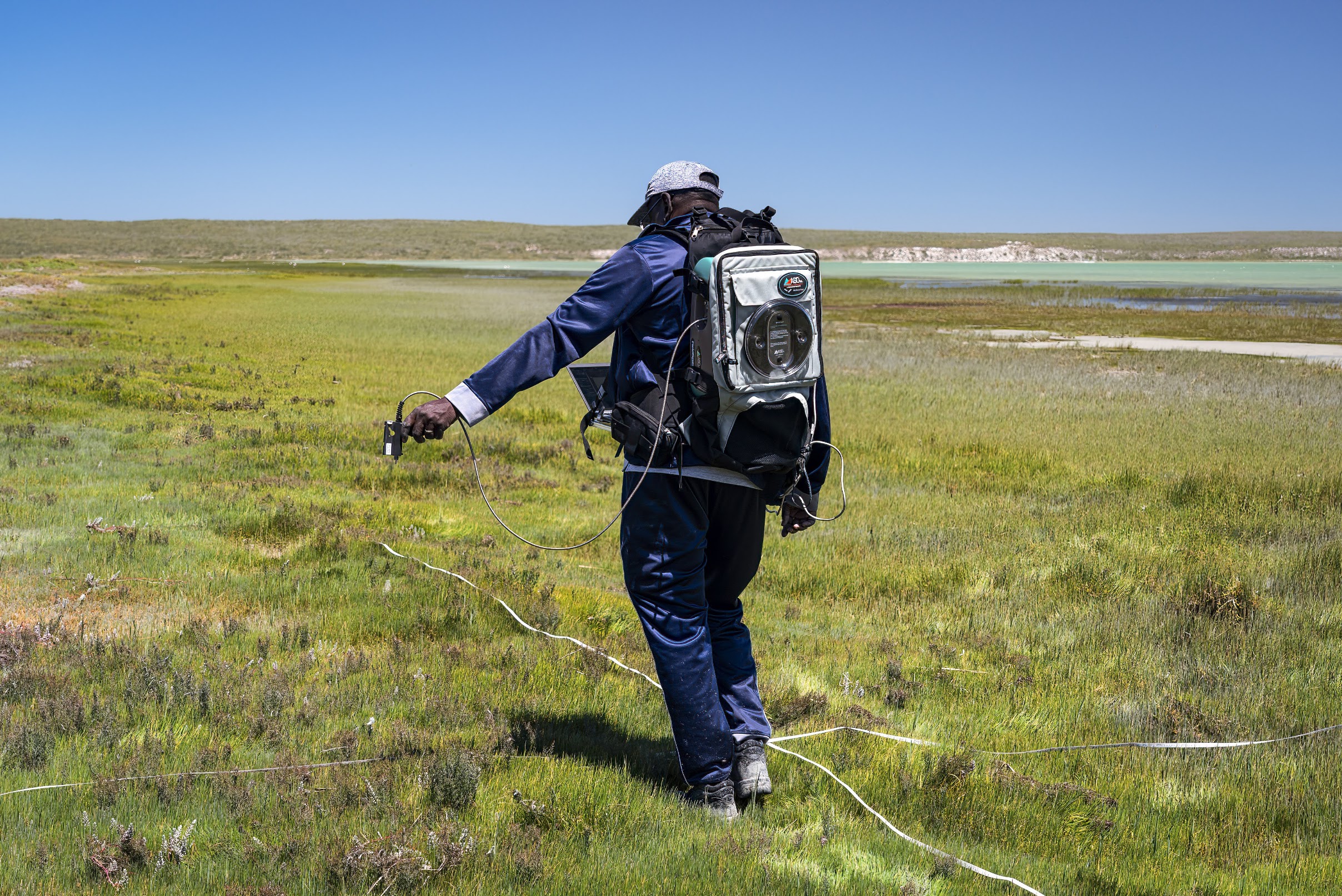
Field spectroscopy involves collecting quantitative measurements of the radiance, irradiance, reflectance, or transmittance of materials by using portable spectroradiometers that can measure reflected or emitted radiation across hundreds or thousands of narrow wavelength bands. Typically, the measurements spans reflected solar radiation in the visible, near-infrared (VNIR), and shortwave infrared (SWIR) regions of the spectrum, or emitted thermal radiation in the thermal infrared. Unlike laboratory spectroscopy, which operates under strictly controlled, artificial conditions, field spectroscopy observes materials in situ. Instruments are deployed directly on the ground, from fixed observation platforms, or on boats to characterize conditions as they occur in nature. This means measurements incorporate real-world variables such as solar illumination, atmospheric attenuation, soil moisture, canopy geometry, and mixtures of naturally occurring waterborne constituents.