Earthdata has a range of tutorials, data recipes, and webinars for users interested in learning more about how to use Geographic Information Systems (GIS) with NASA Earth science data. Explore our GIS-related learning resources below.

Learn

Filters
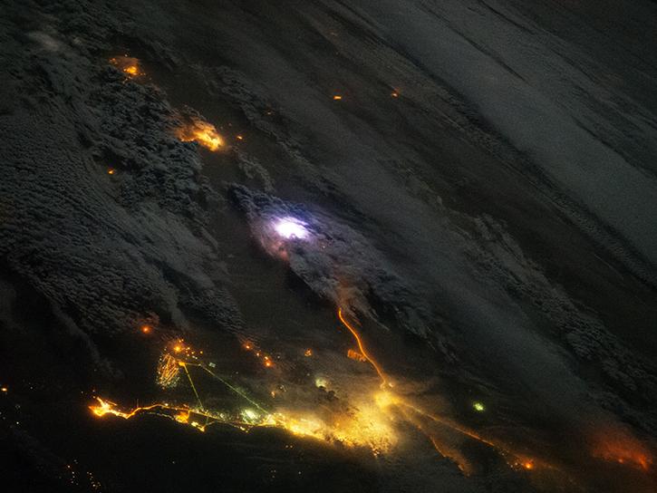
Join us to learn how the new International Space Station (ISS) Lightning Imaging Sensor (LIS) data can be used within Python, GIS and other applications to study lightning that occurred during the 2017 hurricane season.
Webinar
April 20, 2022
Enable your Earth Observing data products to work in applications built on GDAL, such as ArcGIS, QGIS, and Geoserver.We will guide you through this process with an overview of GDAL framework documentation, plug-in construction and certification.
Webinar
April 18, 2022
Learn how NASA’s GES DISC is working to increase access to NASA Earth science data through interoperable GIS image services such as Web maps, StoryMaps, Web applications, and desktop applications including ArcGIS Pro or QGIS. We will also show you how to access the image service through open science frameworks such as Jupyter Notebooks.
Webinar
Dec. 28, 2021
Learn how to use Worldview to explore and visualize NASA Earth science imagery to see hurricanes forming, wildfires spreading, icebergs drifting, and more.
Tutorial
Dec. 1, 2021
SHOWING 8 OF 61