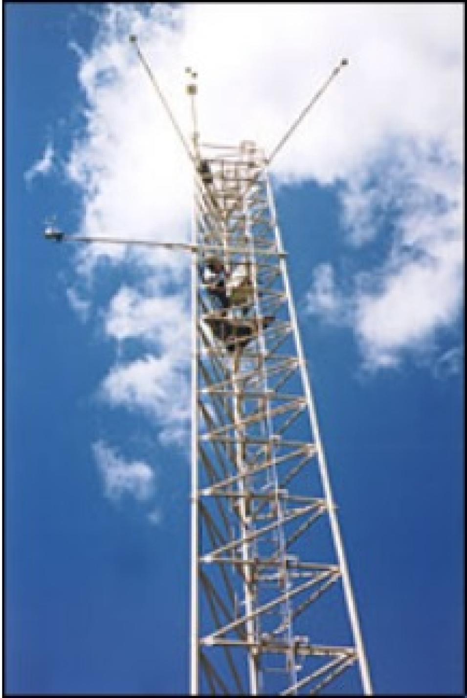
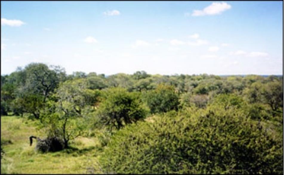
However, because most ground teams don't include remote sensing staff, members are often unfamiliar with using satellite data. "We needed to make MODIS data simple and easy for flux tower ground teams to use," said Running. The MODLAND team members coordinated with the validation community to generate "subsets" of data. Making subsets involved cutting out a portion of data imagery located directly over flux towers and other field sites and providing the data in ASCII (plain text), which is a more accessible format for ground teams.
Site-specific 7 x 7-kilometer ASCII subsets of MODIS data are available from NASA's Oak Ridge National Laboratory Distributed Active Archive Center (ORNL DAAC). NASA's Land Processes DAAC (LP DAAC) distributes larger 200 x 200-kilometer subsets that provide regional data coverage for each tower.
"Providing subsets encourages some of our users. Now they can just download a small collection of data in ASCII format that's relevant to their needs," said Schaaf. For instance, ground teams looking at the Kruger National Park site in South Africa can download a text file of MODIS data pertaining to their site, or look at files specific to other similar savanna sites around the world.
To improve data accessibility, ORNL DAAC also released an online browse tool in August 2004. "We're providing a couple of different ways to visualize the data so that ground teams can compare the MODIS products very easily with results from their field studies," said Bob Cook, a research scientist at ORNL DAAC. Ground teams can now view the 7 x 7-kilometer data subsets as a time series in graphical format. Field campaigns, such as the current Large-Scale Biosphere-Atmosphere Experiment in Amazonia (LBA), also contribute valuable reference data for validation, allowing scientists to obtain more detailed data. According to Nikolay Shabanov, a post-doctoral research associate in the department of geography at Boston University, taking ground measurements of vegetation density from several different biomes helps scientists develop samples of specific biomes against which to compare satellite data.
However, according to Shabanov, "A broadleaf forest in North America is somewhat different from a broadleaf forest in Amazonia, so we sample both areas to provide more accurate validation." Shabanov and his colleagues at Boston University sampled Harvard Forest in North America and used LBA data to compare the same biomes on different continents."We also developed a sampling strategy to scale from field measurements to fine resolution data," said Shabanov. Because field campaigns gather fine resolution data, his team needed to scale the data through a series of steps so they could more accurately compare field data with lower resolution MODIS data.
Morisette credits the MODIS investigators for many of the data improvements. "They're looking at independent reference data to see how their product is doing and using that information to improve it," he said. To incorporate new software fixes, update algorithms, or fill in missing data, investigators periodically reprocess the validation data. The most recent reprocessing, called Collection 4, was completed in 2003. Releasing periodic updates helps scientists and other data users apply the improvements to their current studies. MODIS validation is divided into three stages, with each successive stage indicating an increased level of accuracy. "When users request MODIS data, we like to give them the validation status so that they understand the quality and uncertainty of the data and have an appreciation for its limitations," said Cook. By December 2003, all of the land products had achieved Stage 1 validation.
According to Morisette, achieving Stage 2 validation will require more extensive international collaboration. Morisette, who chairs the land product validation subgroup for the Committee on Earth Observation Satellites (CEOS), hopes to cultivate more international participation for future MODIS validation.
Reliable, validated satellite data are vital for studying the Earth's broad range of unique biomes. By measuring and quantifying land-atmosphere interactions, scientists can better study individual biomes, as well as understand how the Earth's communities collectively interact with the atmosphere on a larger scale.
References
FLUXNET. Accessed February 10, 2004.
MODIS Land Team Validation. Accessed February 10, 2004.
For more information
NASA Land Processes Distributed Active Archive Center (LP DAAC)
NASA Oak Ridge National Laboratory DAAC (ORNL DAAC)
MODIS ASCII Subsets
MODIS Land Team Validation
| About the remote sensing data used |
| Satellite |
Terra and Aqua |
|
| Sensor |
Moderate Resolution Imaging Spectroradiometer (MODIS) |
FLUXNET |
| Parameter |
land-atmosphere exchanges |
land-atmosphere exchanges |
| DAAC |
NASA Land Processes Distributed Active Archive Center (LP DAAC) |
NASA Oak Ridge National Laboratory DAAC (ORNL DAAC) |

