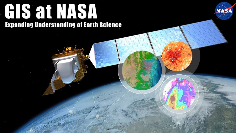
NASA's Goddard Earth Sciences Data and Information Services Center (GES DISC) is working to increase access to NASA Earth science data through interoperable Geographic Information System (GIS) image services, which allow users to access and examine data without having to download data files. This webinar will use the Global Precipitation Measurement mission’s Integrated Multi-satellitE Retrievals for Global Precipitation Measurement (IMERG) Early rainfall data to show users how the image service’s shareable interface works with Web maps, StoryMaps, Web applications, and desktop applications, including ArcGIS Pro or QGIS, and how they can access the image service through open science frameworks such as Jupyter Notebooks.
Interested in receiving announcements for upcoming webinars? To sign-up, send an email to: earthdatawebinars-join@lists.nasa.gov – leave the subject and body of the email blank
To unsubscribe from the list, please send an email to: earthdatawebinars-leave@lists.nasa.gov – leave the subject and body of the email blank
