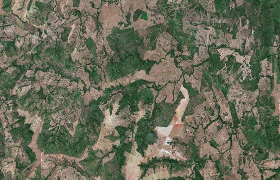
Access to commercial data is a growing need across U.S. federal agencies to advance scientific research and support agency workflows. In supporting the Satellite Needs Working Group (SNWG), NASA also reviews how agency needs submitted during the biennial survey may be met by commercial data access and use. In response, NASA’s Commercial Satellite Data Acquisition (CSDA) Program identifies, evaluates, and acquires commercial satellite data to support the government’s Earth science research and application goals. CSDA also enables Discovery and Access of Commercial Data, an SNWG solution from the 2020 cycle. This solution allows users to discover both NASA and commercial data using the same search tool: NASA’s Earthdata Search.
In support of this solution, eight additional commercial products were recently added to the SNWG Earthdata Search Portal:
- WorldView-1 Level 1B Panchromatic Satellite Imagery
- WorldView-2 Level 1B Panchromatic Satellite Imagery
- WorldView-3 Level 1B Panchromatic Satellite Imagery
- WorldView-4 Level 1B Panchromatic Satellite Imagery
- WorldView-2 Level 2A Multispectral 8-Band Satellite Imagery
- WorldView-3 Level 2A Multispectral 8-Band Satellite Imagery
- GeoEye-1 Level 1B Multispectral 4-Band Satellite Imagery
- GeoEye-1 Level 1B Panchromatic Satellite Imagery
The eight products listed above are an addition to the following commercial data products already available through Earthdata Search:
