TiTiler-CMR was developed under the Data System Evolution (DSE) component of NASA’s Earth Science Data Systems (ESDS) Program, which supports continuous innovation through new technologies, competitive research, and close collaboration with users. Through DSE, the IMPACT project identifies and implements emerging capabilities like TiTiler-CMR to improve access to NASA Earth science data.
Developed in partnership with Development Seed, TiTiler-CMR builds on the capabilities of TiTiler, a library for dynamic tiling. Originally designed for use with Cloud-Optimized GeoTIFFs (COGs), TiTiler generates image tiles (such as PNGs and JPEGs) for placement on a map. TiTiler is considered "dynamic” because the tile server application programming interfaces (APIs), which implement TiTiler, access authoritative source data directly based on a user’s viewing window and generate these image tiles "on-the-fly". TiTiler-CMR's value is due in part to the recent addition of support for cloud-hosted, complex, multidimensional data formats such as NetCDF and HDF5 through integration with the Python-based Xarray library.
The TiTiler-CMR project extends the TiTiler framework by incorporating data search using NASA's CMR API through the earthaccess library. "This tool introduces a flexible and efficient alternative to traditional pre-rendered imagery," said Aimee Barciauskas, a lead developer at Development Seed. "It means less duplication, faster access, and more flexibility for researchers, developers, and the public."
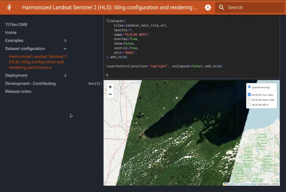
TiTiler-CMR is already deployed in NASA's Visualization, Exploration, and Data Analysis (VEDA) platform using Global Precipitation Measurement's IMERG product and Harmonized Landsat and Sentinel-2 (HLS) data. The team is also testing capabilities for time-series visualization and user-defined band combinations, enhancing customization options.
While powerful, the tool is still evolving. Developers are working to improve scalability, performance, and documentation to facilitate broad usability. One key challenge is handling the quirks and complexity of NASA’s diverse datasets, many of which have nested or hierarchical structures.
"There’s still a lot of work to do," Barciauskas said. "But we believe this approach lowers barriers to access and unlocks new potential for how people engage with NASA data."
As the volume of NASA Earth data accelerates, tools like TiTiler-CMR offer opportunities to be more strategic in developing visualization services for the ESDS Community by enabling broader and more efficient access to our planet’s most critical datasets.
