The desert, like most places on Earth, is governed by microclimates. Just because it started to rain in the Okavango Delta does not necessarily mean the Makgadikgadi pan is green. Beck studied the correlation between the cumulative precipitation in the Okavango Delta and the timing of the greening in the Makgadikgadi pan. “If they
arrive before water is available, they’re in trouble,” Beck said. In most years, the cumulative precipitation in the delta predicts the greening in the Makgadikgadi pan, but there are specific years of drought and intense rain, which are typically El Niño/La Niña years, when those predictions fail. “These years are very hard for them,” Bohrer said. “What they think should work, doesn’t.” 2007 proved to be one of those years. Initial rainfall in late October did not sustain into mid-November, delaying greening until early December. That year, zebra returned to the Okavango Delta, proving their resilience.
“Migrations are under threat everywhere, mostly due to habitat loss and conflict,” said Bartlam-Brooks. In Africa, where different countries establish their own wildlife policies, cooperation for their preservation can prove challenging. But this study brings great hope with it. In areas that were once joined and then broken up, many have said there is no point in reconnecting the lands. “Actually it’s not true,” Bartlam-Brooks said. “You can take down a physical barrier that’s been up for decades, and the animals do reconnect to ancient migratory routes successfully.” Wildlife knows nothing about borders, but now inter-system management across Africa may be able to develop conservation corridors and design routes for migration.
References
Bartlam-Brooks, H. L. A., P. S. A. Beck, G. Bohrer, and S. Harris. 2013. In search of greener pastures: Using satellite images to predict the effects of environmental change on zebra migration. Journal of Geophysical Research: Biogeosciences 118: 1,427–1,437, doi:10.1002/jgrg.20096.
NASA Land Processes DAAC. MODIS NDVI. 2007, 2008. Sioux Falls, South Dakota USA: USGS/Earth Resources Observation and Sciences (EROS) Center.
NASA Goddard Earth Science Data and Information Services Center (GES DISC). TRMM Daily. 2007, 2008. Greenbelt, Maryland USA: NASA GES DISC.
For more information
NASA Land Processes Distributed Active Archive Center (LP DAAC)
NASA Goddard Earth Science Data and Information Services Center (GES DISC)
Moderate Resolution Imaging Spectroradiometer (MODIS)
Tropical Rainfall Measuring Mission (TRMM)
| About the remote sensing data |
|
| Satellites |
Terra and Aqua |
Tropical Rainforest Measuring Mission (TRMM) |
| Sensors |
Moderate Resolution Imaging Spectroradiometer (MODIS) |
TRMM Microwave Imager |
| Data sets |
Normalized Difference Vegetation Index (NDVI) |
TRMM Daily Rainfall |
| Resolution |
16-day cycle |
Daily |
| Parameters |
Normalized Difference Vegetation Index (NDVI) |
Precipitation rate |
| DAACs |
NASA Land Processes Distributed Active Archive Center (LP DAAC) |
NASA Goddard Earth Sciences Data and Information Services Center (GES DISC) |
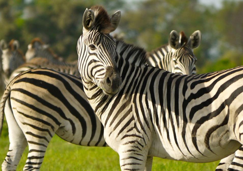
The photograph in the title graphic shows zebras grazing in the Makgadikgadi Pan during the wet season, when waterholes fill up and sprout enticing grasses high in protein and mineral content. A copse of palm trees is visible in the distance, not uncommon in the pan. (Courtesy H. Bartlam-Brooks)
