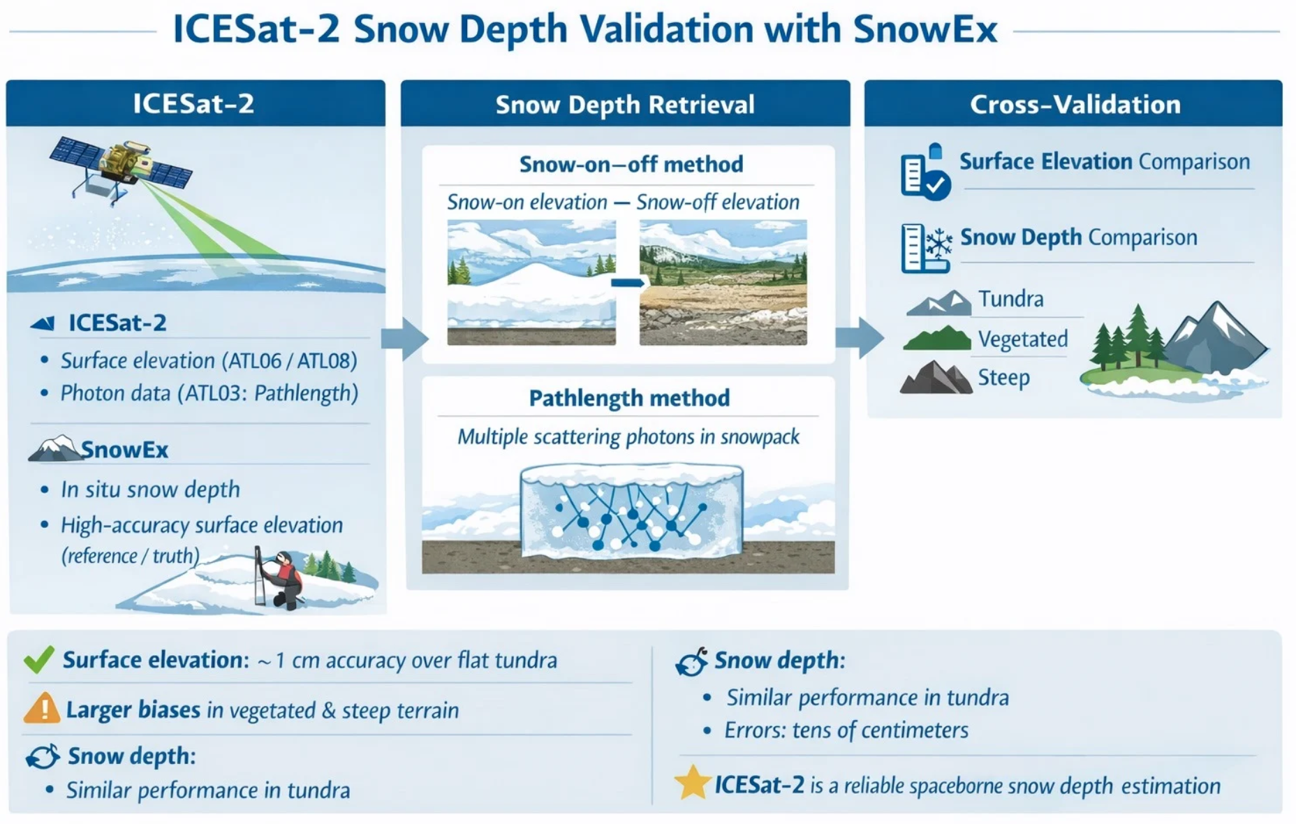
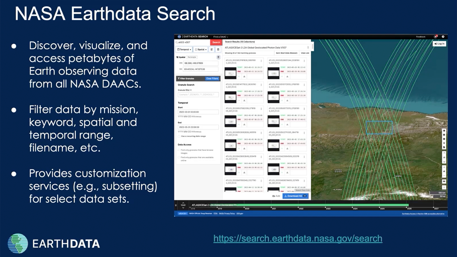
Whether snow is abundant or scarce, scientists, civic leaders, and residents benefit from knowing the depth of snowpack. A recent study—led by NASA scientists and relying upon datasets available from the National Snow and Ice Data Center (NSIDC)—examined the accuracy of satellite data for gauging snow depth. Estimates of snow depth can be used to help derive snow water equivalent: namely, how much liquid water would result from all the snow melting.
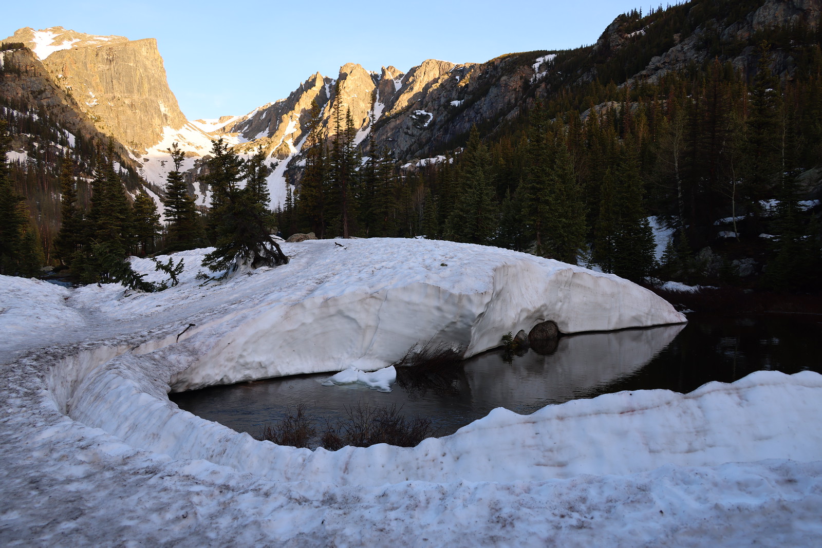
Unfortunately, gauging snow depth is complicated by varied terrain and vegetation. Snow can occupy relatively flat tundra with low-profile plants, deciduous forests on gentle hills, and conifer forests on rugged terrain. It may briefly cling to craggy peaks. Snow can fall at sea level and also a mile or more above it.
Scientists cannot easily reach every place where snow settles, much less take continuous measurements of the entirety of snow cover across the country and the planet. Airborne surveys have occurred for decades, but only in select areas.