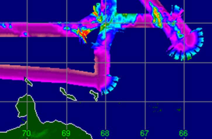
LBR detects emitted radiation in the frequency range of 1-2 GHz in the radio spectrum and have a wavelength range of 30-15 cm.
LAGEOS was the first spacecraft dedicated exclusively to high-precision laser ranging.
LIS is a space-based instrument used to detect the distribution and variability of total lightning (cloud-to-cloud, intra-cloud, and cloud-to-ground lightning). It measures the amount, rate, and radiant energy of lightning.
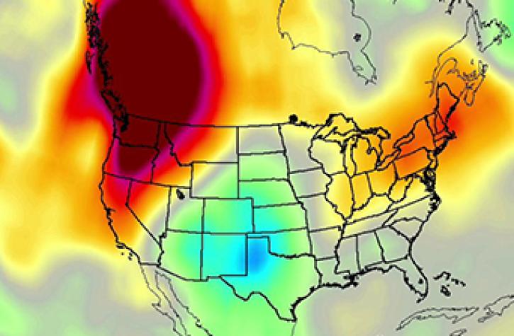
MOPITT is an instrument designed to enhance our knowledge of the lower atmosphere and to observe how it interacts with the land and ocean biospheres.
MLS is a passive microwave radiometer/spectrometer that measures microwave thermal emission from the limb of Earth’s atmosphere to sense vertical profiles of atmospheric gases, temperature, pressure, and cloud ice.
MWR supports the SAR Radar ALtimeter (SRAL) in achieving overall altimeter mission performance by providing wet atmosphere correction.
MODIS collects data in 36 spectral channels with global coverage every 1 to 2 days. Its exceptionally broad spectral range enables MODIS data to be used in studies across numerous disciplines.
MAS supports MODIS remote sensing algorithm development.
MISR views Earth with cameras pointed at nine different angles and acquires data in four wavelengths.
MCoRDS is a multichannel radar used to measure ice sheet thickness and terrain beneath the ice.
MABEL was developed by NASA at the same time as ATLAS to serve as a testbed for ATLAS.
A wide-swath, high-resolution, multi-spectral imaging mission, which samples 13 spectral bands: four at 10 m, six at 20 m and three at 60 m spatial resolution.
NPOL measures radar reflectivity, Doppler velocity, differential reflectivity, correlation, differential phase, rainfall rate, particle size distribution, water contents and precipitation type.
The NISAR L-band SAR will be a side-looking, fully polarimetric, interferometric SAR operating at a wavelength of 24 cm.
The NISAR S-band SAR will operate at a wavelength of 12 cm for use sensing light vegetation.
NISTAR measures the absolute irradiance integrated over the entire sunlit face of Earth to measure Earth’s energy balance.
OLCI is a visible imaging push-broom radiometer with five camera modules that acquire data in 21 spectral bands ranging from 400 to 1200 nm.
An optical spectrometer used to measure properties of light over portions of the electromagnetic spectrum on the PACE mission.
OLI measures in the visible, near infrared, and short wave infrared portions of the spectrum.
OMPS uses three spectrometers to track the health of Earth’s ozone layer and measure the concentration of atmospheric ozone.
OMI uses an imaging spectrometer to distinguish between aerosol types, such as smoke, dust, and sulfates. It measures cloud pressure and coverage, which provides data to derive tropospheric ozone.
PALSAR is an active SAR system that is extremely flexible and provides information for a broad range of science disciplines.
Designed to measure polarized and directional solar radiation that is reflected by land and ocean surfaces as well as the atmosphere in the visible and near-infrared spectrum.