Sensors

Sensors are instruments that collect data about Earth processes or atmospheric components. Along with being carried aboard satellites or aircraft, sensors also can be installed on the ground (in situ). There are two types of sensors: active and passive. Active sensors provide their own source of energy to illuminate the objects they observe; passive sensors detect energy emitted or reflected from the environment. The following list describes sensors aboard NASA and joint NASA missions.

Mapped sea level, wind speed and wave height for more than 95% of Earth's ice-free ocean, provided new insights into ocean circulation, tracked our rising seas and enabled more accurate weather, ocean and climate forecasts.
A dual frequency radar altimeter which measures significant wave height, altimeter range, sigma naught, and ionospheric correction in the Ku (13.575 GHz) and C (5.3 GHz) bands.
Poseidon-4 dual-frequency radar altimeter measures include sea surface height (SSH), significant wave height (Hs), and wind speed.
Was an electronically scanning radar that measured the 3-D rainfall distribution over both land and ocean, and define the layer depth of the precipitation.
SLSTR, on-board Sentinel-3, provides a reference land surface temperature and sea surface temperature dataset for climate data records.
Measured how much chlorophyll was present in the seas and on land.
SeaWinds was a specialized microwave radar that measured near-surface wind velocity and cloud cover over Earth's oceans.
Sentinel-1 C-band SAR supports operational applications in the priority areas of marine monitoring, land monitoring and emergency management services.
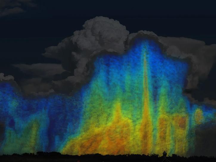
A mobile Doppler weather radar platform.
Used to gather topographic (elevation) data of Earth's surface, SRTM used interferometry.
SMAP's radar allowed the mission's soil moisture and freeze-thaw measurements to be resolved to smaller regions of Earth.
This instrument measures the thickness of snow on top of sea ice, which allows researchers to make more accurate sea ice thickness measurements.
SOLSTICE was an ultraviolet spectrometer that measured the solar spectral irradiance of the total solar disk in the ultraviolet.
Measures atmospheric, ocean and terrain microwave brightness temperatures to provide: sea surface winds, rain rates, cloud water, precipitation, soil moisture, ice edge, ice age.
SIM measures how sunlight is distributed among the ultraviolet, visible, and infrared wavelengths.
A multi-angle polarimeter that measures the intensity, DoLP and AoLP of sunlight reflected back from Earth.
SAGE is a grating spectrometer that measures ultraviolet and visible energy.
An advanced, multispectral scanning, Earth sensor designed to achieve higher image resolution, sharper spectral separation, improved geometric fidelity and greater radiometric accuracy and resolution than the MSS sensor.
TIRS measures land surface temperature in two thermal bands that enables the differentiation of cold spots (such as irrigated vegetation) from warm spots (such as recent burn scars).
Dual frequency radar altimeter that measured altimeter range, significant wave height and ionospheric correction.
TIM tracks variations in the amount of electromagnetic radiation emitted by the Sun.
TOMS measures "total column ozone" under all daytime observing and geophysical conditions. 
TMI is designed to provide quantitative rainfall information by carefully measuring the minute amounts of microwave energy emitted by the Earth and its atmosphere.