We are in the process of migrating all NASA Earth science data sites into Earthdata from now until end of 2026. Not all NASA Earth science data and resources will appear here until then. Thank you for your patience as we make this transition.
Read about the Web Unification Project
Wildfires Learning Resources
Webinars, tutorials, data recipes and more to help you work with Wildfires.
Filters
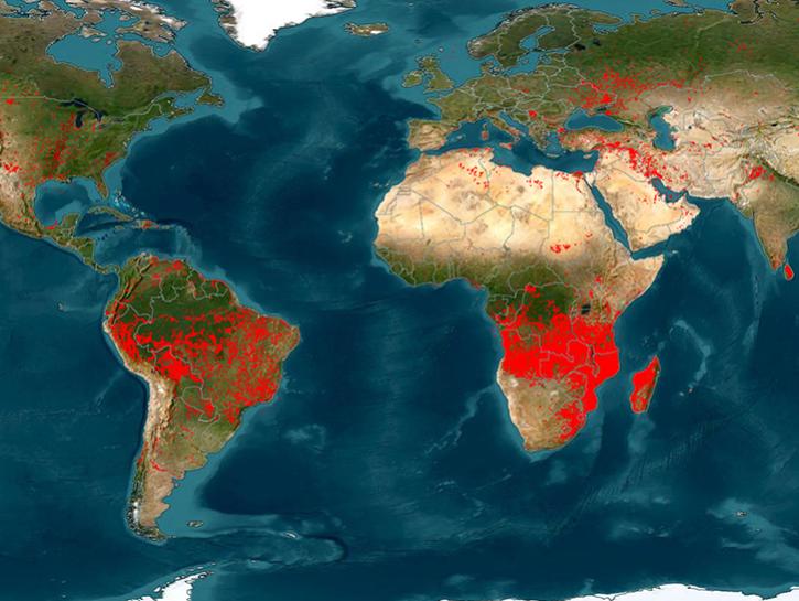
In this video tutorial, learn the basic and advanced features of NASA’s Fire Information for Resource Management System (FIRMS).
Tutorial
Aug. 22, 2024
Learn how to use NASA's Fire Information for Resource Management System (FIRMS) and its enhanced User Interface that provides additional services and analysis capabilities for wildfire management.
Webinar
Sept. 29, 2023
This advanced-level training focuses on using remote sensing observations for monitoring post-fire impacts on watershed health.
Training
July 6-13, 2023
External Resource
Finding
External Resource
Finding
Read publication highlights that detail how ECOSTRESS data reveals water use efficiency patterns, GEDI enables precise forest carbon mapping, and moisture measurements improve wildfire prediction and management.
Data in Action
Aug. 25, 2022
Through NASA FIRMS, users can interactively view fire data via the Fire Map, search for both VIIRS and MODIS active fires/hotspots and sign-up to receive automated Fire Email Alerts for their geographic areas of interest. Join us to learn more!
Webinar
April 19, 2022
Pagination
SHOWING 8 OF 30
Frequently Asked Questions
Earthdata Forum
Our online forum provides a space for users to browse thousands of FAQs about research needs, data, and data applications. You can also submit new questions for our experts to answer.
Submit Questions to Earthdata Forumand View Expert Responses


