We are in the process of migrating all NASA Earth science data sites into Earthdata from now until end of 2026. Not all NASA Earth science data and resources will appear here until then. Thank you for your patience as we make this transition.
Read about the Web Unification Project
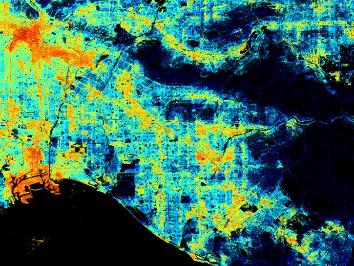
Albedo Data Access and Tools
From discovery to visualization, data tools such as the Clouds and the Earth's Radiant Energy System (CERES) Subset/Visualization Tool, Earthdata Search, and Worldview guide users in making the most of albedo data.
Albedo Datasets
| Dataset | Version Sort ascending | Platforms | Instruments | Temporal Extent | Spatial Extent | Spatial Resolution | Data Format |
|---|---|---|---|---|---|---|---|
| Net Radiation and Albedo from MODIS for Xingu River Basin, Brazil, 2000-2012 | 1 | SATELLITES, COMPUTERS | MODIS, Computer | 2000-02-18 to 2012-11-16 |
N: -9.5717 S: -15.0697 E: -51.2324 W: -55.6935 |
netCDF-4 classic | |
| Earth Radiation Budget Experiment (ERBE) S-4G Nonscanner,Medium Field of View (MFOV) Numerical Filter (NF) Zonal and Global Averages in HDF | 1 | NOAA-10, NOAA-9, ERBS | ERBE | 1984-11-05 to 1990-02-28 | HDF4 | ||
| DISCOVER-AQ Colorado Deployment BAO Tower Ground Site Data | 1 | GROUND STATIONS | CEILOMETERS, MFR | 2014-06-24 to 2014-09-03 | HDF5, ICARTT | ||
| ISLSCP II Historical Croplands Cover, 1700-1992 | 1 | FIELD INVESTIGATION, NOAA-14, Terra | LICOR LEAF AREA METER, STEEL MEASURING TAPE, MODIS, AVHRR | 1700-01-01 to 1992-12-31 |
N: 90 S: -90 E: 180 W: -180 |
Shapefile | |
| Earth Radiation Budget Experiment (ERBE) S-4G Nonscanner,Wide Field of View (WFOV) Shape Factor (SF) 10 degree Zonal and Global Averages in HDF | 1 | NOAA-10, NOAA-9, ERBS | ERBE | 1984-11-05 to 1990-02-28 | HDF4 | ||
| DISCOVER-AQ Texas Deployment Smith Point Ground Site Data | 1 | GROUND STATIONS | MPL, 2B Technologies, 2B Technologies NO Monitor, 2B Technologies NO2 Converter, APS, TSI CPC-3010, MULTIFILTER RADIOMETER, CAPS NO2 Analyzer, TEMPERATURE SENSORS, PRESSURE SENSORS | 2013-08-27 to 2013-09-30 | HDF5, ICARTT | ||
| ARCSIX P-3B Aircraft Research Scanning Polarimeter (RSP) Data | 1 | P-3B | RSP | 2024-05-17 to 2024-08-18 |
N: 86.06 S: 37.68 E: -8.32 W: -105.18 |
HDF5, ICARTT | |
| SAFARI 2000 Meteorological and Flux Tower Measurements in Maun, Botswana, 2000 | 1 | FIXED OBSERVATION STATIONS, FIELD INVESTIGATION | PYRANOMETERS, IRGA, PRESSURE TRANSDUCERS, TEMPERATURE PROBES, RTD, ANEMOMETERS, LICOR QUANTUM SENSOR, RAIN GAUGES, HUMIDITY SENSORS, SOIL MOISTURE PROBE, THERMOMETERS | 2000-02-01 to 2000-09-30 |
N: -19.9 S: -19.9 E: 23.55 W: 23.55 |
Shapefile | |
| Fire Intensity and Burn Severity Metrics for Circumpolar Boreal Forests, 2001-2013 | 1 | COMPUTERS, Terra, Aqua | Computer, MODIS | 2001-01-01 to 2013-12-31 |
N: 80 S: 40 E: 180 W: -180 |
GeoTIFF | |
| Earth Radiation Budget Experiment (ERBE) S-4G Nonscanner,Medium Field of View (MFOV) Shape Factor (SF) 10 degree Regional Averages in HDF | 1 | NOAA-10, NOAA-9, ERBS | ERBE | 1984-11-05 to 1990-02-28 | HDF4 |
SHOWING 10 OF 736
Featured Albedo Observation Method: VIIRS
The Visible Infrared Imaging Radiometer Suite (VIIRS) flies aboard the joint NASA/NOAA Suomi National Polar-orbiting Partnership (Suomi NPP) and NOAA-platforms. VIIRS collects global observations of Earth's land, atmosphere, cryosphere, and ocean, including measurements of albedo.


The Visible Infrared Imaging Radiometer Suite (VIIRS) will help ensure continuity of Earth observations after the upcoming retirement of the Moderate Resolution Imaging Spectroradiometer (MODIS).
Greenbelt, MD
NASA's Land Science Investigator-led Processing System is responsible for processing, reprocessing, production and general assessment of the Suomi NPP Science Team standard and experimental Visible Infrared Imaging Radiometer Suite (VIIRS) land products.
Frequently Asked Questions
Earthdata Forum
Our online forum provides a space for users to browse thousands of FAQs about research needs, data, and data applications. You can also submit new questions for our experts to answer.
Submit Questions to Earthdata Forumand View Expert Responses