We are in the process of migrating all NASA Earth science data sites into Earthdata from now until end of 2026. Not all NASA Earth science data and resources will appear here until then. Thank you for your patience as we make this transition.
Read about the Web Unification Project
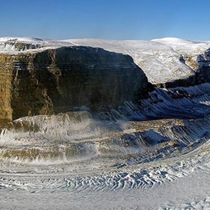
Glacier Striations/Grooves News
Articles, resources, and announcements from Glacier Striations/Grooves.
New maps get to the bottom of Greenland’s outlet glaciers.
Feature Article
Dec. 27, 2020

Image captured on 22 February 2020, by the MODIS instrument, aboard the Aqua satellite.
Worldview Image of the Week
Sept. 11, 2020
SHOWING 2 OF 2