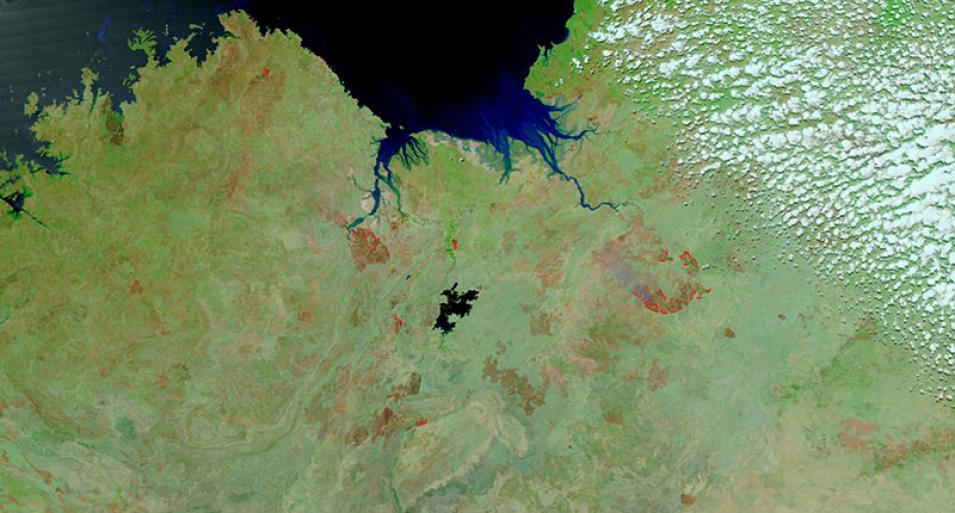
This false-color image shows fires in the Northern Territory and Western Australia, Australia. This image was acquired on 24 September 2018 by the Visible Infrared Imaging Radiometer Suite (VIIRS) instrument, aboard the joint NASA/NOAA Suomi National Polar-orbiting Partnership (Suomi NPP) satellite.
The false-color Corrected Reflectance (Bands M11-I2-I1) image is useful for distinguishing burn scars. Burned areas or fire-affected areas are characterized by deposits of charcoal and ash, removal of vegetation and/or the alteration of vegetation structure.
When bare soil becomes exposed, the brightness in Band I1 may increase, but that may be offset by the presence of black carbon residue; the near infrared (Band I2) will become darker, and Band M11 becomes more reflective. When assigned to red in the image, Band M11 will show burn scars as deep or bright red, depending on the type of vegetation burned, the amount of residue, or the completeness of the burn.
Visit Worldview to visualize near real-time data from NASA's Earth Observing System Data and Information System (EOSDIS).
