Due to the lapse in federal government funding, NASA is not updating this website. We sincerely regret this inconvenience.
AMSR SIPS Learning Resources
Webinars, tutorials, data recipes and more to help you work with AMSR SIPS.
Filters
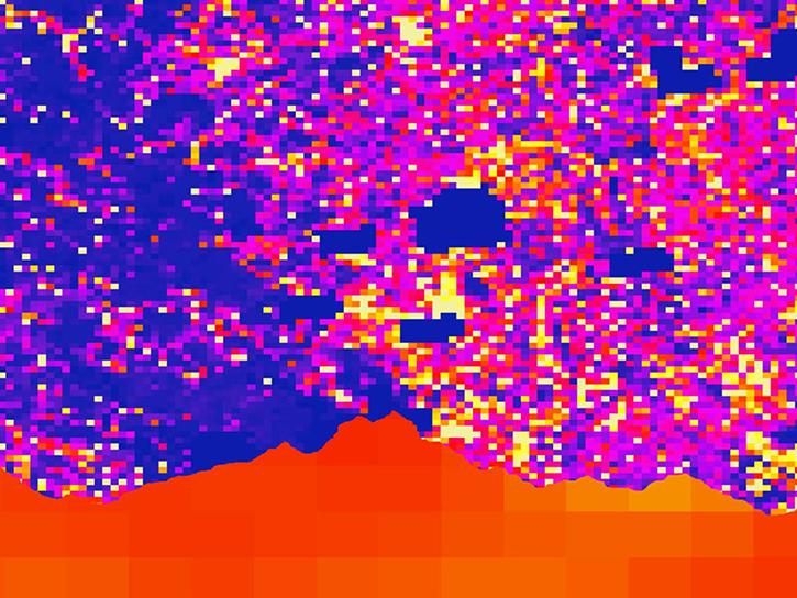
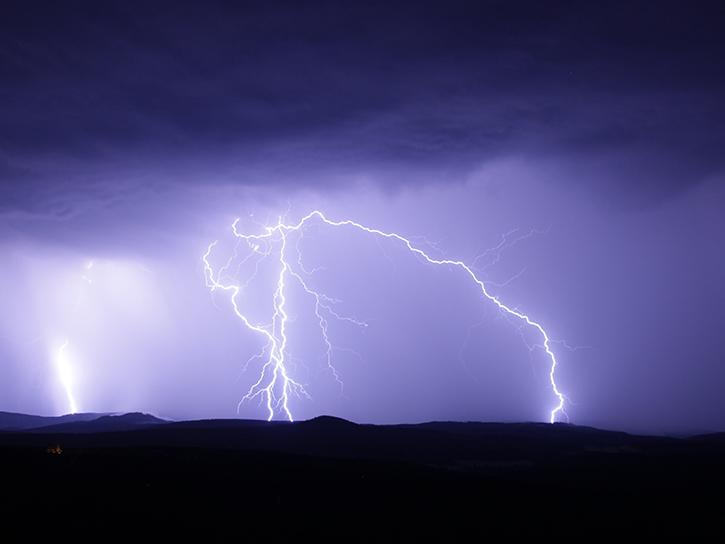
Satellite data shows that communities in western Nepal and northern Bangladesh are at an increased risk for lightning related injury.
Data in Action
June 10, 2019
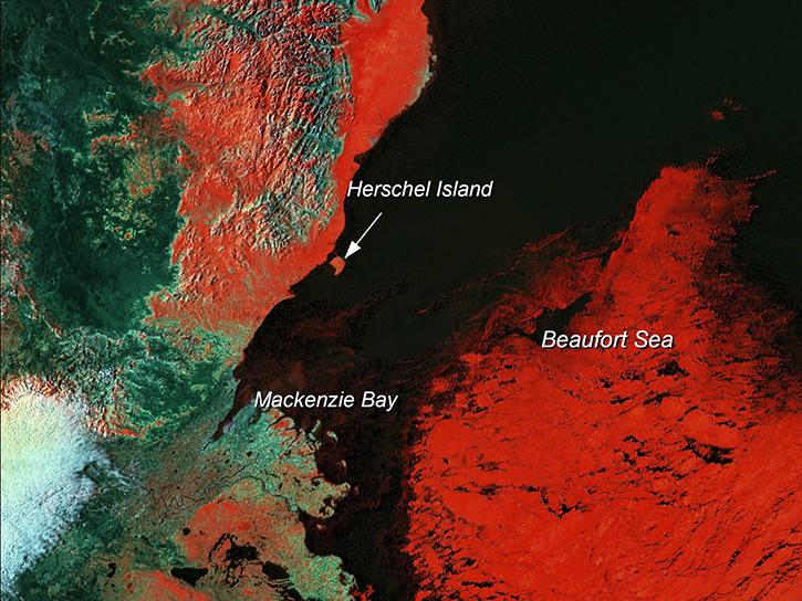
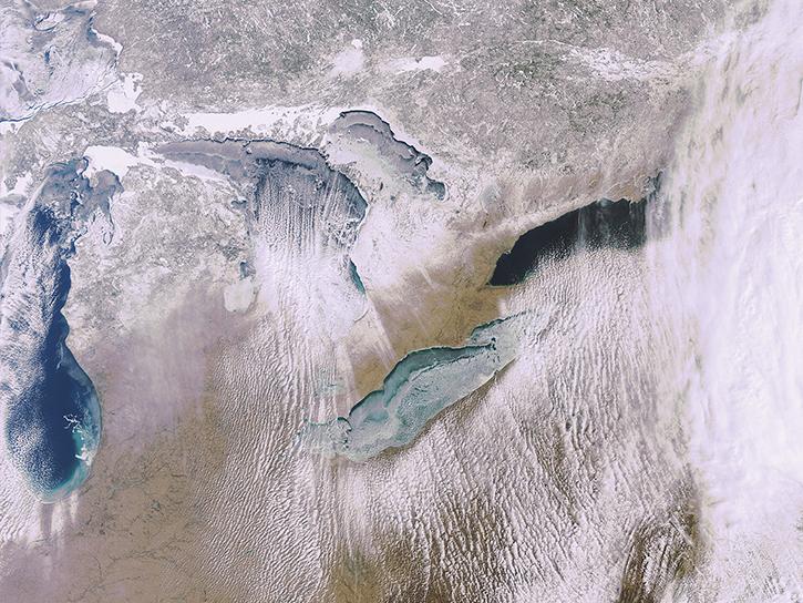
Learn how scientists use remote sensing data to study sea ice patterns to see how changes can influence weather, climate, and animal populations in these regions.
Data in Action
Dec. 6, 2018
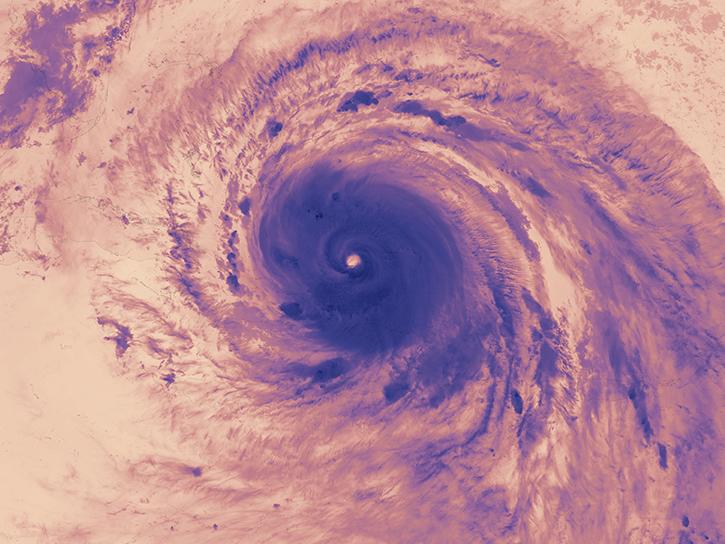
The Hurricane and Severe Storm Sentinel (HS3) field campaign helped researchers identify areas of heavy rain and wind within Ingrid ahead of landfall.
Data in Action
Nov. 15, 2018
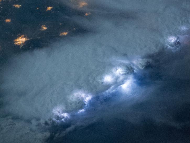
NASA's Lightning Imaging Sensor (LIS) surveyed lightning flashes of all shapes, sizes, and radiances across the tropics.
Data in Action
Oct. 19, 2018
NASA's Global Hydrology Resource Center Distributed Active Archive Center (GHRC DAAC) has released 10 different gridded lightning climatology datasets.
Data in Action
Oct. 19, 2018
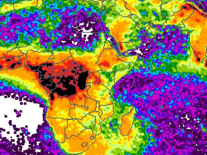
NASA climatology datasets have revealed Lake Maracaibo, Venezuela, as the peak lightning hotspot on Earth.
Data in Action
Oct. 19, 2018
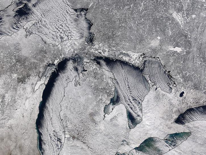
Studying the mechanics of lake effect snow helps researchers better understand water/land contrasts across snowfall bands.
Data in Action
Oct. 19, 2018
What is the 3D structure of falling snow and how does its variability affect remotely sensed retrievals?
Data in Action
Oct. 19, 2018
SHOWING 8 OF 63