Due to the lapse in federal government funding, NASA is not updating this website. We sincerely regret this inconvenience.
AMSR SIPS Learning Resources
Webinars, tutorials, data recipes and more to help you work with AMSR SIPS.
Filters
Visualize lightning flash locations across several user-selected Lightning Imaging Sensor aboard the International Space Station (ISS LIS) swath data files and other processes.
Data Recipe
Jan. 4, 2018
This data recipe shows how to bring gridded netCDF data into ArcMap and create a GeoTIFF file enabling GIS analysis and map making.
Data Recipe
Oct. 10, 2017
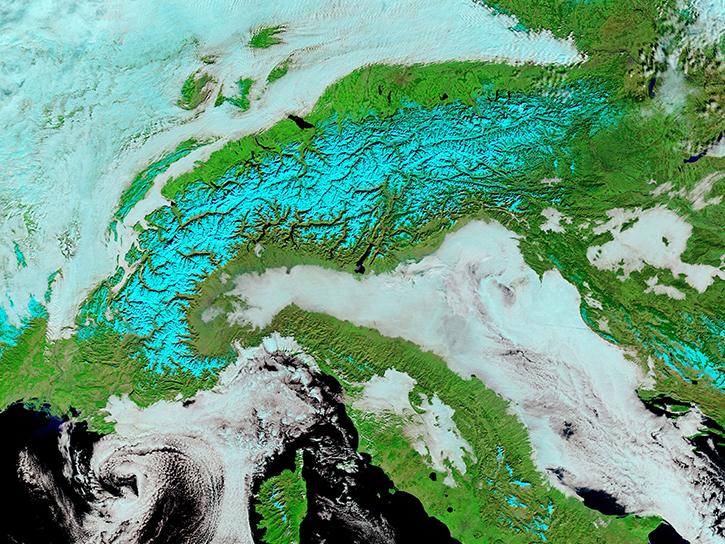
Satellite data from NASA's MODIS instrument illustrates the relationship between snow cover and temperature and the viability of skiing conditions over time.
Data in Action
Feb. 2, 2017
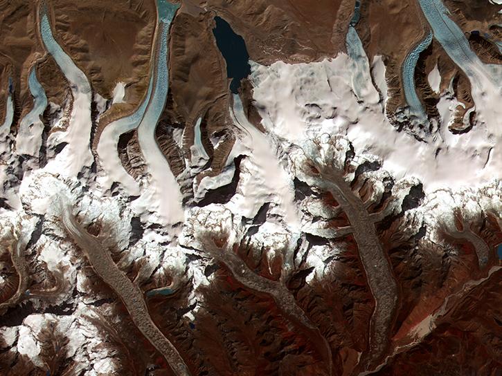
The Global Land Ice Measurements from Space (GLIMS) initiative uses satellite data to track glacier changes, providing vital data for climate and hazard studies.
Data in Action
Dec. 14, 2016
Users can access information about satellites through a representational state transfer (REST) interface provided by NASA's Global Hydrometeorology Resource Center Distributed Active Archive Center (GHRC DAAC).
Tutorial
June 10, 2015
This partial history outlines NASA's unsophisticated activities using shuttle video during the early phases of sprite research.
Data in Action
May 1, 1998
The payload bay TV cameras aboard NASA's space shuttle enabled researchers to study lightning in the stratosphere above thunderstorms.
Data in Action
Aug. 3, 1994
Pagination
SHOWING 7 OF 63


