N: 90 S: -90 E: 180 W: -180
TABLE OF CONTENTS
Description
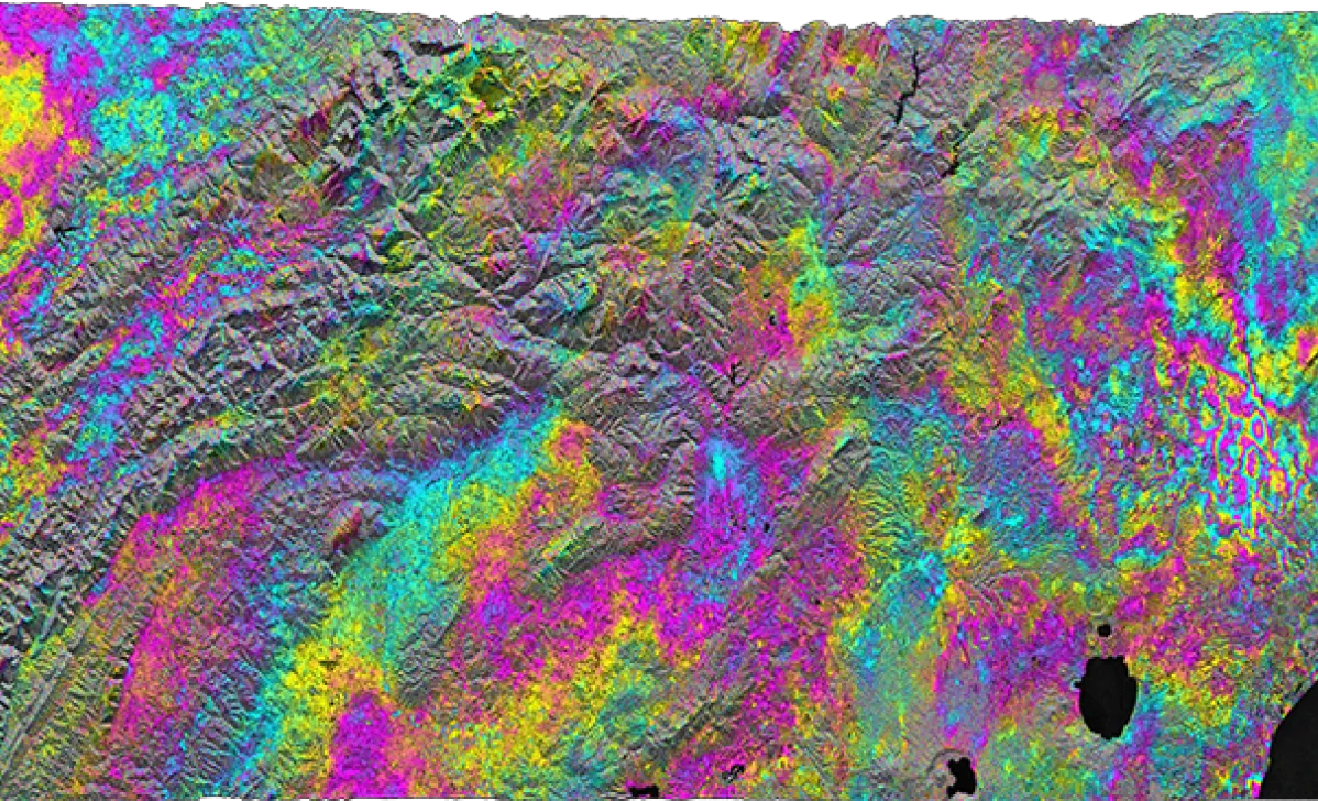
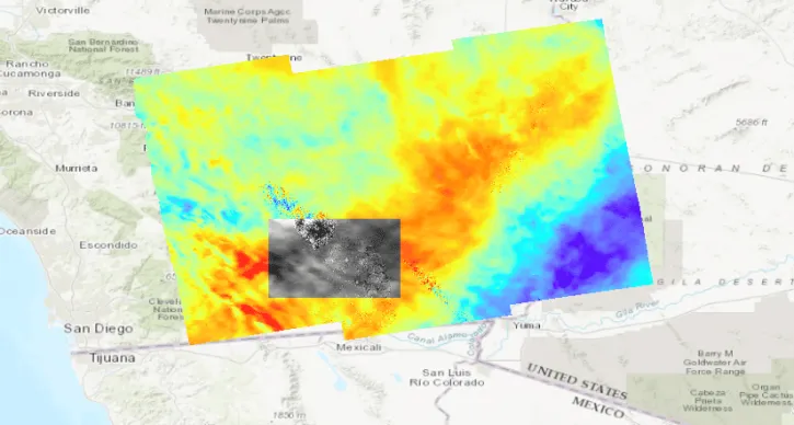
Level-2 interferometric products generated by the Jet Propulsion Lab (JPL) ARIA project. The creation, discovery, and distribution of these products support InSAR science around tectonically active regions, volcanoes, or areas of subsidence/uplift. The generation of the ARIA-S1-GUNW products was in part funded through collaborations with the AWS Open Data Program and NASA ROSES.
Product Summary
Platforms
Instruments
C-SAR
Spatial Extent
Coordinate System
CARTESIAN
Granule Spatial Representation
GEODETIC
Temporal Extent
2014-06-15 to Present
Data Partner
Jet Propulsion Laboratory, NASA (NASA/JPL)
,
Alaska Satellite Facility (ASF)
Concept ID
C2859376221-ASF
Data State
ACTIVE
Number of Files/Granules
470047
Processing Level
2
Science Keywords
Additional Citation
Buzzanga, Brett, et al. “Toward sustained monitoring of subsidence at the coast using InSAR and GPS: An application in Hampton Roads, Virginia.” Geophysical Research Letters 47.18 (2020): e2020GL090013
TABLE OF CONTENTS
Documents
SCIENCE DATA PRODUCT SOFTWARE DOCUMENTATION
PRODUCT USAGE
Dataset Resources
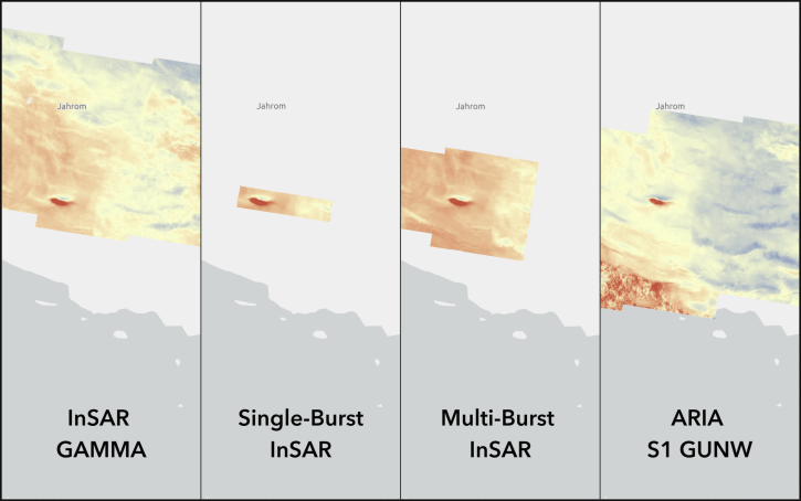
Compare the different Sentinel-1 InSAR products available On Demand from NASA's Alaska Satellite Facility Distributed Active Archive Center (ASF DAAC).
StoryMap
June 4, 2026
Users can now generate on-demand interferograms for more than a million ARIA-S1-GUNW products.
News
Nov. 14, 2025
This data recipe provides steps to construct a Harmony request URL to find S-1 InSAR data and perform subsetting using the GDAL Subsetter.
Data Recipe
Oct. 2, 2024
NASA's Jet Propulsion Laboratory (JPL)/CalTech Advanced Rapid Imaging and Analysis (ARIA) Project utilizes Synthetic Aperture Radar (SAR) data and Global Positioning System (GPS) for detecting and measuring ground deformation and creating predictive models.
News
May 31, 2023
SHOWING 4 OF 4
Get Help
QUESTIONS & SUPPORT
Have a question?
Get help with NASA Earth science data, datasets, tools, services, and metadata on the Earthdata Forum. Experienced staff in the data user community review and answer questions.
Get help on Earthdata ForumEarthdata
Forum
Forum