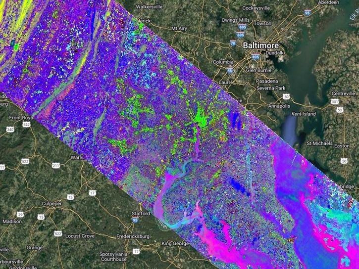
The Earth Surface Mineral Dust Source Investigation (EMIT) instrument measures surface mineralogy, targeting the Earth’s arid dust source regions. EMIT is installed on the International Space Station (ISS) and uses imaging spectroscopy to take mineralogical measurements of the sunlit regions of interest between 52° N latitude and 52° S latitude. An interactive map showing the regions being investigated, current and forecasted data coverage, and additional data resources can be found on the VSWIR Imaging Spectroscopy Interface for Open Science (VISIONS) EMIT Open Data Portal.
The EMIT Level 2B Estimated Mineral Identification and Band Depth and Uncertainty (EMITL2BMIN) Version 1 data product provides estimated mineral identification and band depths in a spatially raw, non-orthocorrected format. Each EMITL2BMIN granule contains two Network Common Data Format 4 (NetCDF4) files at a spatial resolution of 60 meters (m): Mineral Identification (EMIT_L2B_MIN) and Mineral Uncertainty (EMIT_L2B_MINUNCERT). The EMIT_L2B_MIN file contains the band depth (the depth of the identified spectral feature) and the identified mineral for each pixel. Two spectral groups, which correspond to different regions of the spectra, are identified independently and often co-occur. These estimates are generated using the Tetracorder system (code) and are based on EMITL2ARFL reflectance values. The EMIT_L2B_MINUNCERT file provides band depth uncertainty estimates calculated using surface Reflectance Uncertainty values from the EMITL2ARFL data product. The band depth uncertainties are presented as standard deviations. The fit score for each mineral identification is also provided as the coefficient of determination (r-squared) of the match between the continuum normalized library reference and the continuum normalized observed spectrum. Associated metadata indicates the name and reference information for each identified mineral, and additional information about aggregating minerals into different categories is available in the emit-sds-l2b repository and will be available as subsequent data products.
The EMITL2BMIN data product includes a total of 19 Science Dataset (SDS) layers. There are four layers for each of the Spectral Groups (Group 1 and Group 2): Mineral Identification, Band Depth, Band Depth Uncertainties, and Fit Score. Additional layers consist of geometric lookup table (GLT) x values, GLT y values, latitude, longitude, elevation, associated spectral library record, mineral name, URL for the spectral library description, spectral group, spectral library, and spectral group index. A browse image with Group 1 Band Depth, Group 2 Band Depth, Group 1 Band Depth Uncertainty, and Group 2 Band Depth Uncertainty is also included.
Each granule is approximately 75 kilometers (km) by 75 km, nominal at the equator, with some granules at the end of an orbit segment reaching 150 km in length.
Disclaimer
This product is generated to support the EMIT mission objectives of constraining the sign of dust related radiative forcing. Ten mineral types are the core focus of this work: calcite, chlorite, dolomite, goethite, gypsum, hematite, illite+muscovite, kaolinite, montmorillonite, and vermiculite. A future product will aggregate these results for use in Earth System Models. Additional minerals are included in this product for transparency but were not the focus of this product. Further validation is required to use these additional mineral maps, particularly in the case of resource exploration. Similarly, the separation of minerals with similar spectral features, such as a fine-grained goethite and hematite, is an area of active research. The results presented here are an initial offering, but the precise categorization is likely to evolve over time, and the limits of what can and cannot be separated on the global scale is still being explored. The user is encouraged to read the Algorithm Theoretical Basis Document (ATBD) for more details.
Known Issues
- Data acquisition gap: From September 13, 2022, through January 6, 2023, a power issue outside of EMIT caused a pause in operations. Due to this shutdown, no data were acquired during that timeframe.