EPIC Resources

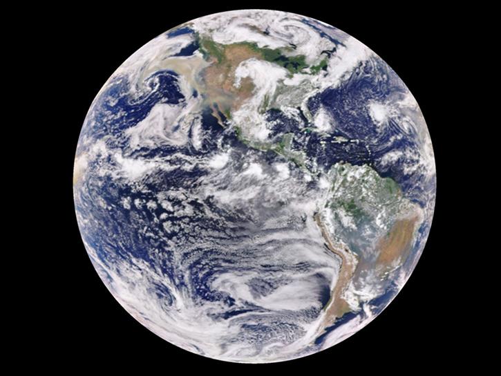
Read the latest news about Earth Polychromatic Imaging Camera (EPIC) and access learning resources designed to help you optimize your Earth science research.

EPIC Learning Resources

Filters

How to Access DSCOVR_EPIC_L4_TO3 Data using OPeNDAP with Python3 and Calculate Daily Statistics from Instantaneous Data

Demonstrates how to remotely access the Deep Space Climate Observatory (DSCOVR) L4 instantaneous total ozone column data files via OPeNDAP, and then analyze the data by resampling instantaneous data into daily averages.
External Resource
Jupyter Notebook
April 10, 2026

How to Access DSCOVR_EPIC_L2_TO3 Data using OPeNDAP with Python3 and Calculate Daily Statistics from Instantaneous Data

Demonstrates how to remotely access the Deep Space Climate Observatory (DSCOVR) L2 instantaneous total ozone column data files via OPeNDAP, and then analyze the data by resampling instantaneous data into daily averages.
External Resource
Jupyter Notebook
April 10, 2026

Comparison of TEMPO UVAI vs DSCOVR EPIC UVAI

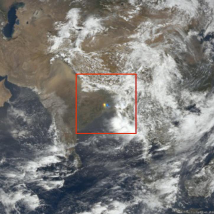
This notebook illustrates a comparison of ultra-violet aerosol index (UVAI) between the Tropospheric Emissions: Monitoring of Pollution (TEMPO) instrument and DSCOVR EPIC UVAI.
External Resource
Jupyter Notebook
April 10, 2026
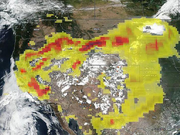
The CALIPSO satellite and the Earth Polychromatic Imaging Camera (EPIC) on NOAA’s DSCOVR satellite collected valuable data on one of the worst fires and fire seasons in California history.
Data in Action
Nov. 16, 2020
SHOWING 5 OF 5

EPIC News

Filters
NASA researchers and data offer new insights into the impish and interesting visual phenomenon of sunglint in satellite imagery.
Feature Article
June 25, 2024
SHOWING 4 OF 4

Get Help

QUESTIONS & SUPPORT

Have a question?

Get help with NASA Earth science data, datasets, tools, services, and metadata on the Earthdata Forum. Experienced staff in the data user community review and answer questions.

Get help on Earthdata Forum
Earthdata
Forum