L-SAR Resources

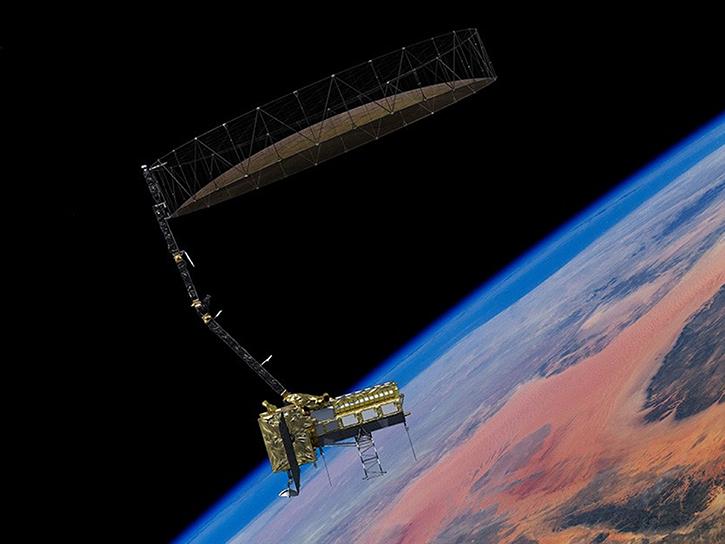
Earthdata resources for users working with the data provided by the L-band synthetic aperture radar (L-SAR) aboard the NASA/Indian Space Research Organization SAR (NISAR) platform include tutorials and other learning resources, news announcements such as instrument updates and data releases, user guides and related documents, and frequently asked questions.

L-SAR Learning Resources

Filters
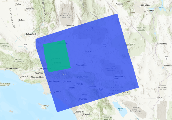
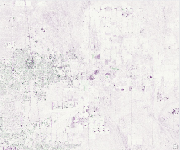
Methods for reducing the spatial extent of NISAR products using data from NASA's Alaska Satellite Facility Distributed Active Archive Center (ASF DAAC).
StoryMap
June 4, 2026
Esta capacitación de ARSET ofrece una introducción a la misión NISAR, enfocándose en las características de la misión y sus datos, así como en la demostración de flujos de trabajo para el acceso, la visualización y el análisis de datos para una variedad de aplicaciones.
Training
July 2-16, 2026
Our Earth Data Officer, Katie Baynes, spoke at the Federal GIS Conference Plenary. In case you missed her presentation, here is a story map for you to catch up on how NASA Earth data can be leveraged in your GIS project.
StoryMap
March 5, 2025
SHOWING 8 OF 23

L-SAR News

Filters
SHOWING 4 OF 33

Get Help

QUESTIONS & SUPPORT

Have a question?

Get help with NASA Earth science data, datasets, tools, services, and metadata on the Earthdata Forum. Experienced staff in the data user community review and answer questions.

Get help on Earthdata Forum
Earthdata
Forum