We are in the process of migrating all NASA Earth science data sites into Earthdata from now until end of 2026. Not all NASA Earth science data and resources will appear here until then. Thank you for your patience as we make this transition.
Read about the Web Unification Project
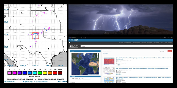
LIS Resources
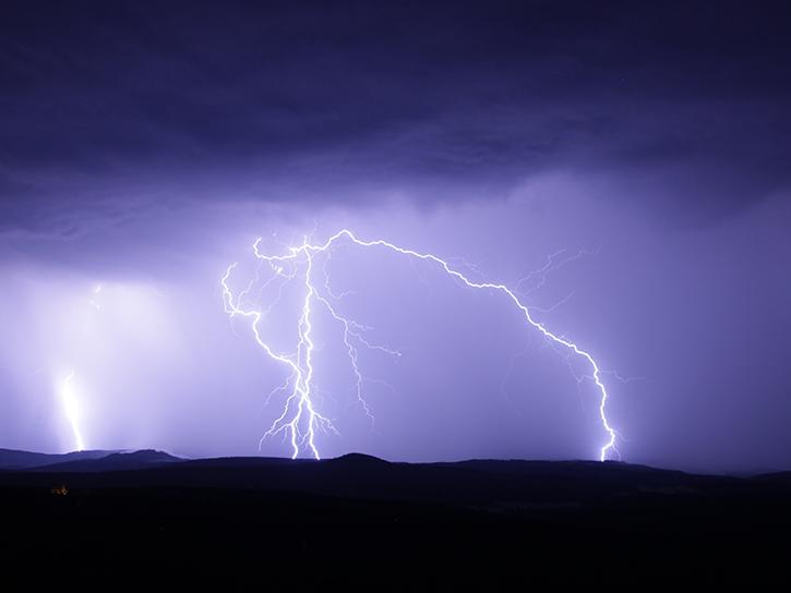
Read the latest Lightning Imaging Sensor (LIS) news and access learning resources designed to help you optimize your Earth science research.
LIS Learning Resources
Join us May 3 at 2 p.m., EDT [UTC -4], to learn how to use the Lightning Dashboard at NASA's Global Hydrometeorology Resource Center Distributed Active Archive Center (GHRC DAAC) to visualize and analyze NASA's lightning data.
Webinar
April 26, 2023
Join us to learn how the new International Space Station (ISS) Lightning Imaging Sensor (LIS) data can be used within Python, GIS and other applications to study lightning that occurred during the 2017 hurricane season.
Webinar
April 20, 2022

LANCE near real-time products enable the management of ongoing events; standard data products are heavily processed and intended for scientific research.
Data Basics
July 15, 2021
Join us to learn about the importance of lightning observations- for seasonal and long-term trends in lightning activity. We will focus on data and applications from the International Space Station's (ISS) Lightning Imaging Sensor (LIS) instrument.
Webinar
April 20, 2021
Satellite data shows that communities in western Nepal and northern Bangladesh are at an increased risk for lightning related injury.
Data in Action
June 10, 2019
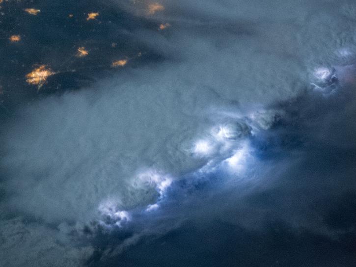
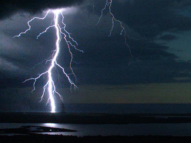
NASA's Lightning Imaging Sensor (LIS) surveyed lightning flashes of all shapes, sizes, and radiances across the tropics.
Data in Action
Oct. 19, 2018
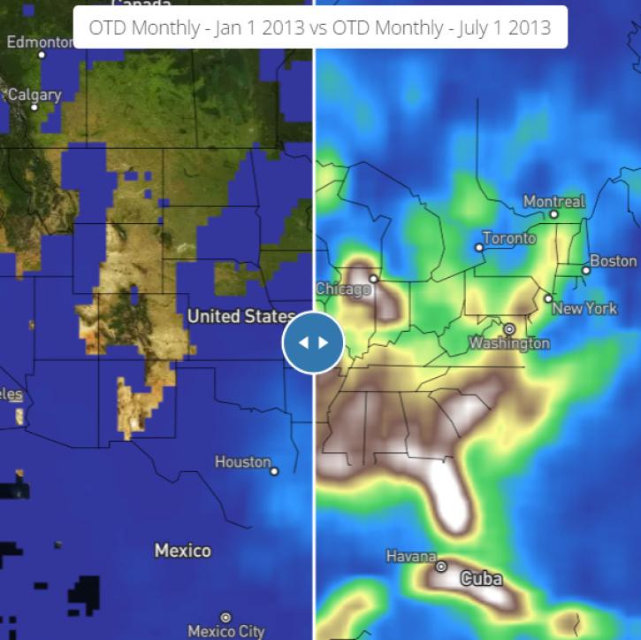
NASA's Global Hydrology Resource Center Distributed Active Archive Center (GHRC DAAC) has released 10 different gridded lightning climatology datasets.
Data in Action
Oct. 19, 2018
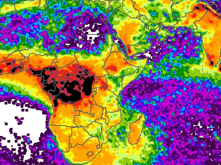
NASA climatology datasets have revealed Lake Maracaibo, Venezuela, as the peak lightning hotspot on Earth.
Data in Action
Oct. 19, 2018
SHOWING 8 OF 10
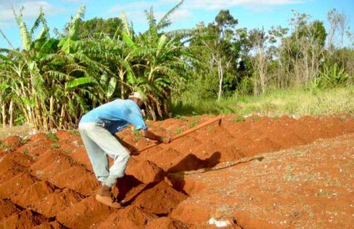
Local knowledge plus satellites may help farmers catch a crop.
Feature Article
Dec. 28, 2020

Who Uses NASA Earth Science Data? John Lehrter, to study the water quality of estuarine and coastal environments
Data User Story
Dec. 22, 2020
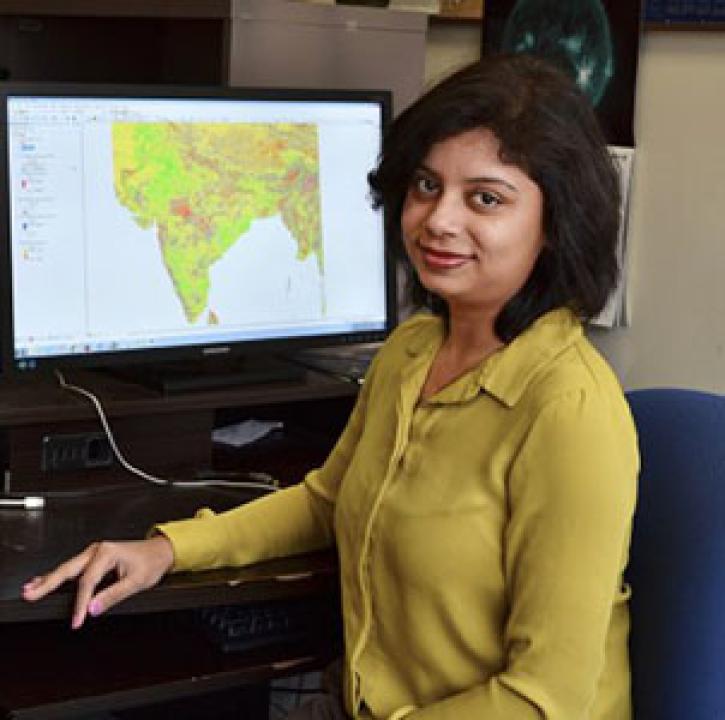
Who uses NASA Earth science data? Dr. Pinki Mondal, to study the effects of climate change on agricultural systems and communities.
Data User Story
Dec. 22, 2020

Who uses NASA Earth science data? Dr. Brian Mapes, to study large-scale weather and climate processes.
Data User Story
Dec. 22, 2020
SHOWING 4 OF 25
Frequently Asked Questions
Earthdata Forum
Our online forum provides a space for users to browse thousands of FAQs about research needs, data, and data applications. You can also submit new questions for our experts to answer.
Submit Questions to Earthdata Forumand View Expert Responses