Discover related stories to the Multi-angle Imaging SpectroRadiometer (MISR) instrument.
MISR Resources
Table of contents
MISR Learning Resources
The virtual Terra, Aqua, Aura Drifting Orbits Workshop takes place Nov 1-2, 2022, from 10 a.m. to 6 p.m., EDT [UTC -4], each day. The workshop is free and registration is open to the public.
Webinar
Oct. 25, 2022
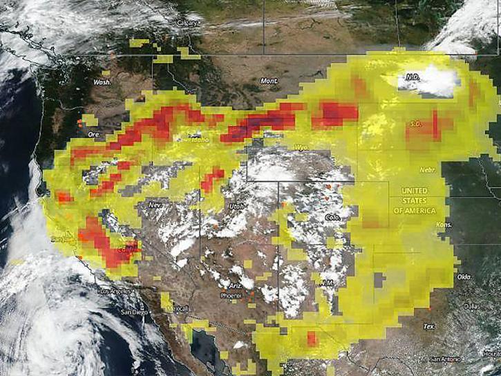
MISR's aerosol amount, particle type, aerosol plume height, and associated wind vector data were contributed to CalFiDE's dataset.
Data in Action
Sept. 30, 2022
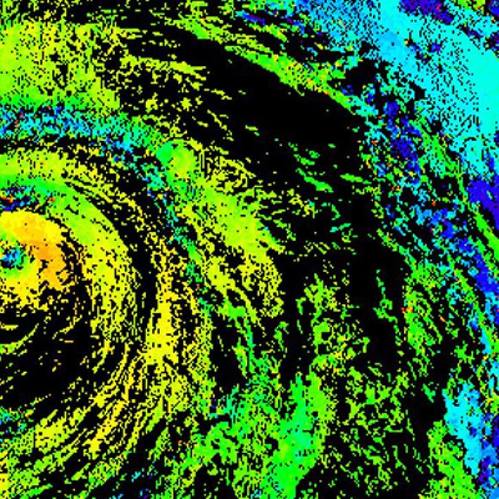
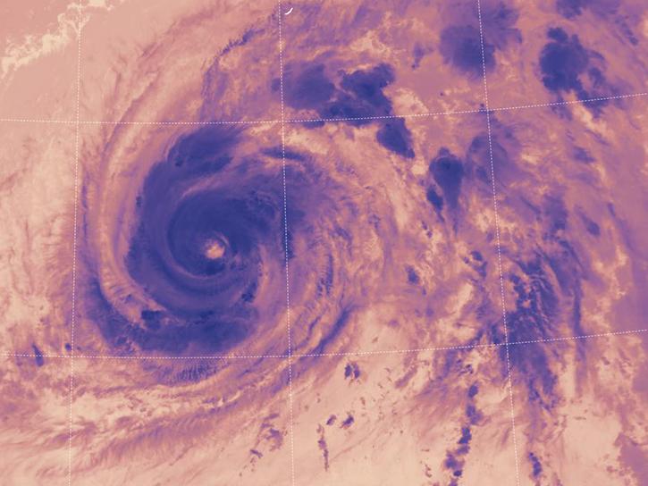
Near real-time monitoring of tropical storms and observations of previous hurricanes.
StoryMap
April 28, 2022
LANCE near real-time products enable the management of ongoing events; standard data products are heavily processed and intended for scientific research.
Data Basics
July 15, 2021
The CALIPSO satellite and the Earth Polychromatic Imaging Camera (EPIC) on NOAA’s DSCOVR satellite collected valuable data on one of the worst fires and fire seasons in California history.
Data in Action
Nov. 16, 2020
This study analyzes 23,000 globally distributed wildfire smoke plume injection heights from MISR, stratified by region, biome, and month or season.
Data in Action
Oct. 10, 2018
This ARSET training provides an overview of the remote sensing process, data products, and their use in air quality applications.
Training
July 6 - Aug. 3, 2016
SHOWING 8 OF 8
In computer models that simulate Earth’s atmosphere, scientists evaluated their upgraded cloud simulation capabilities against satellite observations.
Feature Article
Jan. 27, 2026
A summary of datasets, products, and resources released by NASA’s Distributed Active Archive Centers (DAACs) in November 2023.
News
Dec. 5, 2023
NASA Earth science data help scientists like Dr. James G. Allen develop processes for better satellite retrievals of ocean parameters.
Data User Story
Nov. 30, 2023
MISR L1 and L2 Product Generation Resumes with New Data Product Format
News
Nov. 6, 2023
Get Help
QUESTIONS & SUPPORT
Have a question?
Get help with NASA Earth science data, datasets, tools, services, and metadata on the Earthdata Forum. Experienced staff in the data user community review and answer questions.
Get help on Earthdata ForumEarthdata
Forum
Forum