We are in the process of migrating all NASA Earth science data sites into Earthdata from now until end of 2026. Not all NASA Earth science data and resources will appear here until then. Thank you for your patience as we make this transition.
Read about the Web Unification Project
MODIS Resources
Earthdata resources for users working with NASA’s Moderate Resolution Imaging Spectroradiometer (MODIS) data include tutorials and other learning resources, news announcements such as instrument updates and data releases, user guides and related documents, and frequently asked questions.
MODIS Learning Resources

This three-part ARSET training covers flood monitoring via remote sensing, NASA flood products, and GEOGLOWS streamflow predictions.
Training
June 18-25, 2026

This ARSET training explores the fundamentals of thermal infrared remote sensing and some applications using ECOSTRESS data to analyze urban heat.
Training
May 26 - June 2, 2026

This ARSET training covers how to acquire, use, and derive NDVI imagery from Landsat and MODIS.
Training
Feb. 10 - March 2, 2016

This ARSET training introduces participants to several capabilities within FIRMS that were not included in the previous ARSET training.
Training
Jan. 14-21, 2026
This ARSET training covers general approaches to apply satellite remote sensing data when studying or forecasting climate-sensitive infectious diseases.
Training
Oct. 7-9, 2025

Join us on Wed., September 17, 2025, at 2:00 p.m. EDT (-04:00 UTC) to learn how to discover, access, and use NASA's near real-time global flood products .
Webinar
Aug. 29, 2025

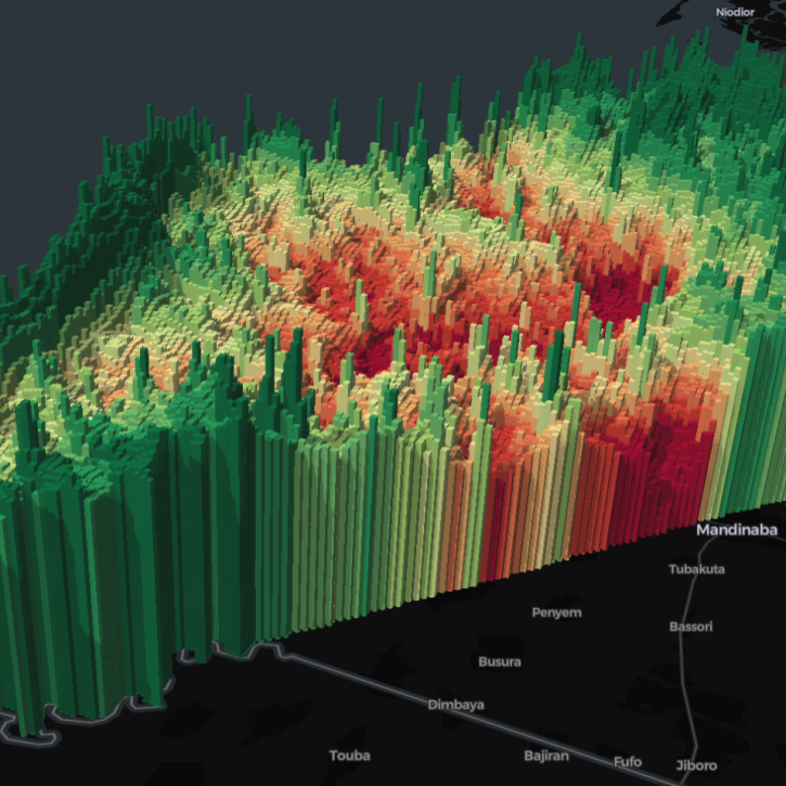
The MODIS Near Real-Time (NRT) Global Flood Product helps communities assess the aftermath of flooding in Australia.
Data in Action
July 17, 2025

Join NASA’s LAADS DAAC to learn how new tools available through Harmony services help users work with Level-1 and atmospheric datasets more efficiently.
Webinar
July 16, 2025
SHOWING 8 OF 222
Five international teams took home top honors in a challenge to use open data to create visualizations highlighting the themes of zero hunger, clean water, and climate action.
News
April 12, 2024

A summary of datasets, products, and resources released by NASA’s Distributed Active Archive Centers (DAACs) in March 2024.
News
April 3, 2024

The Geostationary Earth Orbit (GEO) – Low-Earth Orbit (LEO) Dark Target Aerosol product suite enables users to track rapid changes and movements in smoke and dust plumes that can severely impact air quality.
News
March 19, 2024
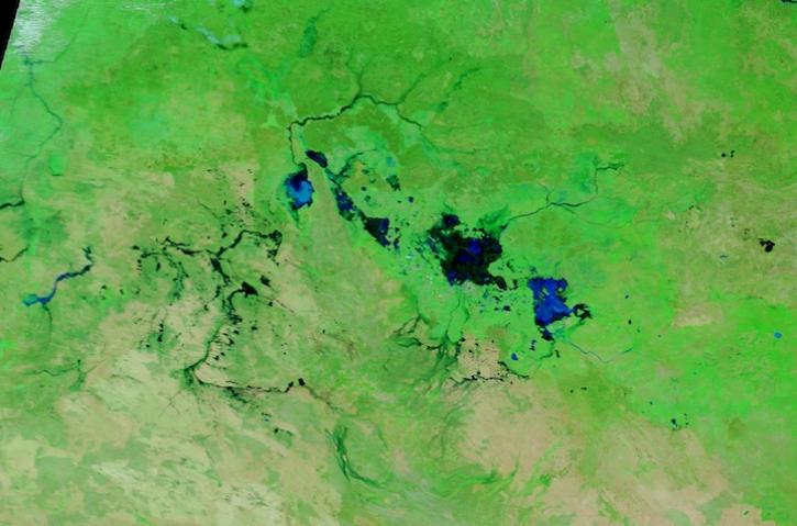
Image captured March 13, 2024, by the MODIS instrument aboard NASA's Terra satellite.
Worldview Image of the Week
March 14, 2024
SHOWING 4 OF 526
Frequently Asked Questions
Earthdata Forum
Our online forum provides a space for users to browse thousands of FAQs about research needs, data, and data applications. You can also submit new questions for our experts to answer.
Submit Questions to Earthdata Forumand View Expert Responses