VIRS Resources

Earthdata resources for users working with NASA’s Visible and Infrared Scanner (VIRS) data include tutorials and other learning resources, news announcements such as instrument updates and data releases, user guides and related documents, and frequently asked questions.

VIRS Learning Resources

Filters
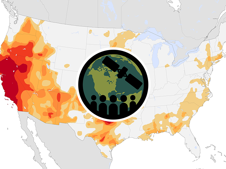
This ARSET training provides an overview of drought classification and web-based tools for drought monitoring and visualization.
Training
July 12-19, 2017
SHOWING 4 OF 4

VIRS News

Filters
Who uses NASA Earth science data? Dr. Charles Ichoku, to study the global and regional impacts of fires in Northern Sub-Saharan Africa.
Data User Story
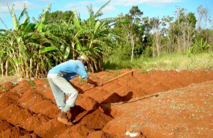
Local knowledge plus satellites may help farmers catch a crop.
Feature Article
Dec. 28, 2020
SHOWING 4 OF 8

Get Help

QUESTIONS & SUPPORT

Have a question?

Get help with NASA Earth science data, datasets, tools, services, and metadata on the Earthdata Forum. Experienced staff in the data user community review and answer questions.

Get help on Earthdata Forum
Earthdata
Forum