Delivery of Suomi National Polar-orbiting Partnership (Suomi NPP) satellite data products will cease on November 1, 2026. Data users should transition now to alternative products from NOAA-21 and NOAA-20.
Suomi NPP data announcement
ALOS Resources
ALOS Documents
| Name Sort descending | Description | File Type | Date Published | |
|---|---|---|---|---|
| ALOS Data Users Handbook | ALOS Data Users Handbook, October 2006 by Earth Observation Research and Application Center of the Japan Aerospace Exploration Agency | PDF (31.11 mb) | Oct. 26, 2006 | |
| ALOS Data Users Handbook - Revision C | ALOS Data Users Handbook, Revision C, March 2008 by Earth Observation Research and Application Center of the Japan Aerospace Exploration Agency |
PDF (1.85 mb) | March 15, 2008 | |
| ALOS/PALSAR Level 1.1/1.5 product Format description - English Version, Earth Observation Research Center, Japan Aerospace Exploration Agency | ALOS/PALSAR Level 1.1/1.5 product Format description - English Version, Earth Observation Research Center, Japan Aerospace Exploration Agency |
PDF (591.3 kb) | July 21, 2009 | |
| ASF-SAR-ALOS-PALSAR-RTC-User-Guide.pdf | User Guide for the ASF ALOS PALSAR Radiometric Terrain Correction (RTC) products | PDF (361.48 kb) | Oct. 19, 2024 | |
| Calibration Result of JAXA standard products (As of July 1, 2009) PRISM Level 1B2 data products | Calibration Result of JAXA standard products (As of July 1, 2009) PRISM Level 1B2 data products | PDF (54.71 kb) | July 1, 2009 | |
| Calibration Result of JAXA standard products (As of March 29, 2007), PRISM Level 1B2 data products | Calibration Result of JAXA standard products (As of March 29, 2007), PRISM Level 1B2 data products | PDF (39.85 kb) | March 29, 2007 | |
| Calibration Result of JAXA standard products (As of Sep. 6, 2011) ALOS-2 and ALOS-3. PRISM Level 1B2 data products | Calibration Result of JAXA standard products (As of Sep. 6, 2011) ALOS-2 and ALOS-3. PRISM Level 1B2 data products | PDF (52.42 kb) | Sept. 6, 2011 | |
| Calibration Result of JAXA standard products (As of September 28, 2007) PRISM Level 1B2 data products | Calibration Result of JAXA standard products (As of September 28, 2007) PRISM Level 1B2 data products | PDF (38.98 kb) | Sept. 28, 2007 | |
| Initial Calibration Result of JAXA standard products (As of October 23, 2006) PRISM Level 1B2 data products | Initial Calibration Result of JAXA standard products (As of October 23, 2006) PRISM Level 1B2 data products | PDF (36.53 kb) | Oct. 23, 2006 | |
| PALSAR Level 1.0 Product Format Description (ZIP file) ASF | Detailed L1.0 product format description for the ALOS PALSAR products | ZIP (893.49 kb) | Dec. 12, 2017 | |
| User Guide for the Glacier Speed dataset from ASF DAAC | User Guide for the Glacier Speed dataset from ASF DAAC | PDF (475.34 kb) | Oct. 20, 2024 | |
| User Guide to the ALOS PALSAR Dataset from ASF | User Guide to the ALOS PALSAR Dataset from ASF | PDF (173.31 kb) | Oct. 18, 2024 |
ALOS Learning Resources
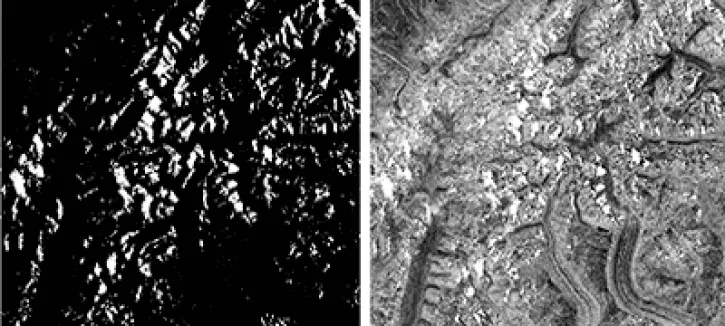
This data recipe walks users through viewing Radiometrically Terrain-Corrected (RTC) images in ArcGIS.
Data Recipe
Oct. 18, 2016
SHOWING 1 OF 9
ALOS News
View All News
Filters

A summary of datasets, products, and resources released by NASA’s Distributed Active Archive Centers (DAACs) in December 2023.
News
Jan. 4, 2024

The NASA/Indian Space Research Organization (ISRO) SAR (NISAR) project team has created sample products using JAXA ALOS-1 PALSAR data as a surrogate for NISAR.
News
Dec. 19, 2023

Explore Earth with NASA's global mosaics and maps created from synthetic aperture radar (SAR) datasets provided by the Japan Aerospace Exploration Agency (JAXA).
News
Aug. 7, 2023

Data from NASA’s ASF DAAC helps scientists like Dr. Zhong Lu develop satellite radar remote-sensing techniques for studying geohazards.
Data User Story
July 28, 2022

Talking about Synthetic Aperture Radar (SAR) with Dr. Franz Meyer, Chief Scientist, Alaska Satellite Facility (ASF)
Data User Story
May 12, 2021

Who uses NASA Earth science data? Dr. Xiaofeng Li, to study atmospheric and oceanic processes.
Data User Story
April 22, 2021

The ability for Synthetic Aperture Radar (SAR) to create high-resolution imagery regardless of atmospheric conditions makes it a key technology for studies of change over time. Dr. Paul Siqueira’s work improves these sensors and the Earth observing data they collect.
Data User Story
April 22, 2021
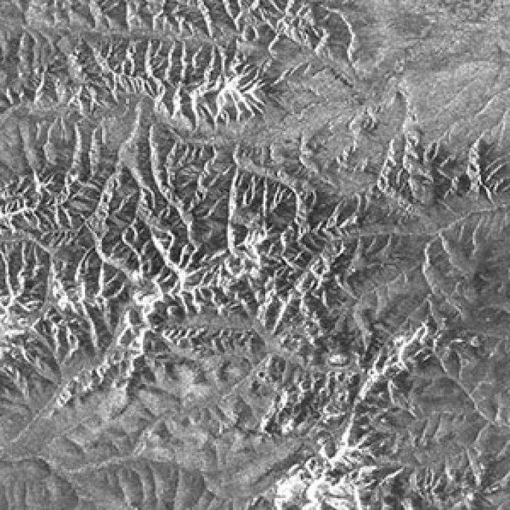
Phased array L-band synthetic aperture radar (PALSAR) data from Japan’s Advanced Land Observing Satellite (ALOS-1) mission are now unrestricted, and can be accessed by scientists and researchers around the world.
Feature Article
March 1, 2021
SHOWING 8 OF 24
Frequently Asked Questions
Earthdata Forum
Our online forum provides a space for users to browse thousands of FAQs about research needs, data, and data applications. You can also submit new questions for our experts to answer.
Submit Questions to Earthdata Forumand View Expert Responses