We are in the process of migrating all NASA Earth science data sites into Earthdata from now until end of 2026. Not all NASA Earth science data and resources will appear here until then. Thank you for your patience as we make this transition.
Read about the Web Unification Project
GPM Resources
Access news, learning resources, and documentation related to NASA's Global Precipitation Measurement (GPM) platform.
GPM Learning Resources

This advanced-level training focuses on using remote sensing observations for monitoring post-fire impacts on watershed health.
Training
July 6-13, 2023

This training will cover how soil moisture is modeled within LIS in to improve drought monitoring.
Training
May 17-31, 2023

This ARSET training focuses on developments and updates in flood monitoring tools and flood modeling techniques.
Training
Sept. 14-21, 2022

Near real-time monitoring of tropical storms and observations of previous hurricanes.
StoryMap
April 28, 2022

During this webinar we will provide an overview of TRMM and GPM precipitation data products and discuss the various ways to discover and access these data. We will also demonstrate the visualization and analysis tools and services provided by NASA's Goddard Earth Science Data and Information Services Center (GES DISC).
Webinar
April 18, 2022
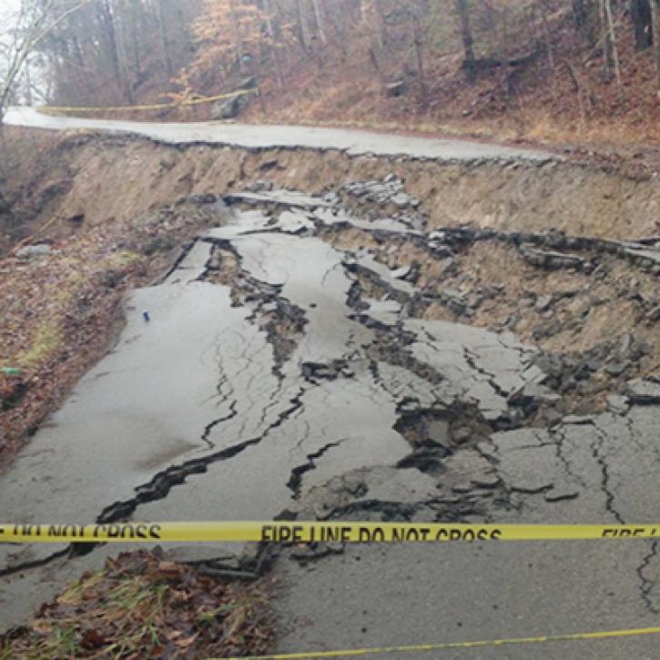
Machine Learning and Remote Sensing Show Where and When Landslides are Most Likely
StoryMap
Feb. 1, 2022
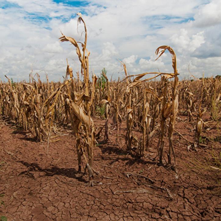
Propagation and Impacts of Great Plains Drought Captured by NASA Models and Datasets
StoryMap
Feb. 1, 2022
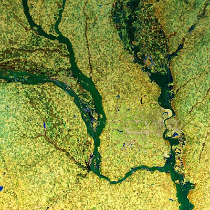
NASA Models and Remote Sensing Datasets Capture Cascading Impacts on Midwest Farmers
StoryMap
Feb. 1, 2022
SHOWING 8 OF 37
GPM News
View All News
Filters

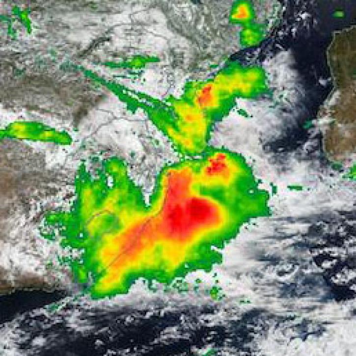
Base image captured on Mar 11, 2022, by the VIIRS instrument, aboard the joint NASA/NOAA Suomi NPP satellite overlaid with Precipitation Rate from IMERG.
Worldview Image of the Week
May 18, 2022
IMERG Precipitation Rate from Apr 11, 2022.
Worldview Image of the Week
May 18, 2022

Data from NASA’s GHRC DAAC helps scientists like Dr. Anna Wilson develop accurate representations of atmospheric rivers to increase forecast accuracy and improve weather model outputs.
Data User Story
Dec. 21, 2021

Talking about NASA precipitation data with GPM Project Scientist Dr. Gail Skofronick-Jackson.
Data User Story
May 12, 2021

Who uses NASA Earth science data? Dr. Larry O’Neill, to explore the effects of air-sea interactions on weather, ocean, and climate.
Data User Story
April 22, 2021

For the people of Asia and Southeast Asia, water is integral to their livelihood. Dr. Hossain uses NASA Earth observing data to improve water management and accelerate economic development in these regions.
Data User Story
April 22, 2021

Who uses NASA Earth science data? Dr. Rachel Albrecht, to pinpoint global lightning hotspots.
Data User Story
April 20, 2021

Who uses NASA Earth science data? Dr. Pierre Kirstetter, for improving our understanding of precipitation and flooding.
Data User Story
April 20, 2021
SHOWING 8 OF 28
Frequently Asked Questions
Earthdata Forum
Our online forum provides a space for users to browse thousands of FAQs about research needs, data, and data applications. You can also submit new questions for our experts to answer.
Submit Questions to Earthdata Forumand View Expert Responses