We are in the process of migrating all NASA Earth science data sites into Earthdata from now until end of 2026. Not all NASA Earth science data and resources will appear here until then. Thank you for your patience as we make this transition.
Read about the Web Unification Project
GPM Resources
Access news, learning resources, and documentation related to NASA's Global Precipitation Measurement (GPM) platform.
GPM Learning Resources

NASA Models and Datasets Capture Irrigation and Groundwater Depletion Impacts
StoryMap
Feb. 1, 2022

This ARSET training provides an overview of NASA resources for monitoring climate change and its impacts.
Training
Sept. 29 - Oct. 6, 2021

This ARSET training introduces data, methods, and tools useful for monitoring natural hazards on small island nations.
Training
Aug. 18-26, 2021
Esta capacitación de ARSET introduce datos, métodos y herramientas útiles para monitorear peligros naturales en pequeñas naciones insulares.
Training
Aug. 18-26, 2021

This ARSET training introduces how NASA earth observations can contribute to a greater understanding of energy management applications.
Training
June 1-22, 2021

Esta capacitación de ARSET cubre el uso de observaciones terrestres para el monitoreo operativo de incendios.
Training
May 11-27, 2021
This ARSET training provides lectures and case studies focused on the use of Earth observations for operational fire monitoring.
Training
May 11-27, 2021

This ARSET training teaches how to use earth observations to estimate water budgets for a given river basin.
Training
July 21 - Aug. 4, 2020
SHOWING 8 OF 37
GPM News
View All News
Filters
Learning how terrain shapes storms is no walk in the park.
Feature Article
April 19, 2021
Researchers aim a barrage of sensors at nature's most enduring heiroglyphs.
Feature Article
April 19, 2021
New methods help Argentinian farmers brace for bad weather.
Feature Article
Dec. 28, 2020

More than half of Earth’s population lives in urban environments. NASA Earth science data help Dr. Kristy Tiampo explore the hazards that can impact these areas.
Data User Story
Dec. 22, 2020

Who uses NASA Earth science data? Dr. Christian Kummerow, to study the water budget.
Data User Story
Dec. 22, 2020

Who uses NASA Earth science data? David Mocko, for using land-surface models to study drought.
Data User Story
Dec. 22, 2020

Image of Precipitation Rate on 1 November 2020 from IMERG.
Worldview Image of the Week
Nov. 9, 2020
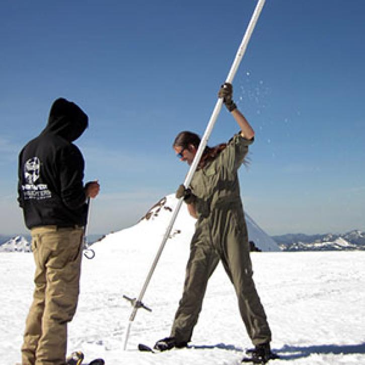
Ground validation campaigns connect the dots between what is being remotely-sensed by a satellite instrument and ongoing Earth processes.
Feature Article
Nov. 4, 2020
SHOWING 8 OF 28
Frequently Asked Questions
Earthdata Forum
Our online forum provides a space for users to browse thousands of FAQs about research needs, data, and data applications. You can also submit new questions for our experts to answer.
Submit Questions to Earthdata Forumand View Expert Responses