We are in the process of migrating all NASA Earth science data sites into Earthdata from now until end of 2026. Not all NASA Earth science data and resources will appear here until then. Thank you for your patience as we make this transition.
Read about the Web Unification Project
Landsat 8 Resources
Landsat 8 Learning Resources
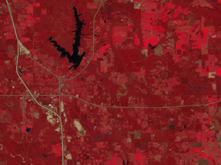
FIRMS has incorporated additional capabilities into the HLS dropdown menu of its interactive map, including four vegetation indices and the ability for user to create their own red, green, blue (RGB) image composites through the TiTiler-CMR service.
Tutorial
April 29, 2026

This three-part ARSET training covers flood monitoring via remote sensing, NASA flood products, and GEOGLOWS streamflow predictions.
Training
June 18-25, 2026
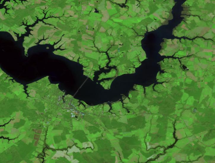
Create your own Harmonized Landsat Sentinel 2 (HLS) image composite or select from a preset list.
Tutorial
April 29, 2026

This ARSET training explores the fundamentals of thermal infrared remote sensing and some applications using ECOSTRESS data to analyze urban heat.
Training
May 26 - June 2, 2026

This ARSET training covers how to acquire, use, and derive NDVI imagery from Landsat and MODIS.
Training
Feb. 10 - March 2, 2016

This ARSET training explores how the R statistical coding language can be used to classify land cover and quantify changes in land cover over time.
Training
Feb. 24-26, 2026

This ARSET training introduces STREAM, a web tool for monitoring chlorophyll-a concentration, Secchi disk depth, and total suspended solids in inland lakes and coastal regions.
Training
Feb. 10-17, 2026

The Emergency Environmental Health Dashboard helped local communities assess water quality risks and infrastructure damage following Hurricane Helene and Tropical Storm Chantal.
Data in Action
Nov. 18, 2025
SHOWING 8 OF 79
Landsat 8 News
View All News
Filters

Based on NASA's Harmonized Landsat Sentinel-2 (HLS) data, the artificial intelligence (AI) foundation model is a milestone in the application of AI for Earth science.
News
Aug. 3, 2023

NASA Earth science data help scientists like Dr. Dan Runfola estimate the socioeconomic status of individuals around the globe.
Data User Story
July 27, 2023
New surface water extent and surface disturbance products from a NASA effort are providing needed resources to federal agencies.
Feature Article
June 15, 2023

The release of the HLS codebase gives product users greater visibility into the project’s image processing pipeline.
News
May 19, 2023
Image captured on May 1, 2023, by the OLI instrument aboard the Landsat 8 and 9 satellites.
Worldview Image of the Week
May 4, 2023
AppEEARS allows users to subset data spatially, temporally, and by layer, reducing the amount of data they need to download.
Feature Article
April 3, 2023

NASA near real-time data help Lori Schultz respond to agencies that reach out to NASA in the wake of natural disasters.
Data User Story
Jan. 31, 2023

Data from NASA’s OB.DAAC help scientists like Dr. Brice Grunert understand the processes governing carbon cycling in Earth’s ocean.
Data User Story
Dec. 21, 2022
SHOWING 8 OF 64
Frequently Asked Questions
Earthdata Forum
Our online forum provides a space for users to browse thousands of FAQs about research needs, data, and data applications. You can also submit new questions for our experts to answer.
Submit Questions to Earthdata Forumand View Expert Responses