Delivery of Suomi National Polar-orbiting Partnership (Suomi NPP) satellite data products will cease on November 1, 2026. Data users should transition now to alternative products from NOAA-21 and NOAA-20.
Suomi NPP data announcement
Landsat 8 Resources
Landsat 8 Learning Resources
Esta capacitación de ARSET cubre cómo usar datos del UN Biodiversity Lab para conservación y desarrollo sostenible.
Training
April 14 - May 4, 2022
This ARSET training shares how to apply UN Biodiversity Lab remote sensing/geospatial data for conservation and sustainable development priorities.
Training
April 14 - May 4, 2022
Esta capacitación de ARSET cubre el Kit de herramientas de observación de la Tierra para ciudades y asentamientos humanos sostenibles.
Training
Jan. 27 - Feb. 10, 2022
This ARSET training provides an overview of the Earth Observations Toolkit for Sustainable Cities and Human Settlements.
Training
Jan. 27 - Feb. 10, 2022
This ARSET training provides participants with the skills to combine in situ measurements and optical remote sensing data to assess water quality.
Training
Nov. 30 - Dec. 7, 2021
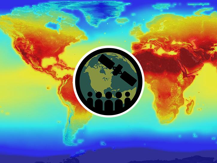
This ARSET training provides an overview of NASA resources for monitoring climate change and its impacts.
Training
Sept. 29 - Oct. 6, 2021
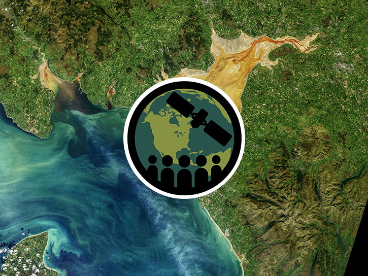
Esta capacitación de ARSET cubre similitudes y diferencias entre MODIS y VIIRS para monitoreo de calidad del agua.
Training
Sept. 14-21, 2021
This ARSET training provides an overview of the similarities and differences between MODIS and VIIRS for water quality monitoring.
Training
Sept. 14-21, 2021
SHOWING 8 OF 80
Landsat 8 News
View All News
Filters
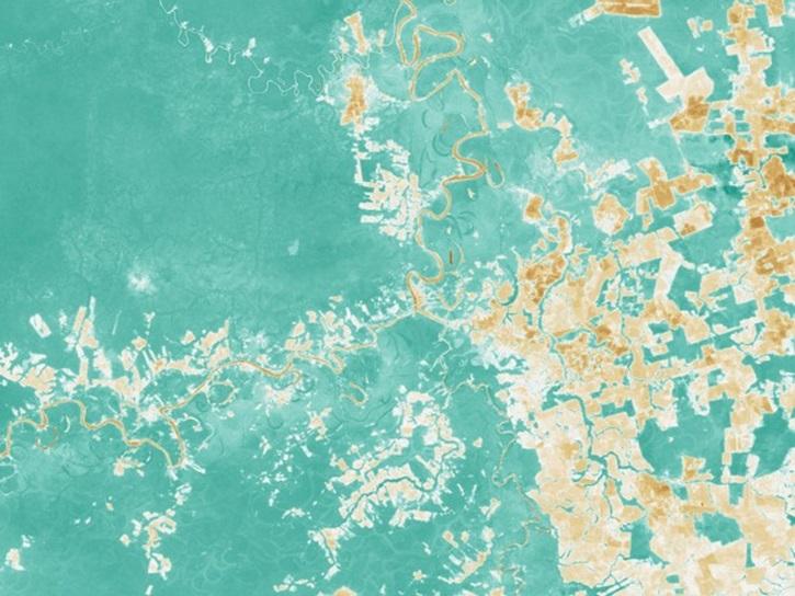
These new vegetation indices offer the same near-global coverage, and 30-meter spatial resolution as the initial HLS products.
News
Feb. 19, 2025
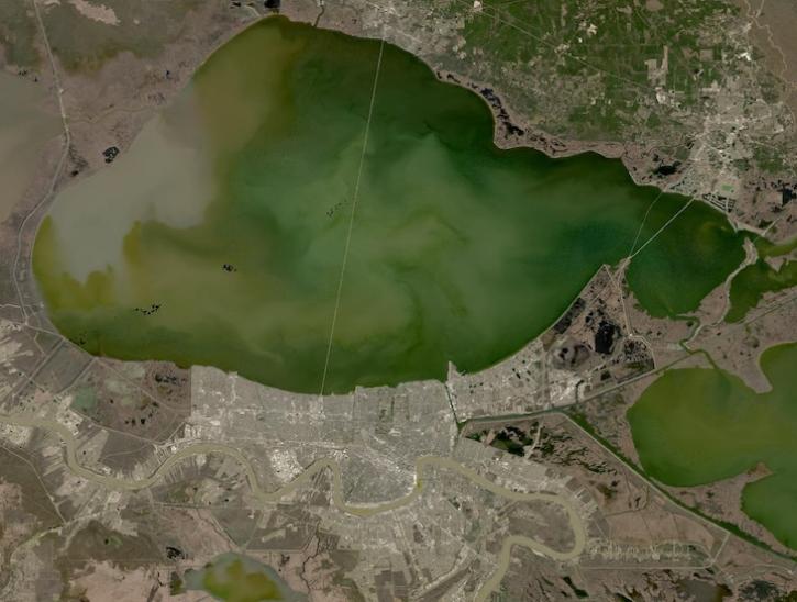
Image captured on February 2, 2025, from the OLI instrument aboard the Landsat 8 satellite.
Worldview Image of the Week
Feb. 6, 2025
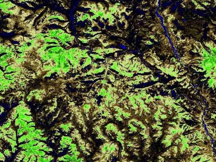
A summary of datasets, products, and resources released by NASA’s Distributed Active Archive Centers (DAACs) in November 2024.
News
Dec. 4, 2024
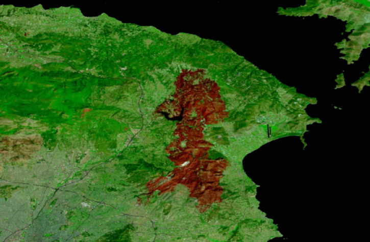
False-color reflectance image of burned areas near the Greek town of Marathon acquired on Aug 18, 2024.
Worldview Image of the Week
Aug. 22, 2024
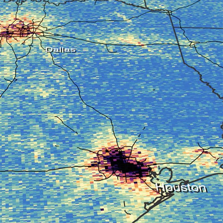
Assessment of the 2022 Satellite Needs Working Group (SNWG) survey identified six science activities to address U.S. Federal civilian agency satellite needs.
News
July 18, 2024
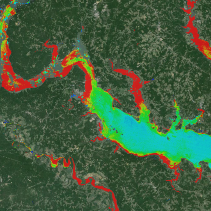
A combination of Landsat and Sentinel-2 imagery, NASA near real-time data, and machine learning provides near real-time access to high-resolution water quality maps.
News
June 27, 2024
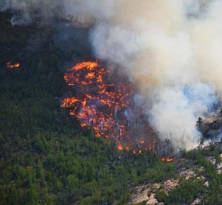
Data from NASA's Fire Information for Resource Management System (FIRMS) help personnel in Canada's Northwest Territories Department of Environment and Climate Change manage wildfires.
Feature Article
June 11, 2024
A summary of datasets, products, and resources released by NASA's Distributed Active Archive Centers (DAACs) in April 2024.
News
May 7, 2024
SHOWING 8 OF 67
Frequently Asked Questions
Earthdata Forum
Our online forum provides a space for users to browse thousands of FAQs about research needs, data, and data applications. You can also submit new questions for our experts to answer.
Submit Questions to Earthdata Forumand View Expert Responses