Delivery of Suomi National Polar-orbiting Partnership (Suomi NPP) satellite data products will cease on November 1, 2026. Data users should transition now to alternative products from NOAA-21 and NOAA-20.
Suomi NPP data announcement
Landsat 8 Resources
Landsat 8 Learning Resources
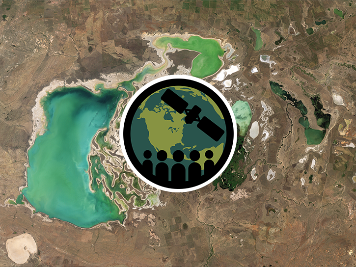
This ARSET training introduces remote sensing observations for monitoring the water level of lakes.
Training
Feb. 9-23, 2021

This ARSET training covers the use of remote sensing in determining and explaining urban heat islands, and ways to mitigate the effects.
Training
Nov. 10-24, 2020
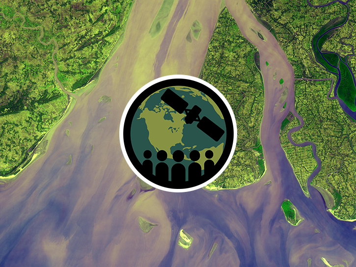
This ARSET training focuses on mapping and monitoring mangroves and how it aligns with UN Sustainable Development Goals (SDGs).
Training
Nov. 5-19, 2020
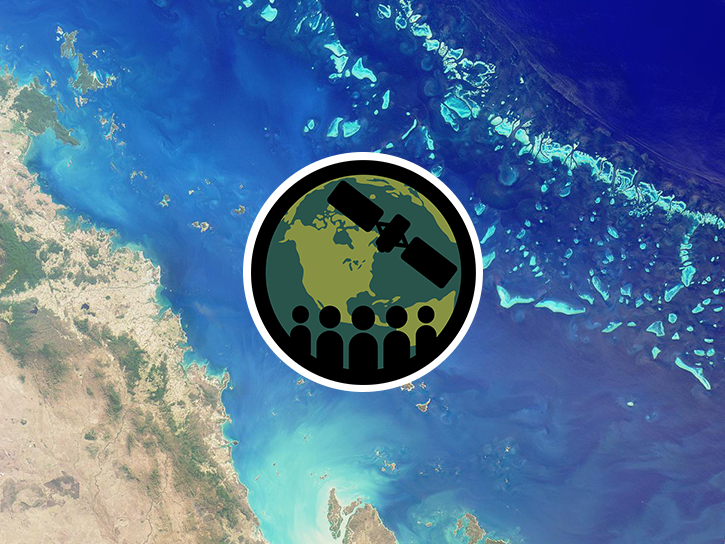
Esta capacitación de ARSET cubre algunas de las dificultades asociadas con la teledetección de ecosistemas costeros.
Training
Aug. 25 - Sept. 8, 2020
This ARSET training covers some of the difficulties associated with remote sensing of coastal ecosystems.
Training
Aug. 25 - Sept. 8, 2020
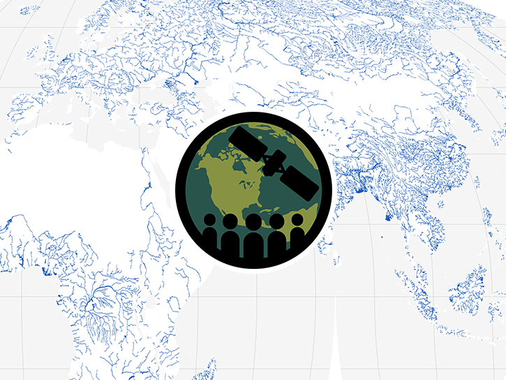
This ARSET training teaches how to use earth observations to estimate water budgets for a given river basin.
Training
July 21 - Aug. 4, 2020
This ARSET training focuses on the use of remote sensing to understand global phenology.
Training
June 30 - July 14, 2020
This ARSET training addresses how to use remote sensing data for agriculture monitoring, specifically drought and crop monitoring.
Training
April 14 - May 5, 2020
SHOWING 8 OF 80
Landsat 8 News
View All News
Filters
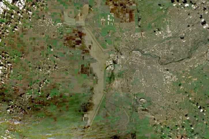
Image captured on Feb 18, 2024, by the MSI instrument aboard ESA's Sentinel 2B satellite.
Worldview Image of the Week
Feb. 22, 2024
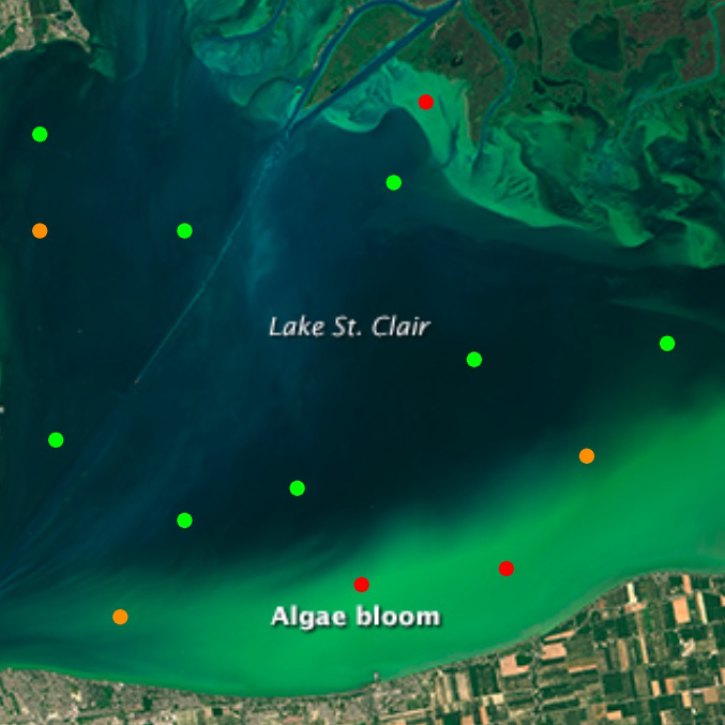
The open-source Cyanobacteria Finder (CyFi) uses machine learning to pinpoint areas that may contain harmful algal blooms in lakes, reservoirs, rivers, and other small water bodies.
Blog
Feb. 13, 2024
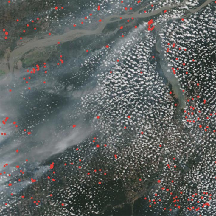
NASA researchers are tweaking algorithms and combining data from multiple satellites to track tropical forest fires in Brazil.
Feature Article
Feb. 1, 2024
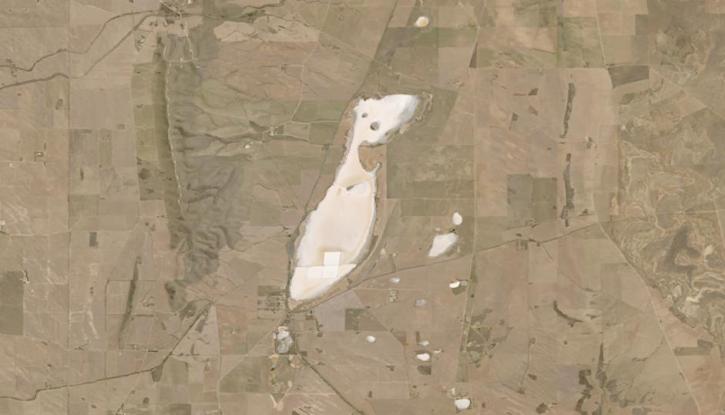
Image captured on Jan 20, 2024, by the OLI and OLI-2 instruments aboard the NASA/USGS Landsat 8 and 9 satellites.
Worldview Image of the Week
Jan. 25, 2024

In this video, Rudi Gens provides an introduction to NASA’s Observational Products for End-Users from Remote Sensing Analysis (OPERA) project data product suite.
Webinar
Jan. 23, 2024

A summary of datasets, products, and resources released by NASA’s Distributed Active Archive Centers (DAACs) in December 2023.
News
Jan. 4, 2024

NASA's Observational Products for End-Users from Remote Sensing Analysis (OPERA) project releases two new analysis-ready products.
Feature Article
Dec. 11, 2023
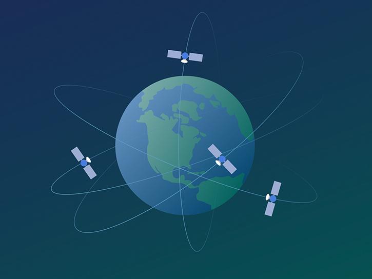
A Satellite Needs Working Group (SNWG) Town Hall at the American Geophysical Union (AGU) Fall Meeting showcases the work of this cross-agency organization and highlights SNWG data products.
News
Dec. 4, 2023
SHOWING 8 OF 67
Frequently Asked Questions
Earthdata Forum
Our online forum provides a space for users to browse thousands of FAQs about research needs, data, and data applications. You can also submit new questions for our experts to answer.
Submit Questions to Earthdata Forumand View Expert Responses