Delivery of Suomi National Polar-orbiting Partnership (Suomi NPP) satellite data products will cease on November 1, 2026. Data users should transition now to alternative products from NOAA-21 and NOAA-20.
Suomi NPP data announcement
Landsat 8 Resources
Landsat 8 Learning Resources
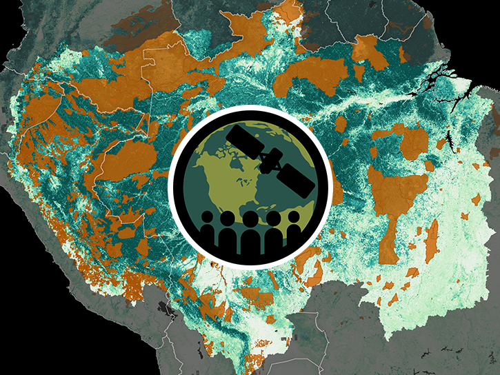
Esta capacitación de ARSET cubre técnicas para mejorar las prácticas de gestión sostenible de la tierra.
Training
Feb. 5-19, 2019
This ARSET training covers techniques for improving sustainable land management practices.
Training
Feb. 5-19, 2019
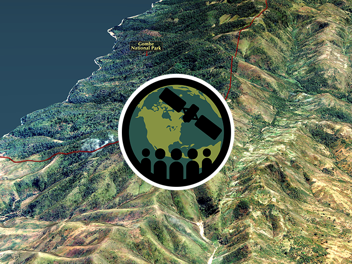
This ARSET training provides an overview of remote sensing products, tools, and applications for ecological modeling.
Training
Sept. 7-28, 2017
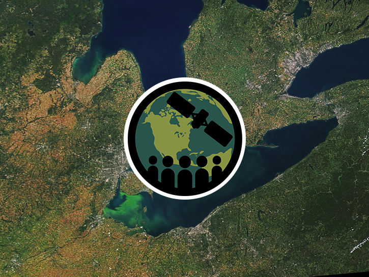
This ARSET training covers how to use remote sensing to identify impaired water quality from harmful algal blooms.
Training
Sept. 5-26, 2017
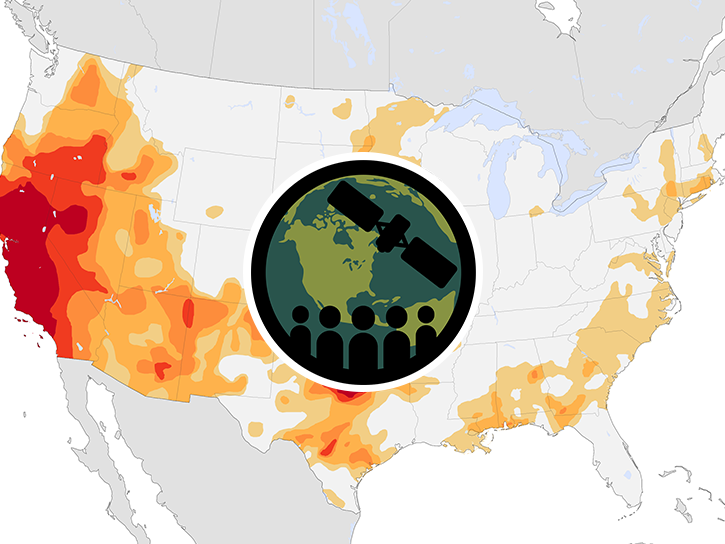
This ARSET training provides an overview of drought classification and web-based tools for drought monitoring and visualization.
Training
July 12-19, 2017

This ARSET training focuses on using satellite imagery for land cover classification.
Training
Jan. 31 - Feb. 7, 2017

This ARSET training covers NASA soil moisture and evapotranspiration products and how to access and apply them for water resource management.
Training
Sept. 1-29, 2016
This ARSET training focuses on regional and global observation resources for conservation management.
Training
May 5 - June 2, 2015
SHOWING 8 OF 80
Landsat 8 News
View All News
Filters
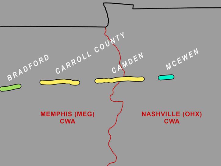
A study led by NASA researchers demonstrated how SAR satellite data can be used to identify tornado tracks and supplement storm damage surveys.
News
Aug. 7, 2026
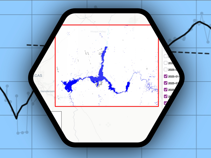
Streamline access and analysis of OPERA surface water extent with GIS services while avoiding downloading and managing data locally.
News
July 8, 2026

OPERA's dynamic surface water extent layer and Landsat images show extremely low water levels in this Arizona reservoir in June 2026.
Worldview Image of the Week
June 29, 2026
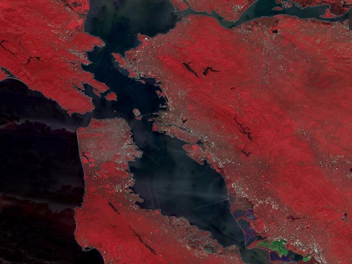
The TiTiler-CMR service generates dynamic, on-demand map tile layers that can be incorporated into GIS software and visualization applications. Two NASA mapping applications – Worldview and FIRMS – have harnessed the versatility of this service.
Feature Article
April 29, 2026
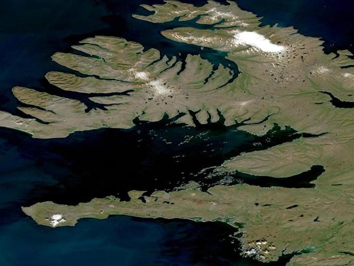
Join the NASA Satellite Needs Working Group Implementation Team (NSITE) for a virtual workshop showcasing the Harmonized Landsat and Sentinel-2 (HLS) Solution.
Event
March 26, 2026

Harmonized Landsat and Sentinel-2 (HLS) image captured on December 1, 2025, by the OLI instrument aboard the Landsat 8 platform.
Worldview Image of the Week
Dec. 12, 2025
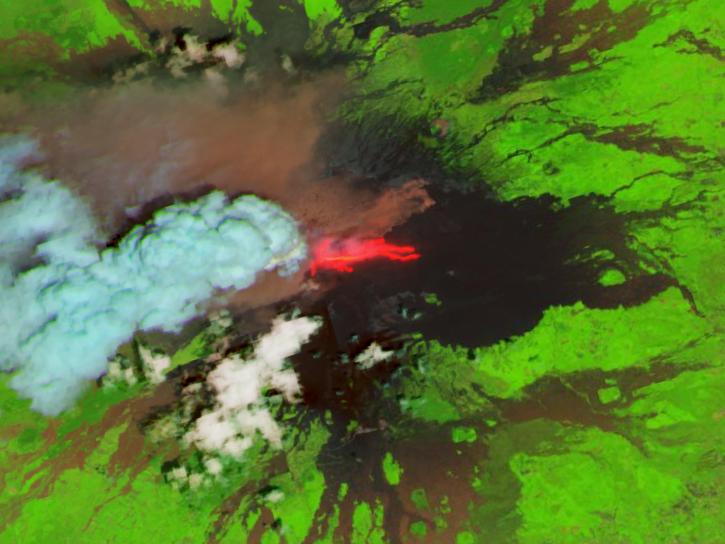
The addition of HLS data to Azure provides a foundation for next-generation Earth observation capabilities.
Blog
Sept. 30, 2025

Harmonized Landsat Sentinel-2 (HLS) image captured on August 30, 2025, by the OLI instrument aboard the Landsat 8 platform.
Worldview Image of the Week
Sept. 4, 2025
SHOWING 8 OF 67
Frequently Asked Questions
Earthdata Forum
Our online forum provides a space for users to browse thousands of FAQs about research needs, data, and data applications. You can also submit new questions for our experts to answer.
Submit Questions to Earthdata Forumand View Expert Responses