We are in the process of migrating all NASA Earth science data sites into Earthdata from now until end of 2026. Not all NASA Earth science data and resources will appear here until then. Thank you for your patience as we make this transition.
Read about the Web Unification Project
Landsat 8 Resources
Landsat 8 Learning Resources

Cette formation ARSET est axée sur l'utilisation des données du Laboratoire de biodiversité des Nations Unies et des données satellitaires de la NASA.
Training
March 24 - April 7, 2020
Esta capacitación de ARSET se centra en cómo aplicar los datos del UN Biodiversity Lab y satélites de la NASA a las metas de los ODS.
Training
March 24 - April 7, 2020

This ARSET training guides participants through using Earth observations for habitat monitoring, specifically for freshwater fish and other species.
Training
Sept. 17 - Oct. 1, 2019

Esta capacitación de ARSET aborda cómo utilizar las observaciones de la Tierra para rastrear los cambios en el uso del suelo.
Training
July 9-23, 2019
This ARSET training highlights a tool that uses earth observations to track land degradation and urban development that meet SDG targets.
Training
July 9-23, 2019

This ARSET training focuses on integrating NASA Earth observations into water quality monitoring decision-making processes.
Training
June 5-19, 2019

This ARSET training introduces the ecological applications of time series analysis.
Training
April 15-17, 2019

Esta capacitación de ARSET cubre técnicas para mejorar las prácticas de gestión sostenible de la tierra.
Training
Feb. 5-19, 2019
SHOWING 8 OF 79
Landsat 8 News
View All News
Filters
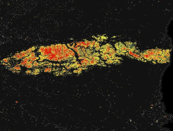
Image for May 8, 2025, derived from OPERA's Harmonized Landsat Sentinel-2 Land Surface Disturbance data.
Worldview Image of the Week
May 15, 2025

Join us on Thursday, May 29, to learn about the NASA JPL OPERA Surface Displacement (OPERA-DISP) dataset and how to access and explore the data using ASF DAAC's Displacement Portal.
Webinar
May 14, 2025
Two new Earthdata tutorials guide users in accessing Landsat 8 data using the Application for Extracting and Exploring Analysis Ready Samples (AppEEARS) tool.
News
March 13, 2025

Users of NASA’s Fire Information for Resource Management System (FIRMS) can now differentiate between fires caused by burning vegetation and fires from natural heat sources or industrial heat sources.
Blog
March 7, 2025

A summary of datasets, products, and resources released by NASA’s Distributed Active Archive Centers (DAACs) in February 2025.
News
March 6, 2025

These new vegetation indices offer the same near-global coverage, and 30-meter spatial resolution as the initial HLS products.
News
Feb. 19, 2025
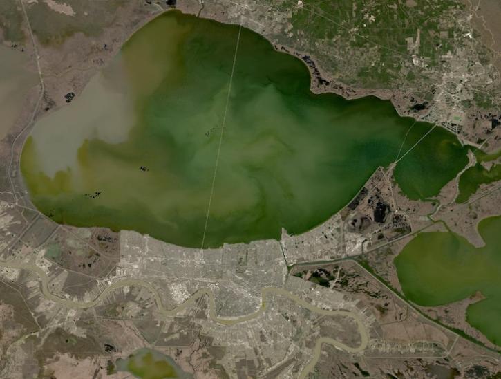
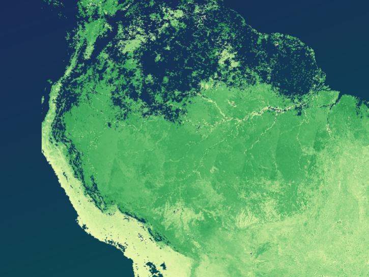
Image captured on February 2, 2025, from the OLI instrument aboard the Landsat 8 satellite.
Worldview Image of the Week
Feb. 6, 2025

A summary of datasets, products, and resources released by NASA’s Distributed Active Archive Centers (DAACs) in November 2024.
News
Dec. 4, 2024
SHOWING 8 OF 64
Frequently Asked Questions
Earthdata Forum
Our online forum provides a space for users to browse thousands of FAQs about research needs, data, and data applications. You can also submit new questions for our experts to answer.
Submit Questions to Earthdata Forumand View Expert Responses