Delivery of Suomi National Polar-orbiting Partnership (Suomi NPP) satellite data products will cease on November 1, 2026. Data users should transition now to alternative products from NOAA-21 and NOAA-20.
Suomi NPP data announcement
Suomi NPP Resources
Suomi NPP Documents
| Name Sort descending | Description | File Type | Date Published | |
|---|---|---|---|---|
| Discover and Access NASA's Near Real-Time Global Flood Products | This presentation provides an introduction to NASA's near real-time global flood products available through NASA's Land, Atmosphere Near real-time Capability for Earth observation. Information about how to discover, access, and use these NRT products is also provided. | PDF (16.77 mb) | Sept. 17, 2025 | |
| NPOESS Preparatory Project (NPP) & National Polar-orbiting Operational Environmental Satellite System (NPOESS) VIIRS (Visible/Infrared Imager/Radiometer Suite) | NPOESS Preparatory Project (NPP) & National Polar-orbiting Operational Environmental Satellite System (NPOESS) VIIRS (Visible/Infrared Imager/Radiometer Suite) | PDF (1.38 mb) | April 19, 2004 | |
| SNPP VIIR | SNPP VIIR | PDF (2.46 mb) | April 19, 2004 | |
| Use of the Moon as a calibration reference for NPP VIIRS (PDF) | Use of the Moon as a calibration reference for NPP VIIRS | PDF (541.05 kb) | Aug. 10, 2005 | |
| Use of the Moon as a calibration reference for NPP VIIRS (PPT) | Use of the Moon as a calibration reference for NPP VIIRS | PPT (1.52 mb) | Aug. 2, 2005 | |
| VIIRS Product Evaluation at the Ocean PEATE | VIIRS Product Evaluation at the Ocean PEATE | PPT (1.2 mb) | July 27, 2010 |
Suomi NPP Learning Resources
Esta capacitación de ARSET cubre algunas de las dificultades asociadas con la teledetección de ecosistemas costeros.
Training
Aug. 25 - Sept. 8, 2020
This ARSET training covers some of the difficulties associated with remote sensing of coastal ecosystems.
Training
Aug. 25 - Sept. 8, 2020
This ArcGIS Python Toolbox simplifies access to quality data by decoding complex quality information into usable thematic raster files.
Tutorial
Aug. 18, 2020
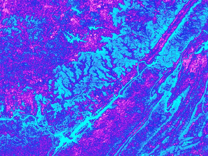
See how the Tennessee Valley Energy DEVELOP team used Earth observations to predict river water temperatures for managing and protecting aquatic ecosystems.
Data in Action
July 1, 2020
This ARSET training focuses on the use of remote sensing to understand global phenology.
Training
June 30 - July 14, 2020

Learn how a NASA DEVELOP team helped create models to determine an ideal location for a jaguar corridor using NASA Earth observation data.
Data in Action
May 21, 2020
This ARSET training addresses how to use remote sensing data for agriculture monitoring, specifically drought and crop monitoring.
Training
April 14 - May 5, 2020
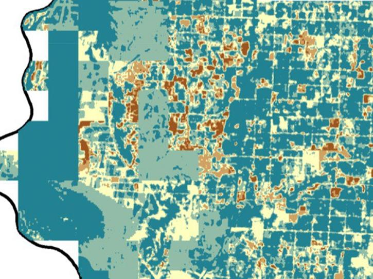
In Spring 2019 DEVELOP researchers used VIIRS and other instrument data to create models that provide fine details on drought conditions in Iowa.
Data in Action
April 13, 2020
SHOWING 8 OF 70
Suomi NPP News
View All News
Filters

Hot, dry, and windy conditions fueled the spread of wildfires across the region in late June and early July, when Suomi NPP captured this data.
Worldview Image of the Week
July 2, 2026
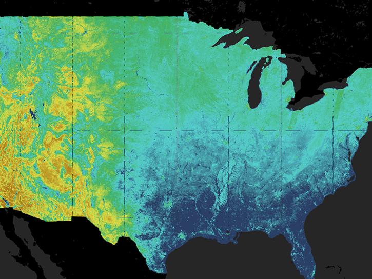
The Satellite Needs Working Group (SNWG) works to identify and address the Earth observation needs of civilian federal agencies. SNWG is launching its latest biennial survey to identify needs, while also reporting progress on previous solutions.
Feature Article
April 27, 2026

NASA significantly enhanced its MODIS and VIIRS near real-time flood products, enabling users to distinguish between unusual and recurring flooding.
Blog
April 10, 2026
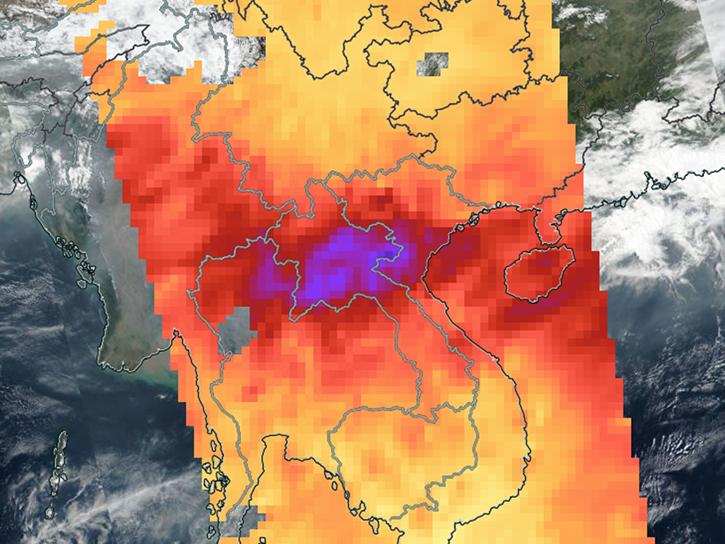
Sensors on Aqua, Suomi-NPP, and NOAA-20 detected fires and poor air quality across Thailand, Laos, Cambodia, Vietnam, and other countries in early April 2026.
Worldview Image of the Week
April 10, 2026

The OMPS instrument aboard the NASA/NOAA Suomi NPP platform captured imagery and data on March 5, 2026.
Worldview Image of the Week
March 6, 2026
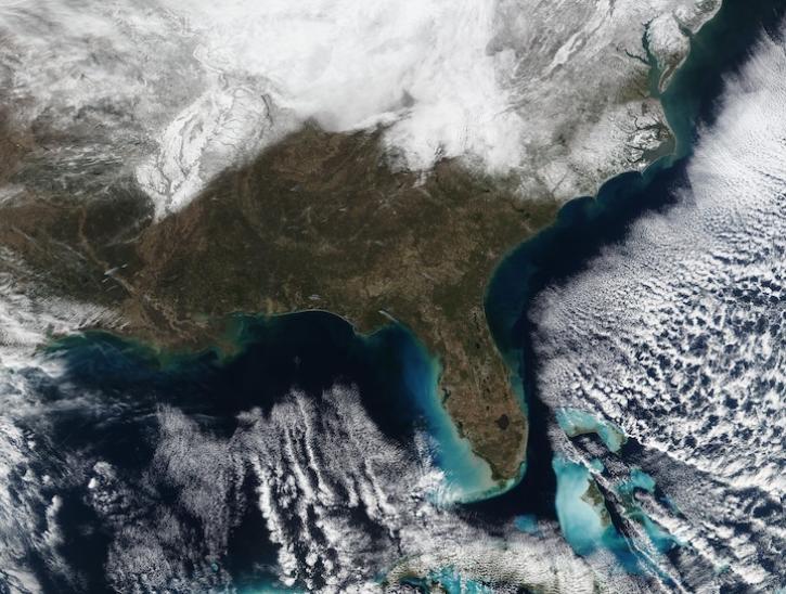
Image captured February 2, 2026, by the VIIRS instrument aboard the joint NASA/NOAA Suomi NPP platform.
Worldview Image of the Week
Feb. 5, 2026

Image captured January 21, 2026, by the VIIRS instrument aboard the joint NASA/NOAA Suomi NPP platform.
Worldview Image of the Week
Jan. 22, 2026

The VIIRS product provides continuity to the MODIS-generated NASA standard science burned area product.
Blog
Sept. 24, 2025
SHOWING 8 OF 334
Frequently Asked Questions
Earthdata Forum
Our online forum provides a space for users to browse thousands of FAQs about research needs, data, and data applications. You can also submit new questions for our experts to answer.
Submit Questions to Earthdata Forumand View Expert Responses