We are in the process of migrating all NASA Earth science data sites into Earthdata from now until end of 2026. Not all NASA Earth science data and resources will appear here until then. Thank you for your patience as we make this transition.
Read about the Web Unification Project
Terra Resources
Terra Learning Resources
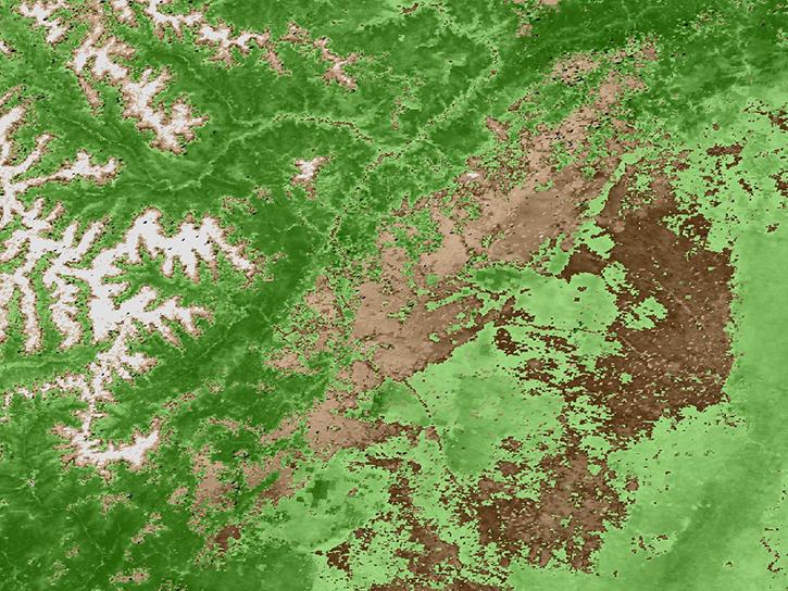
Explore how remote sensing is used to study landslide vegetation recovery in China, identify zero curtain effects for permafrost detection, and map geothermal minerals in East Africa.
Data in Action
April 28, 2020
This ARSET training addresses how to use remote sensing data for agriculture monitoring, specifically drought and crop monitoring.
Training
April 14 - May 5, 2020
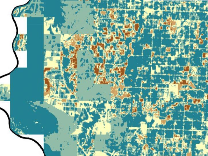
In Spring 2019 DEVELOP researchers used VIIRS and other instrument data to create models that provide fine details on drought conditions in Iowa.
Data in Action
April 13, 2020
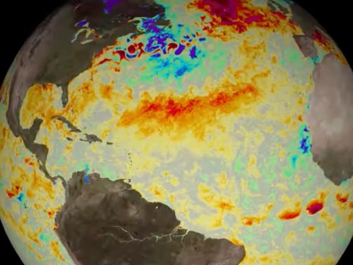
Evaluating the evolution of ocean response to the 2019 Atlantic tropical cyclones.
Data in Action
April 2, 2020
This ARSET training focuses on how to apply the UN Biodiversity Lab and NASA satellite data to conservation and SDG goals.
Training
March 24 - April 7, 2020
Cette formation ARSET est axée sur l'utilisation des données du Laboratoire de biodiversité des Nations Unies et des données satellitaires de la NASA.
Training
March 24 - April 7, 2020
Esta capacitación de ARSET se centra en cómo aplicar los datos del UN Biodiversity Lab y satélites de la NASA a las metas de los ODS.
Training
March 24 - April 7, 2020
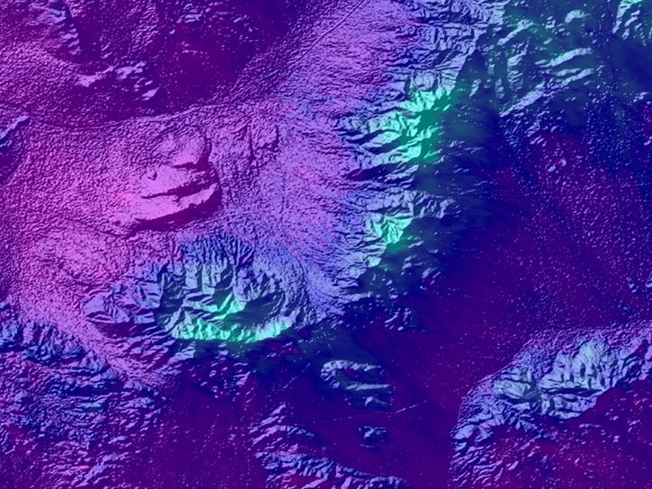
See how a DEVELOP project team employed Earth observation data to examine and predict the location of bighorn sheep habitat in the Mojave Desert.
Data in Action
Feb. 24, 2020
SHOWING 8 OF 235
Terra News
View All News
Filters
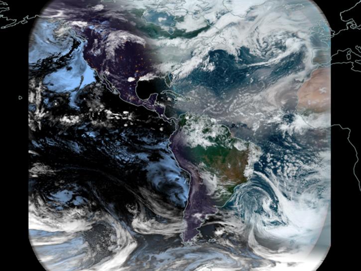
Worldview's latest release, v3.11.0, contains a few new features and imagery layers that we'd like to share with you!
Blog
July 23, 2021
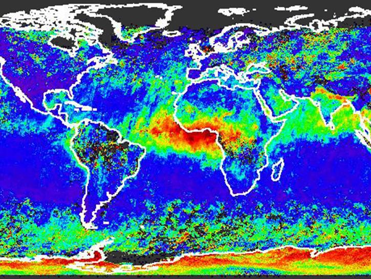
Introducing the New MISR Near Real-Time Aerosol Product
News
July 20, 2021
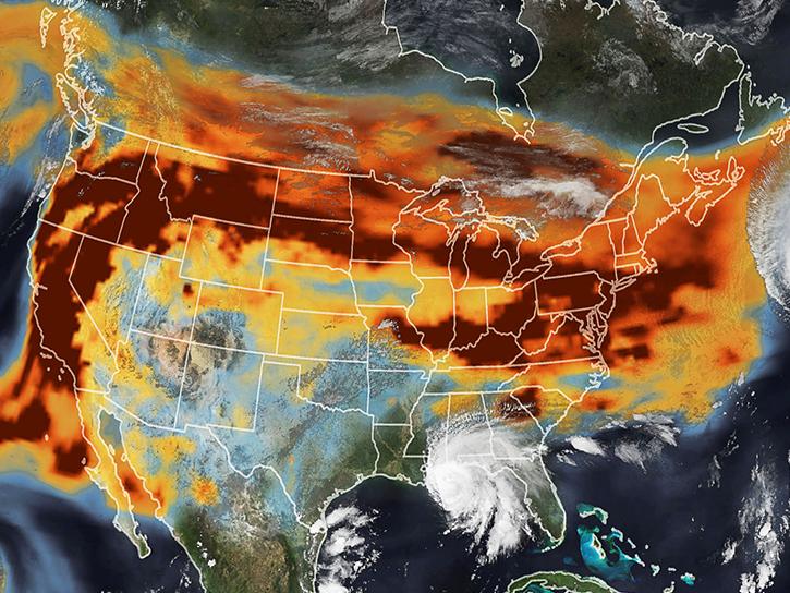
View smoke in FIRMS using Corrected Reflectance Imagery or aerosol indices.
Blog
July 15, 2021
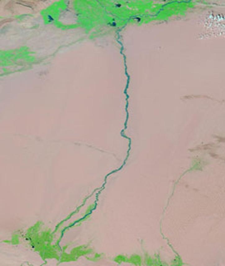
Image captured on 17 August 2020, by the MODIS instrument, aboard NASA's Terra satellite.
Worldview Image of the Week
July 13, 2021
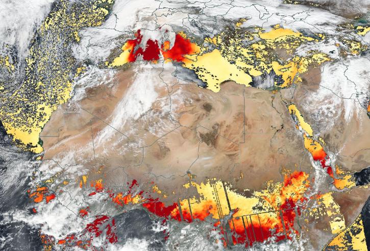
Based on the same MODIS algorithm, the new VIIRS Dark Target Aerosol product provides global satellite-derived measurements of Aerosol Optical Depth and aerosol properties over land and ocean.
News
July 12, 2021
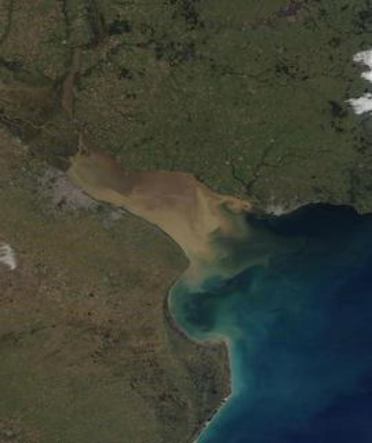
Image captured on 6 July 2021, by the MODIS instrument, aboard the Terra satellite.
Worldview Image of the Week
July 12, 2021

The Time Since Detection classification for MODIS and VIIRS active fire detection is available in the fire map for FIRMS Global and FIRMS US/Canada.
Blog
June 30, 2021
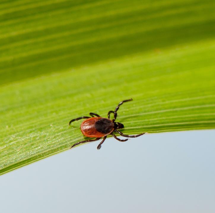
Researchers used field and remote sensing data to map the spread of ticks carrying Lyme disease bacteria in central and eastern Canada.
Feature Article
June 24, 2021
SHOWING 8 OF 450
Frequently Asked Questions
Earthdata Forum
Our online forum provides a space for users to browse thousands of FAQs about research needs, data, and data applications. You can also submit new questions for our experts to answer.
Submit Questions to Earthdata Forumand View Expert Responses