We are in the process of migrating all NASA Earth science data sites into Earthdata from now until end of 2026. Not all NASA Earth science data and resources will appear here until then. Thank you for your patience as we make this transition.
Read about the Web Unification Project
Terra Resources
Terra Learning Resources

Learn how to work with ASTER Level 1 Precision Terrain Corrected Registered At-Sensor Radiance ASTER L1T HDF-EOS (.hdf) files in R.
Data Recipe
Aug. 4, 2017
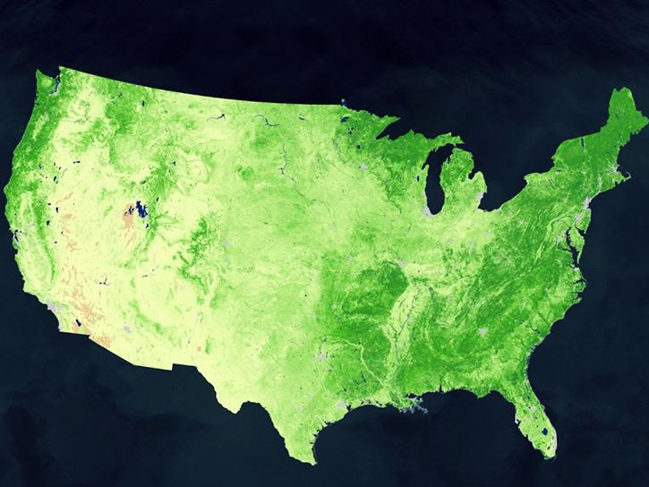
Learn how to decode quality data from MODIS products using an API quality service.
Tutorial
July 28, 2017
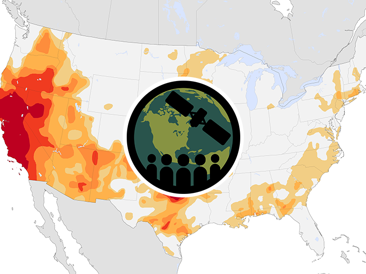
This ARSET training provides an overview of drought classification and web-based tools for drought monitoring and visualization.
Training
July 12-19, 2017
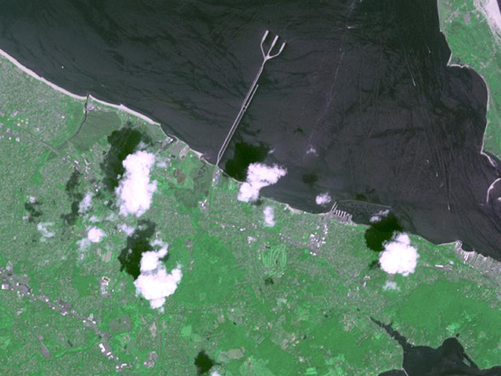
Follow Superstorm Sandy's lifecycle and impacts, and how the recovery of affected ecosystems were tracked by NASA remote sensing data.
Data in Action
July 6, 2017
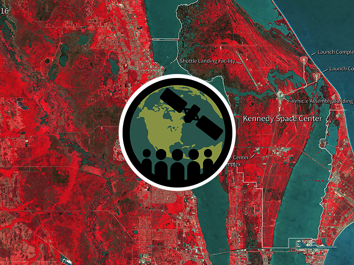
This ARSET training covers how to access and apply satellite data relevant to land indicators, such as estimating total forest area and forest change.
Training
June 20-22, 2017
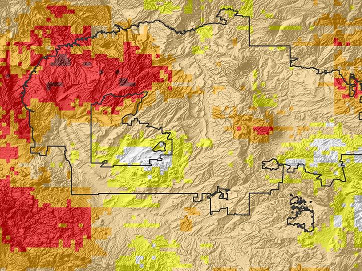
Read how Navajo Nation Climate III DEVELOP team used Earth observation data to investigate drivers of drought in the Southwestern United States.
Data in Action
June 14, 2017
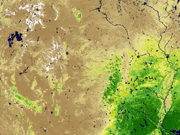
Researchers use the the combined Terra and Aqua MODIS leaf area index data product to detect crop damage caused by hail.
Data in Action
May 31, 2017
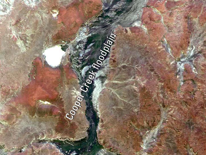
Discover how remote sensing supports temperature modeling, urban agriculture mapping, and analysis of floodplain behavior in arid regions.
Data in Action
April 26, 2017
SHOWING 8 OF 235
Terra News
View All News
Filters
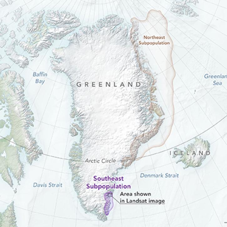
NASA Earth observation data contributed to the discovery of a previously unknown subpopulation of polar bears in Southeast Greenland.
Feature Article
June 23, 2022

Image captured on Jun 13, 2022, by the MODIS instrument aboard the Terra satellite.
Worldview Image of the Week
June 14, 2022

Data from NASA’s LP DAAC help Dr. David Thoma determine how climate change will impact natural resources on National Park System lands.
Data User Story
May 23, 2022

Update Your Bookmarks: We are no longer processing the "Chlorophyll a Terra/MODIS" (MODIS_Terra_Chlorophyll_A) and "Chlorophyll a Aqua/MODIS" (MODIS_Aqua_Chlorophyll_A). Comparable layers are available for Terra/MODIS, Aqua/MODIS and now, Suomi NPP/VIIRS.
Blog
May 19, 2022
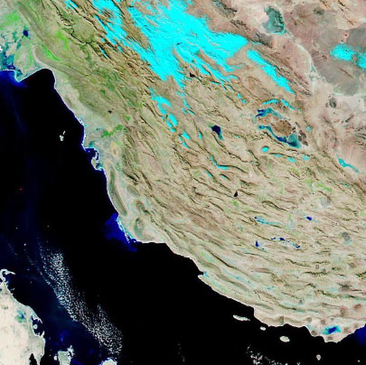
With the eventual retirement of the Terra and Aqua platforms, the Visible Infrared Imaging Radiometer Suite (VIIRS) instruments will take the lead in daily Earth observations.
Feature Article
May 18, 2022
NASA’s Terra mission soon will shift to Phase F: decommissioning. Here's what this means for the future of this groundbreaking satellite.
Feature Article
May 3, 2022

Data from NASA’s NSIDC DAAC helps scientists like Dr. Kristin Poinar develop the next generation of models for forecasting sea-level rise from melting glaciers and ice sheets.
Data User Story
May 3, 2022

Data from NASA’s Atmospheric Science Data Center helps system engineers like Abigail Nastan develop engaging new ways of partnering with data users to maximize the benefits of NASA Earth science missions.
Data User Story
May 2, 2022
SHOWING 8 OF 450
Frequently Asked Questions
Earthdata Forum
Our online forum provides a space for users to browse thousands of FAQs about research needs, data, and data applications. You can also submit new questions for our experts to answer.
Submit Questions to Earthdata Forumand View Expert Responses