We are in the process of migrating all NASA Earth science data sites into Earthdata from now until end of 2026. Not all NASA Earth science data and resources will appear here until then. Thank you for your patience as we make this transition.
Read about the Web Unification Project
Terra Resources
Terra Learning Resources

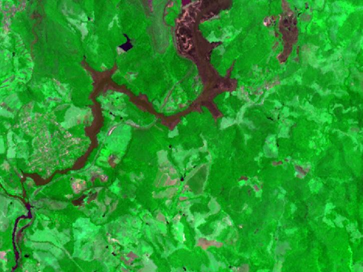
The West Africa Atlas uses ASTER data, aerial imagery, and ground images to illustrate changes and responses to environmental challenges in 17 countries.
Data in Action
March 1, 2017

Satellite data from NASA's MODIS instrument illustrates the relationship between snow cover and temperature and the viability of skiing conditions over time.
Data in Action
Feb. 2, 2017

Learn about Moderate Resolution Imaging Spectroradiometer (MODIS) Version 6 Surface Reflectance data, including band combinations and data values.
Tutorial
Jan. 23, 2017

Learn to interpret Moderate Resolution Imaging Spectroradiometer (MODIS) Surface Reflectance data quality via Quality Assurance bits, tools, and resources.
Tutorial
Jan. 23, 2017

Learn how to interpret Moderate Resolution Imaging Spectroradiometer (MODIS) Land Surface Temperature data quality information, including decoding binary quality layers and utilizing tools for data analysis.
Tutorial
Jan. 23, 2017

Learn how to access Moderate Resolution Imaging Spectroradiometer (MODIS) Surface Reflectance data through Earthdata Search.
Tutorial
Jan. 23, 2017

The Global Land Ice Measurements from Space (GLIMS) initiative uses satellite data to track glacier changes, providing vital data for climate and hazard studies.
Data in Action
Dec. 14, 2016

Discover how a NASA DEVELOP team developed a tool to understand drought impact and avoid long-term effects.
Data in Action
Nov. 30, 2016
SHOWING 8 OF 235
Terra News
View All News
Filters

Image captured on 24 December 2018, by the MODIS instrument, aboard the Terra satellite.
Worldview Image of the Week
Feb. 26, 2020

Australian wildfires observations by the Cloud-Aerosol Lidar and Infrared Pathfinder Satellite Observations (CALIPSO) and Multi-angle Imaging SpectroRadiometer (MISR).
News
Feb. 25, 2020

Two new datasets are available from NASA's Socioeconomic Data and Applications Center.
News
Jan. 3, 2020
Version 3 of the ASTER GDEM product is available free of charge worldwide.
News
Aug. 5, 2019

Image captured on 28 April 2019, by the MODIS instrument, aboard the Terra satellite
Worldview Image of the Week
April 29, 2019

Worldview and the Global Imagery Browse Services (GIBS) are now offering near real-time true/natural color and infrared color imagery from the Multi-angle Imaging SpectroRadiometer (MISR) instrument on the Terra satellite.
Blog
Sept. 27, 2017
See a list of the most recent GIBS and Worldview imagery additions.
Blog
Sept. 1, 2017
Issues with VIIRS near real-time products and some MODIS near real-time atmosphere products have been resolved.
Blog
March 23, 2017
SHOWING 8 OF 450
Frequently Asked Questions
Earthdata Forum
Our online forum provides a space for users to browse thousands of FAQs about research needs, data, and data applications. You can also submit new questions for our experts to answer.
Submit Questions to Earthdata Forumand View Expert Responses