We are in the process of migrating all NASA Earth science data sites into Earthdata from now until end of 2026. Not all NASA Earth science data and resources will appear here until then. Thank you for your patience as we make this transition.
Read about the Web Unification Project
Terra Resources
Terra Learning Resources
MISR's aerosol amount, particle type, aerosol plume height, and associated wind vector data were contributed to CalFiDE's dataset.
Data in Action
Sept. 30, 2022
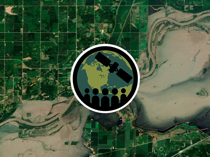
This ARSET training focuses on developments and updates in flood monitoring tools and flood modeling techniques.
Training
Sept. 14-21, 2022
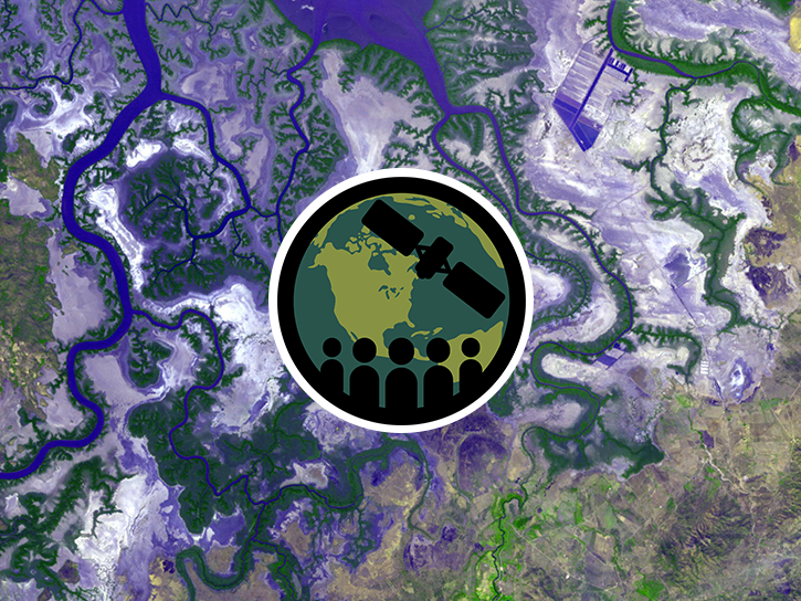
This ARSET training outlines the basics of ecosystem services and natural capital accounting.
Training
Aug. 23-30, 2022

This ARSET training provides hands-on exercises to measure urban heat islands and construct heat vulnerability indices.
Training
Aug. 2-11, 2022
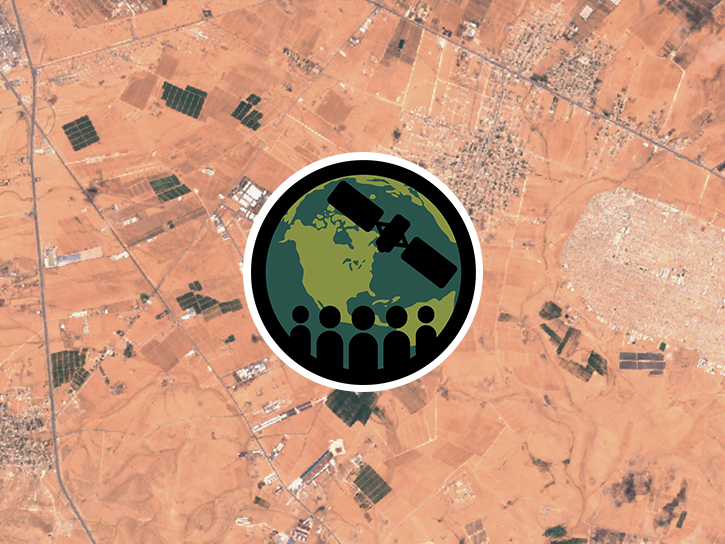
This ARSET training focuses on using NASA data products for monitoring human settlements and landscapes during armed conflict and forced displacement.
Training
June 14-23, 2022
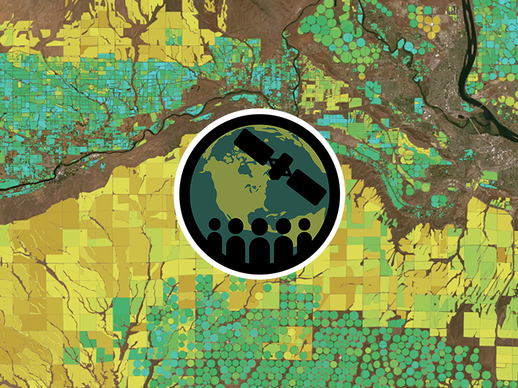
This ARSET training focuses on introducing evapotranspiration (ET) products derived from remote sensing observations.
Training
June 1-15, 2022

Join us to learn how to search and order datasets from NASA's Level-1 and Atmosphere Archive and Distribution System Distributed Active Archive Center (LAADS DAAC). Subsetting, reprojection, and data output post-processing operations in the Find Data tool will also be featured.
Webinar
May 18, 2022
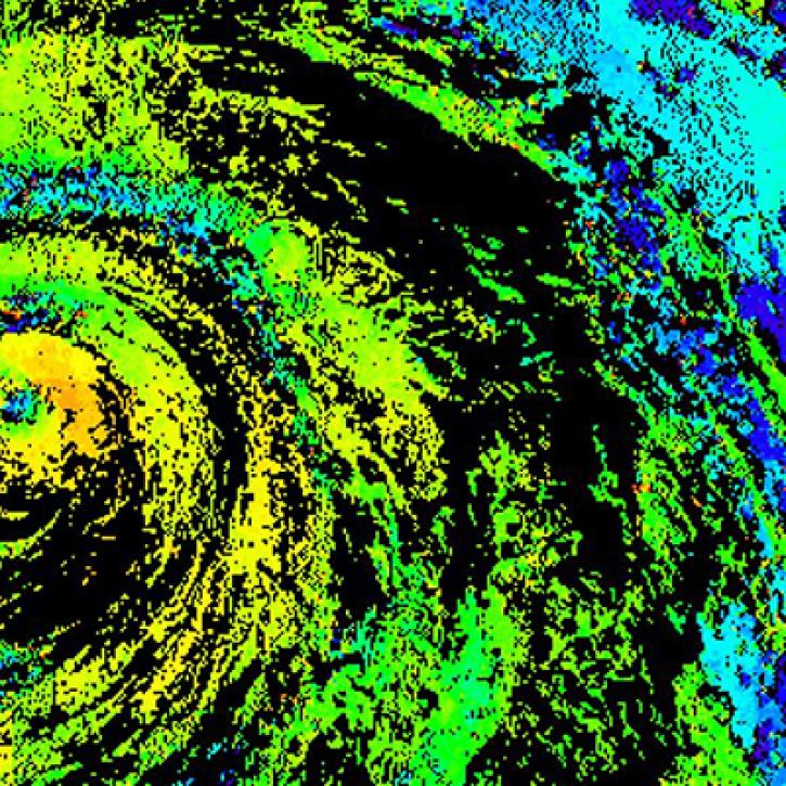
Near real-time monitoring of tropical storms and observations of previous hurricanes.
StoryMap
April 28, 2022
SHOWING 8 OF 235
Terra News
View All News
Filters

Talking about 20 years of NASA's Terra mission and its significance with Terra Project Scientist Dr. Kurt Thome.
Data User Story
May 12, 2021

A global team is using artificial intelligence and machine learning to enable users to search for specific features in satellite imagery available through NASA’s Global Imagery Browse Services (GIBS).
Feature Article
May 6, 2021
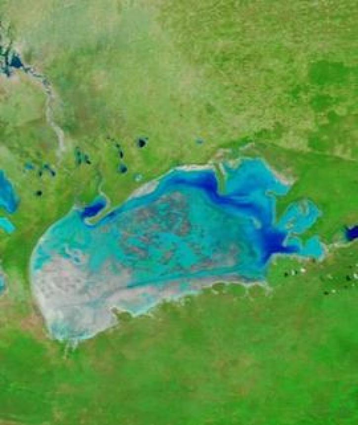
Image captured on 5 April 2021, by the MODIS instrument, aboard the Terra satellite.
Worldview Image of the Week
April 27, 2021

Who Uses NASA Earth Science Data? Rowena Lohman, to study earthquake physics, satellite remote sensing, finite element modeling, ground displacements from a variety of anthropogenic and natural causes.
Data User Story
April 22, 2021
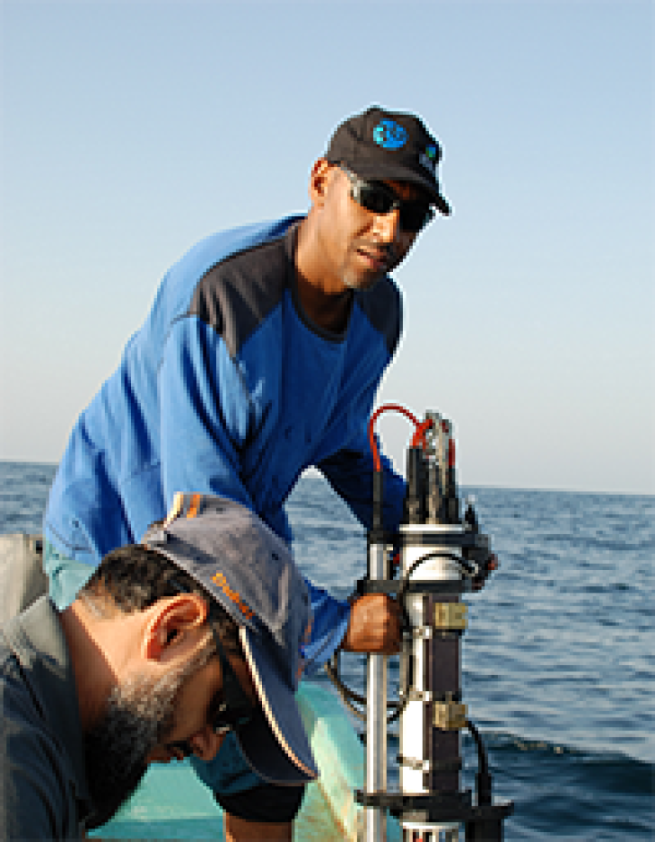
Who uses NASA Earth science data? Adnan Al-Azri, to study why periodic harmful blooms of algae occur in the Sea of Oman and Arabian Sea.
Data User Story
April 22, 2021

Who uses NASA Earth science data? Dennis Ojima, to examine natural resource management response strategies to climate change in the North Central U.S.
Data User Story
April 22, 2021

Who uses NASA Earth Science Data? Fred Huemmrich, to study ecosystem functions and how ecosystems respond to environmental conditions.
Data User Story
April 22, 2021
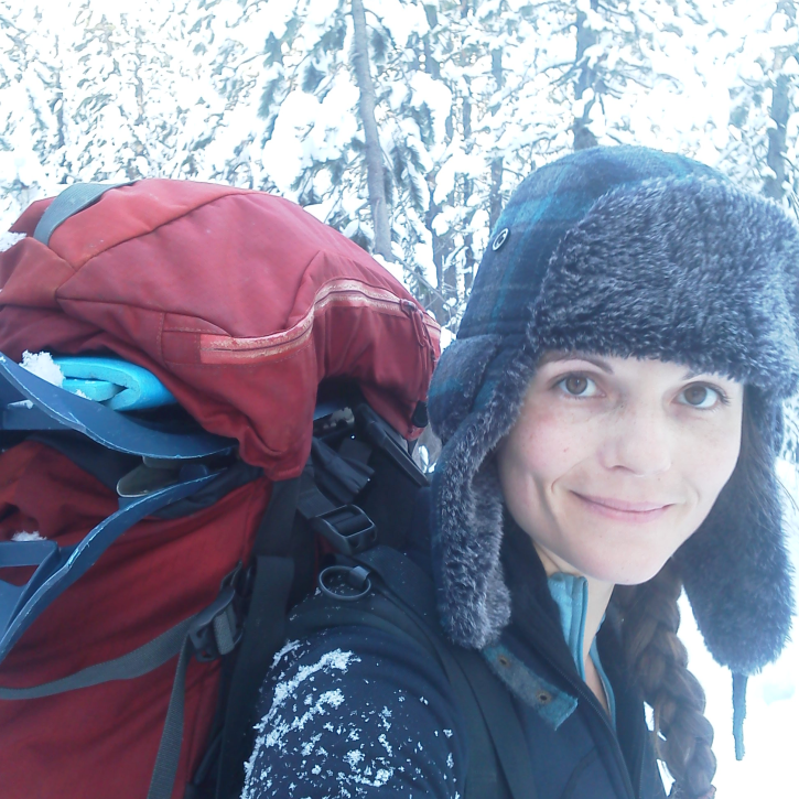
Who Uses NASA Earth Science Data? Kelly Gleason, to study interactions of ecosystem disturbance and mountain hydroclimatology along with the associated implications for water resource availability in a changing climate.
Data User Story
April 22, 2021
SHOWING 8 OF 450
Frequently Asked Questions
Earthdata Forum
Our online forum provides a space for users to browse thousands of FAQs about research needs, data, and data applications. You can also submit new questions for our experts to answer.
Submit Questions to Earthdata Forumand View Expert Responses