
In order to improve our understanding of the effect of aerosols on climate and air quality, measurements of aerosol chemical composition, size distribution, height profile, and optical properties are of crucial importance. In terms of remotely sensed instrumentation, the most extensive set of aerosol properties can be obtained by combining passive multi-angle, multi-spectral measurements of intensity and polarization with active measurements performed by a High Spectral Resolution Lidar.
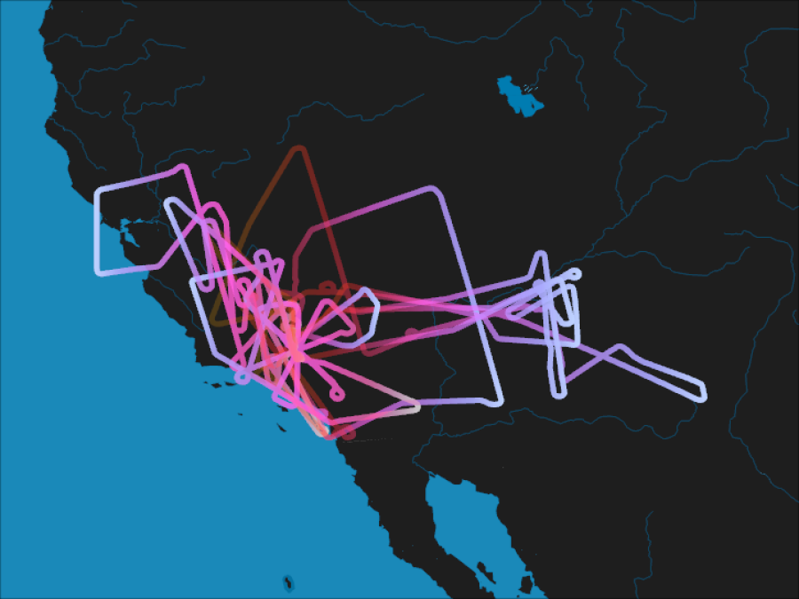
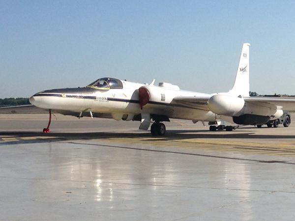
During Fall 2017, the Aerosol Characterization from Polarimeter and Lidar (ACEPOL) campaign—jointly sponsored by NASA and the Netherlands Institute for Space Research (SRON)—collected aerosol and cloud measurements over the United States from the NASA high altitude ER-2 aircraft. The operation was based out of NASA’s Armstrong Flight Research Center in Palmdale, California, which enabled observations of a wide variety of scene types, including urban, desert, forest, coastal ocean, and agricultural areas and in a variety of atmospheric conditions (clear, cloudy, polluted, and pristine).
Six instruments were deployed on the aircraft:
- Airborne Hyper Angular Rainbow Polarimeter (AirHARP)
- Airborne Multiangle SpectroPolarimetric Imager (AirMSPI)
- Airborne Spectrometer for Planetary Exploration (SPEX Airborne)
- Research Scanning Polarimeter (RSP).
- High Spectral Resolution Lidar 2 (HSRL-2)
- Cloud Physics Lidar (CPL)
The primary goal of ACEPOL was to assess the capabilities of the different polarimeters for retrieval of aerosol and cloud microphysical and optical parameters, as well as their capabilities to derive aerosol layer height (near-UV polarimetry, O2 A-band). ACEPOL also focused on the development and evaluation of aerosol retrieval algorithms that combine data from both active (lidar) and passive (polarimeter) instruments.
ACEPOL data are appropriate for algorithm development and testing, instrument inter-comparison, and investigations of active and passive instrument data fusion. They are valuable resources for remote sensing communities as they prepare for the next generation of spaceborne MAP and lidar missions.
For more information regarding the Airborne Multi-angle SpectroPolarimetric Imager (AirMSPI) data collected during ACEPOL, please refer to: AirMSPI ACEPOL Ellipsoid Data, AirMSPI ACEPOL Terrain Data, GroundMSPI Radiance Products.