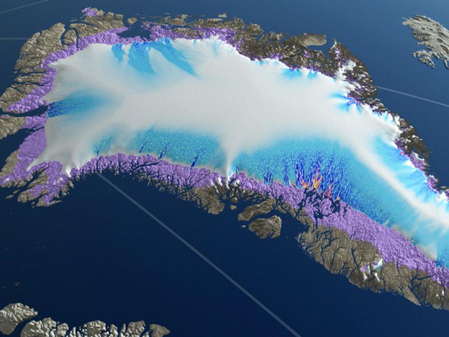
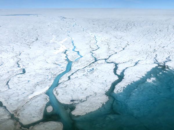
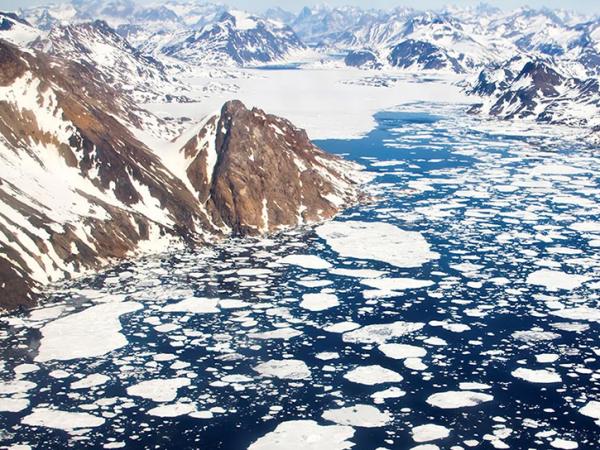
OMG used NASA's G-III to fly the Glacier and Ice Surface Topography Interferometer (GLISTIN-A) in order to generate high resolution, high precision elevation measurements of Greenland’s coastal glaciers during the spring. Annual surveys by GLISTIN-A measured glacier thinning and retreat over the preceding season. A second aircraft campaign occurred each summer to deploy 250 expendable temperature and salinity probes along the continental shelf to measure the volume and extent of warm, salty Atlantic water. These data, along with fundamental new and critical observations of airborne marine gravity and ship-based observations of the sea floor geometry, provided a revolutionary dataset for understanding ocean/ice interactions and led to improved estimates of global sea level rise.
Terra Satellite Observations to Cease on December 1, 2026
Read the data alert