The Outer Continental Shelf Lands Act requires the U.S. Bureau of Ocean Energy Management to ensure compliance with the U.S. National Ambient Air Quality Standard (NAAQS) so that offshore oil and natural gas exploration, development, and production do not significantly impact the air quality of any state. In 2017, BOEM and NASA entered into an interagency agreement to study the feasibility of BOEM personnel using a suite of NASA and non-NASA resources to assess how pollutants from oil and gas exploration, development, and production activities affect air quality.
An important activity of this interagency agreement was the Satellite Coastal and Oceanic Atmospheric Pollution Experiment (SCOAPE), a field deployment in May 2019 that aimed to assess the capability of satellite observations for monitoring offshore air quality. The SCOAPE science team conducted surface-based remote sensing and in situ measurements, which enabled a systematic assessment of the application of satellite observations for monitoring air quality.
Field measurements consisted of onshore ground sites and from the research vessel Point Sur. Ground-based observations included spectrometer-measured column NO2 and O3, in-situ NO2, VOCs, and planetary boundary layer structure.
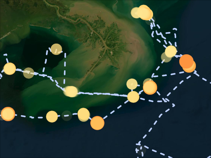
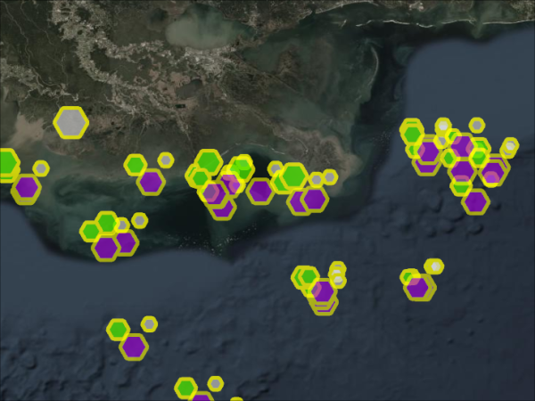
The cruise track for the research vessel was designed to sample both areas with large oil drilling platforms and areas with dense small natural gas facilities. Point Sur was instrumented to carry out remote sensing and in situ measurements of NO2 and O3 , along with in-situ CH4, CO2, CO, and VOC tracers which allowed detailed characterization of airmass type and emissions. There were also measurements of multi-wavelength aerosol optical depth (AOD) and black carbon, as well as planetary boundary layer structure and meteorological variables such as surface temperature, humidity, and winds. A ship-based spectrometer provided remotely-sensed total column amounts of NO2 and O3 for direct comparison with satellite measurements. Ozonesondes and radiosondes were also launched 1-3 times daily from the R/V Point Sur to provide O3 and meteorological vertical profile observations.
The in situ measurements from SCOAPE were reported in ICARTT files or Excel files. The remote sensing data are in either HDF or netCDF files.
In June 2024, SCOAPE-II was completed as a follow-on to SCOAPE-I. The primary objectives of SCOAPE-II were to collect shipboard in situ data and learn more about plumes from oil and gas in the Gulf of America; to validate data on NO2 columns from the TEMPO instrument; and to assess the feasibility of using hourly scans for monitoring air quality. SCOAPE-II also introduced an aircraft component to support comparisons with in situ and satellite observations.
During the primary campaign period, the science team flew aircraft with the AVIRIS-3 instrument to measure methane column enhancements. In a separate flight period in October 2024, researchers made observations of NO2 plumes at deep water targets using the Geostationary Coastal and Air Pollution Event (GEO-CAPE) Airborne Simulator (GCAS) instrument.