We are in the process of migrating all NASA Earth science data sites into Earthdata from now until end of 2026. Not all NASA Earth science data and resources will appear here until then. Thank you for your patience as we make this transition.
Read about the Web Unification Project
Featured Projects
NASA's Applied Remote Sensing Training (ARSET) program teaches people to use Earth-observing data in their environmental management and decision-making.
The Harmonized Landsat and Sentinel-2 (HLS) project generates global land surface reflectance data every 2 to 3 days at 30 meter resolution.
Explore All Projects
Filters
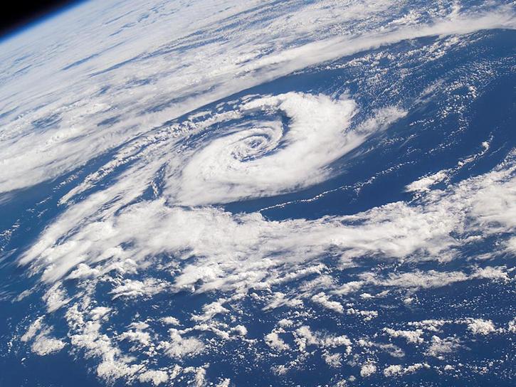
BOREAS focused principally on radiation, biogeochemical, and chemistry interactions between the boreal forest and troposphere through winter, summer, and transitional seasons.
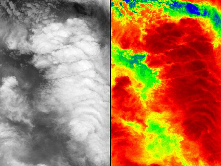
The Canadian CloudSat/CALIPSO Validation Project (C3VP) used various ground-based and airborne instrumentation to thoroughly study cold season precipitation systems and therefore improve the modeling and remote sensing of snowfall.
NASA's Convection and Moisture Experiment 1 (CAMEX-1) was a NASA funded experiment designed to study the three-dimensional moisture fields using satellite, aircraft, and ground-based instrumentation and the multifrequency radiometric and lightning signatures of tropical convection.

NASA's Convection and Moisture Experiment 2 (CAMEX-2) was a NASA funded experiment designed to study three-dimensional moisture fields.
The Convection and Moisture Experiment 3 (CAMEX-3) studied tropical cyclone development, tracking, intensification, and landfalling impacts.

NASA's Convection and Moisture Experiment 4 (CAMEX-4) focused on the study of tropical cyclone (hurricane) development, tracking, intensification, and landfalling impacts.
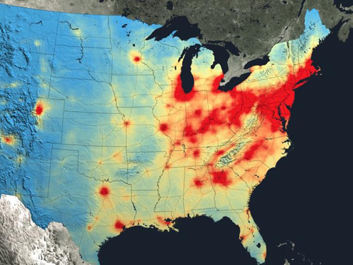
The CARbon Atmospheric Flux Experiment (CARAFE) campaign measured the exchange of greenhouse gases between the Earth and the atmosphere in the Mid-Atlantic region.
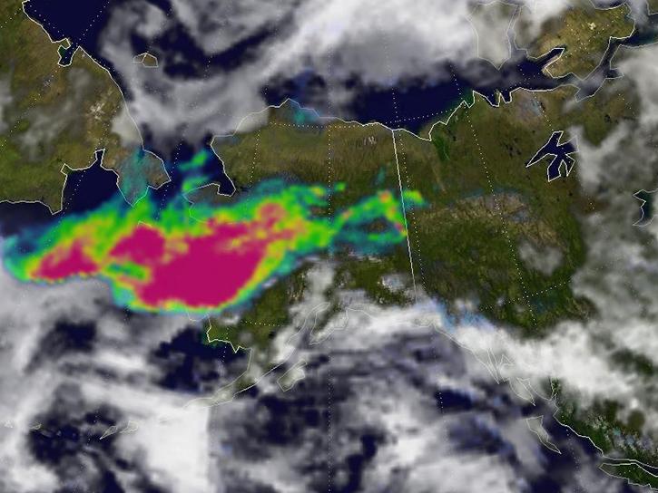
CARVE focused on quantifying arctic storage and fluxes of carbon and how these relate to climate change.
SHOWING 8 OF 84