We are in the process of migrating all NASA Earth science data sites into Earthdata from now until end of 2026. Not all NASA Earth science data and resources will appear here until then. Thank you for your patience as we make this transition.
Read about the Web Unification Project
Featured Projects
NASA's Applied Remote Sensing Training (ARSET) program teaches people to use Earth-observing data in their environmental management and decision-making.
The Harmonized Landsat and Sentinel-2 (HLS) project generates global land surface reflectance data every 2 to 3 days at 30 meter resolution.
Explore All Projects
Filters
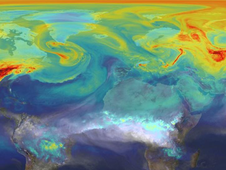
CMS is designed to make significant contributions in characterizing, quantifying, understanding, and predicting the evolution of global carbon sources and sinks through improved monitoring of carbon stocks and fluxes.


The Convective Processes Experiment (CPEX) was a NASA investigation that focused on studying convective processes over tropical waters to better understand the life cycle of tropical convective storms.
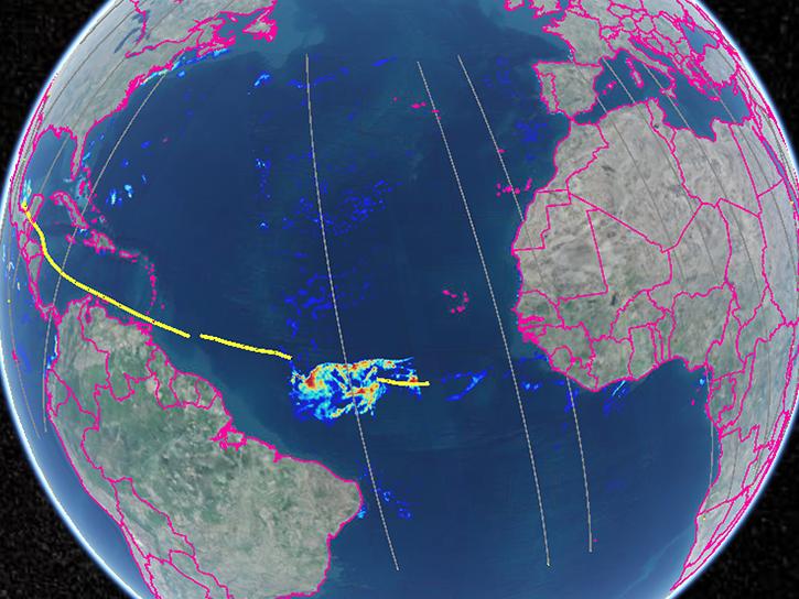
The Convective Processes Experiment - Aerosols and Winds (CPEX-AW) studied the dynamics and microphysics of the Saharan Air Layer, African Easterly Waves and Jets, Tropical Easterly Jet, and deep convection in the InterTropical Convergence Zone.
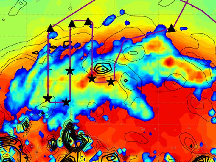
The Convective Processes Experiment - Cabo Verde (CPEX-CV) focused on studying atmospheric dynamics and marine boundary layer properties within the tropical East Atlantic region.

The Data Curation for Discovery team is improving the discovery of NASA Earth science data and promoting its use through interagency collaboration.
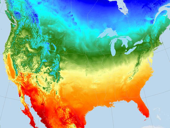
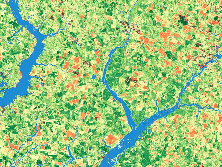
Daymet provides long-term gridded estimates of daily weather and climatology variables for North America, including Hawaii and Puerto Rico.

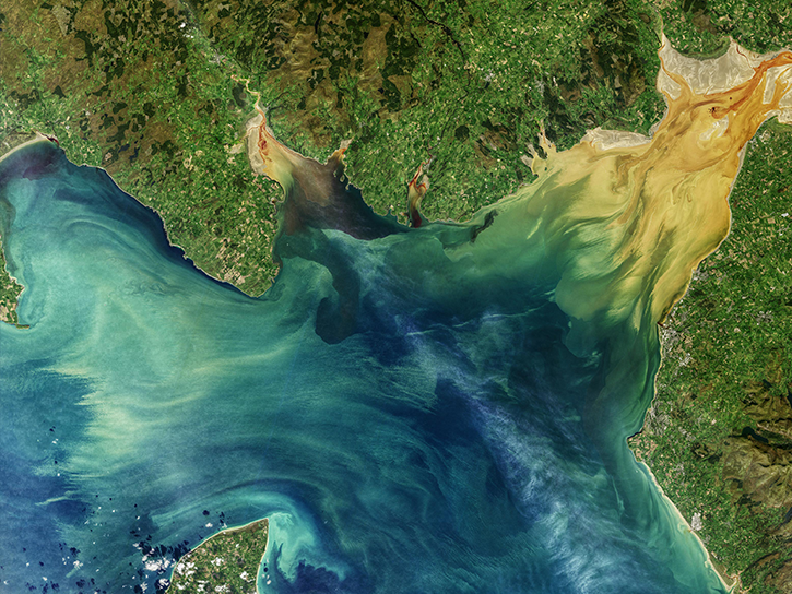
Delta-X was a 5-year campaign focusing on environmental changes in the Mississippi River Delta.
SHOWING 8 OF 84