We are in the process of migrating all NASA Earth science data sites into Earthdata from now until end of 2026. Not all NASA Earth science data and resources will appear here until then. Thank you for your patience as we make this transition.
Read about the Web Unification Project
Featured Projects
NASA's Applied Remote Sensing Training (ARSET) program teaches people to use Earth-observing data in their environmental management and decision-making.
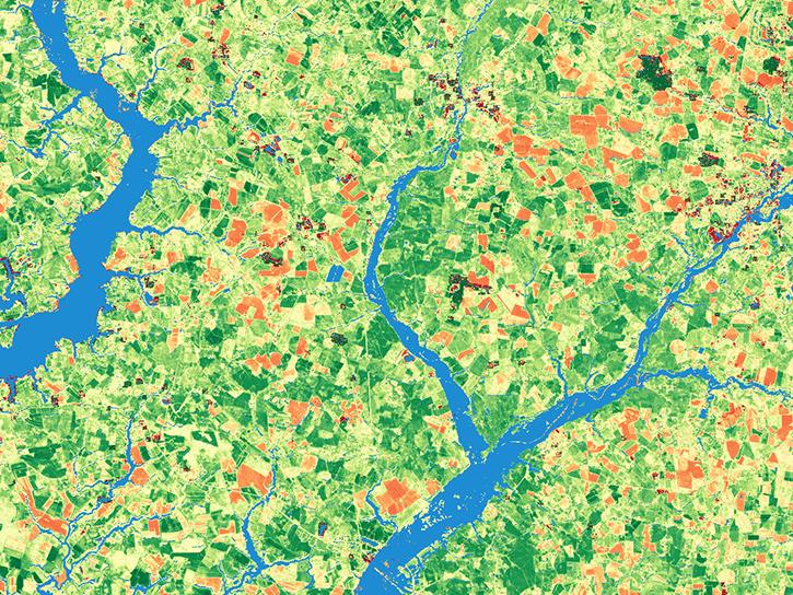
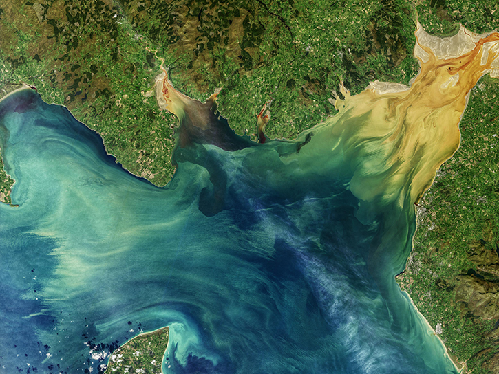
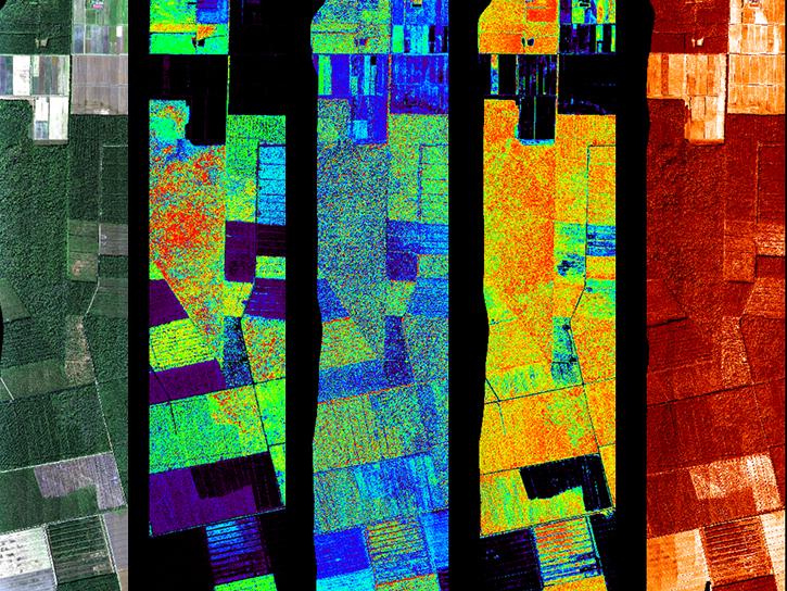
The Harmonized Landsat and Sentinel-2 (HLS) project generates global land surface reflectance data every 2 to 3 days at 30 meter resolution.
Explore All Projects
Filters

The Earth Information System (EIS) is a transdisciplinary, collaborative research and applications activity that combines NASA's satellite observations with modeling capabilities to produce new, integrated information enabled by emerging technology.

The objective of the EOS Land Validation (Land Val) Project is to support the validation of Earth Observing System (EOS) Land Products.

The East Pacific Origins and Characteristics of Hurricanes (EPOCH) project studied tropical cyclogenesis, or intensification, of an Eastern Pacific hurricane.
The First International Satellite Land Surface Climatology Project (ISLSCP) Field Experiment (FIFE) studied biosphere-atmosphere processes and tested various remote sensing measurement techniques for satellite and model validation.
FLUXNET is a global network of micrometeorological tower sites that use eddy covariance methods to measure the exchanges of carbon dioxide, water vapor, and energy between terrestrial ecosystems and the atmosphere.
G-LiHT is a portable airborne imaging system that simultaneously maps the composition, structure, and function of terrestrial ecosystems.

NASA's Cold Season Precipitation Experiment (GCPEx) collected microphysical properties, associated remote sensing observations, and coordinated model simulations of precipitating snow.
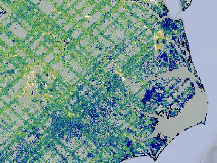
GEDI studies how deforestation has contributed to atmospheric CO2 concentrations, how much carbon forests will absorb in the future, and how habitat degradation will affect global variability of life.
SHOWING 8 OF 84