We are in the process of migrating all NASA Earth science data sites into Earthdata from now until end of 2026. Not all NASA Earth science data and resources will appear here until then. Thank you for your patience as we make this transition.
Read about the Web Unification Project
Featured Projects
NASA's Applied Remote Sensing Training (ARSET) program teaches people to use Earth-observing data in their environmental management and decision-making.
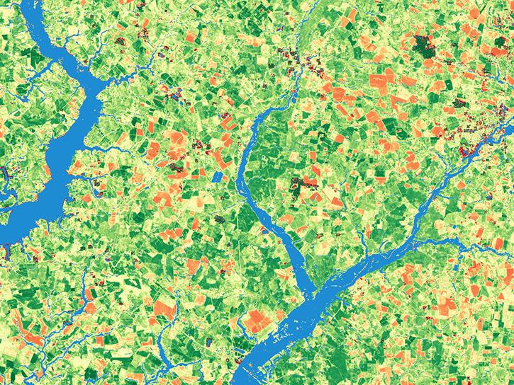
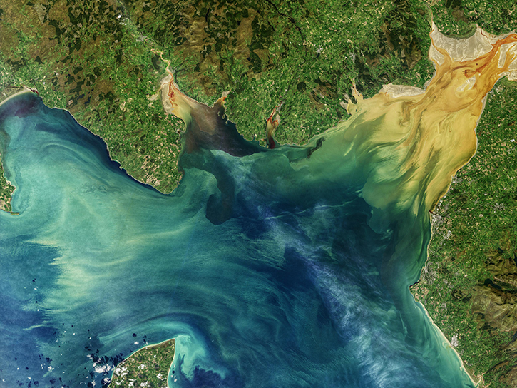
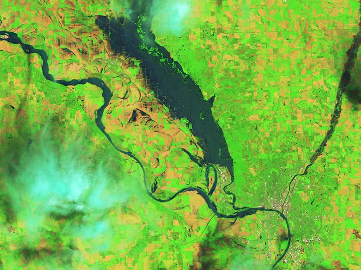
The Harmonized Landsat and Sentinel-2 (HLS) project generates global land surface reflectance data every 2 to 3 days at 30 meter resolution.
Explore All Projects
Filters
The Harmonized Landsat and Sentinel-2 (HLS) project generates global land surface reflectance data every 2 to 3 days at 30 meter resolution.
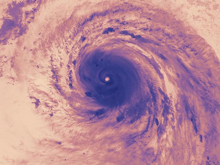
NASA's Hurricane and Severe Storm Sentinel (HS3) project was an airborne field campaign focused on better understanding the physical processes that control hurricane intensity change.
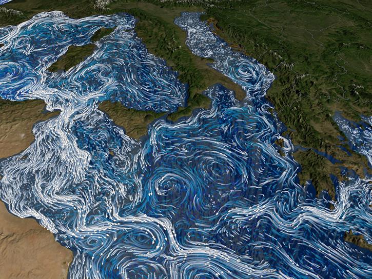
NASA's Hydrological Cycle in the Mediterranean Experiment (HyMeX) field campaign aimed to improve the understanding, quantifying, and modeling of the hydrological cycle in the Mediterranean.

NASA's International Collaborative Experiment for PyeongChang Olympic and Paralympics (ICE-POP) provided ground-based instruments for forecast and research studies before, during, and after the 2018 Winter Olympic Games.
NASA's Iowa Flood Studies (IFloodS) experiment took rainfall measurements in conjunction with satellite overpasses to help assess the accuracy of satellite rainfall retrieval when used for flood forecasting.
NASA's Investigation of Microphysics and Precipitation for Atlantic Coast-Threatening Snowstorms (IMPACTS) campaign primarily focused on the formation and evolution of snow bands in the eastern United States.
NASA's Integrated Precipitation and Hydrology Experiment (IPHEx) characterized warm season orographic precipitation regimes, and the relationship between precipitation regimes and hydrologic processes in regions of complex terrain.
The International Satellite Land Surface Climatology Project, Initiative II (ISLSCP II) was part of the Global Energy and Water Experiment.
SHOWING 8 OF 84