
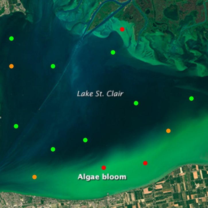
CyFi is a command line tool that uses satellite imagery and machine learning to estimate levels of cyanobacteria—a type of harmful algal bloom (HAB)—in small, inland water bodies.

The CyFi Explorer tool enables users to view corresponding Sentinel-2 satellite imagery for each cyanobacteria estimate, and estimate cyanobacteria density.
Tool at a Glance

Data Tool Type

Analysis
Search and Discovery
Visualization

CyFi Explorer News

Filters
The open-source Cyanobacteria Finder (CyFi) uses machine learning to pinpoint areas that may contain harmful algal blooms in lakes, reservoirs, rivers, and other small water bodies.
Blog
Feb. 13, 2024
SHOWING 1 OF 1

CyFi Explorer Learning Resources

Filters
No Results

Join Our Community of NASA Data Users

While NASA data are openly available without restriction, an Earthdata Login is required to download data and to use some tools with full functionality.

Learn About the Benefits of Earthdata Login

Get Help

QUESTIONS & SUPPORT

Have a question?

Get help with NASA Earth science data, datasets, tools, services, and metadata on the Earthdata Forum. Experienced staff in the data user community review and answer questions.

Get help on Earthdata Forum
Earthdata
Forum