Giovanni is a web application used to display and analyze geophysical parameters in remote sensing data where the data lineage is known. Giovanni services include the creation of time-averaged maps, comparison plots, vertical plots, and animations. 

Image
Image Caption

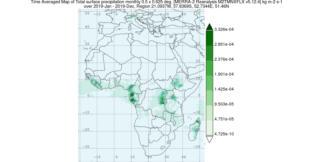
This is a time-averaged map of total surface precipitation in 2019 over Africa. The map was generated with Merra-2 Reanalysis data using Giovanni.

Tool at a Glance

Data Tool Type

Search and Discovery
Analysis
Access
Visualization
Downloading
Subsetting

Giovanni News

Filters
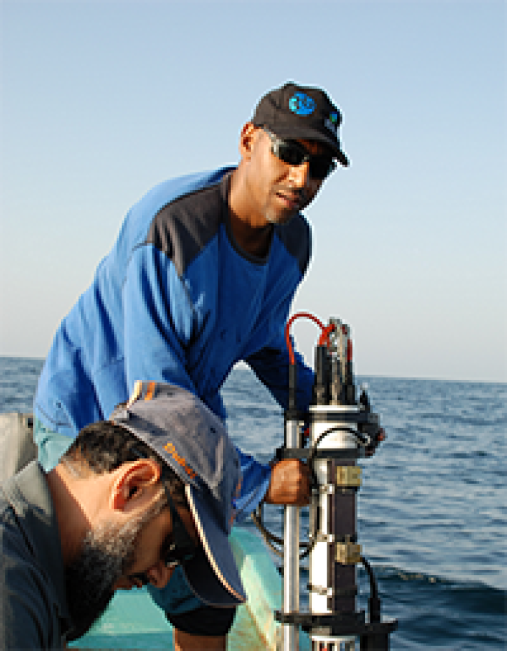
Who uses NASA Earth science data? Adnan Al-Azri, to study why periodic harmful blooms of algae occur in the Sea of Oman and Arabian Sea.
Data User Story
Who uses NASA Earth science data? Dr. Charles Ichoku, to study the global and regional impacts of fires in Northern Sub-Saharan Africa.
Data User Story
Who Uses NASA Earth Science Data? Dr. Greg Jenkins, to study weather, climate, atmospheric chemistry, and air quality of West Africa.
Data User Story
SHOWING 4 OF 6

Giovanni Learning Resources

Filters
SHOWING 4 OF 34

Join Our Community of NASA Data Users

While NASA data are openly available without restriction, an Earthdata Login is required to download data and to use some tools with full functionality.

Learn About the Benefits of Earthdata Login

Get Help

QUESTIONS & SUPPORT

Have a question?

Get help with NASA Earth science data, datasets, tools, services, and metadata on the Earthdata Forum. Experienced staff in the data user community review and answer questions.

Get help on Earthdata Forum
Earthdata
Forum