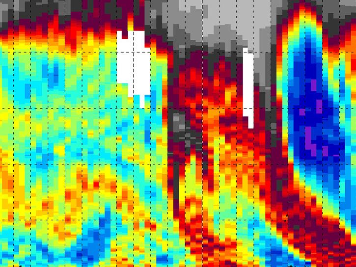
The Tropospheric Ozone Lidar Network (TOLNet) was established in 2012 to provide high spatio-temporal profiles of ozone in the lowest part of the atmosphere (the troposphere). These profiles allow for a better understanding of the physical processes driving the ozone budget in various meteorological and environmental conditions. They also validate the tropospheric ozone measurements made by spaceborne instruments.
We are in the process of migrating all NASA Earth science data sites into Earthdata from now until end of 2026. Not all NASA Earth science data and resources will appear here until then. Thank you for your patience as we make this transition.
Read about the Web Unification Project