We are in the process of migrating all NASA Earth science data sites into Earthdata from now until end of 2026. Not all NASA Earth science data and resources will appear here until then. Thank you for your patience as we make this transition.
Read about the Web Unification Project
Filters

SAR data from a constellation of Airbus U.S. satellites are now available to U.S. Government federal agency employees and contractors.
News
Oct. 17, 2023

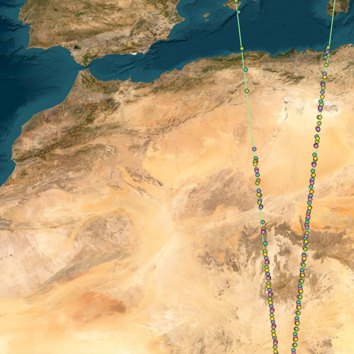
Image captured on Oct 9, 2023, by the MSI instrument aboard the ESA (European Space Agency) Sentinel-2A and -2B satellites.
Worldview Image of the Week
Oct. 12, 2023

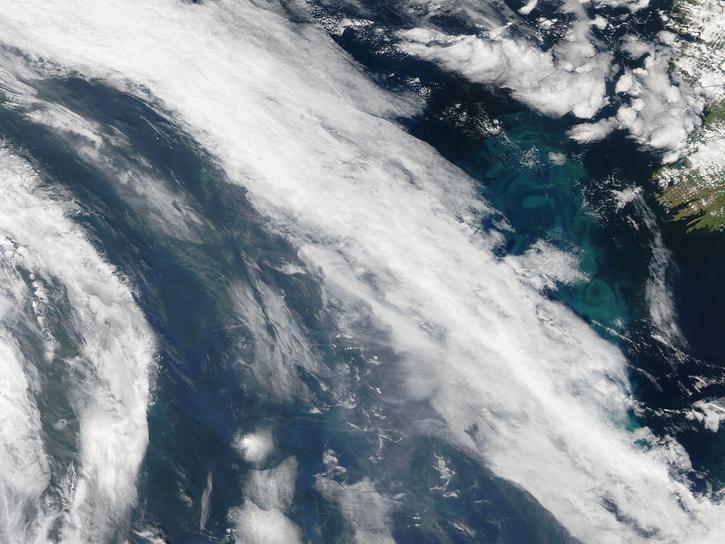
Image captured on Oct 4, 2023, by the VIIRS instrument aboard the joint NASA/NOAA Suomi NPP satellite.
Worldview Image of the Week
Oct. 5, 2023
OpenAltimetry, a cyberinfrastructure platform for working with data from NASA’s Ice, Cloud, and land Elevation Satellite (ICESat) and ICESat-2 missions, is now a full NASA Earth science application.
News
Oct. 5, 2023
The SeaDAS software application lets users process, visualize, and analyze NASA ocean color and other data products.
Feature Article
Oct. 3, 2023

NASA announces that RADARSAT-1 data are Open Data at NASA’s Alaska Satellite Facility Distributed Active Archive Center (ASF DAAC).
News
Oct. 2, 2023
Join NASA's Aerosol Cloud Meteorology Interactions Over the Western Atlantic Experiment (ACTIVATE) science team for a free and open hybrid data workshop Nov 13-15, 2023.
Event
Sept. 30, 2023

A summary of datasets, products, and resources released by NASA’s Distributed Active Archive Centers (DAACs) in September 2023.
News
Sept. 29, 2023
SHOWING 8 OF 2326